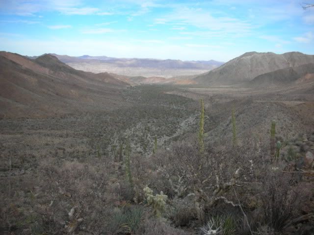
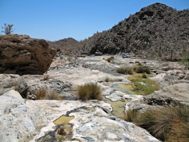
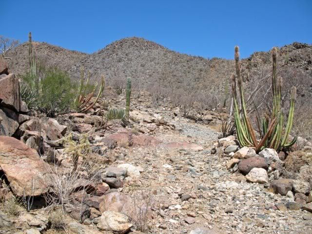
Originally posted by bent-rim
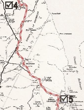
I'm not sure how you're getting to Coco's, but about 22-23 miles south of Catavina is a trail that heads east and drops down to a wash that will dump
you out near the graded road that leads to Coco's, to the south. If you head north on the graded road it will take you to the Rancho Market in
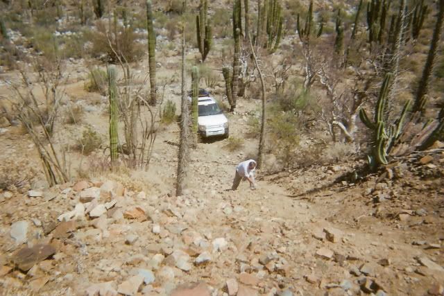
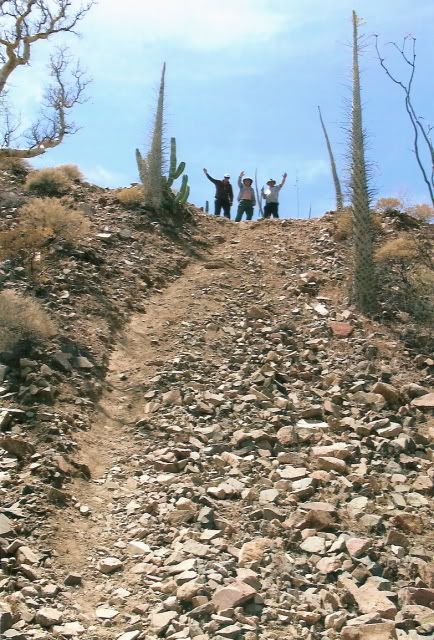
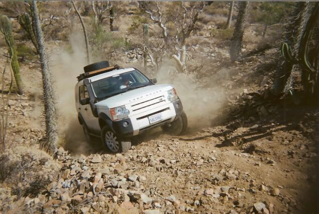
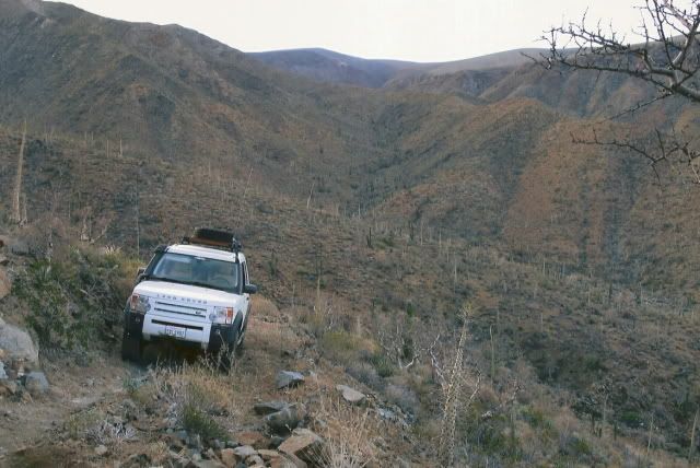
Gonzaga where you can stock up on supplies. The trail is steep in some sections going downhill. It might be the La Turquesa route that I've seen
mentioned on this site in other threads. |


 )
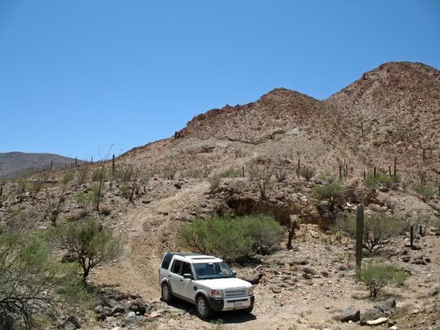
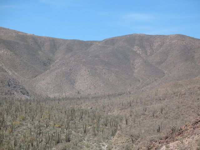
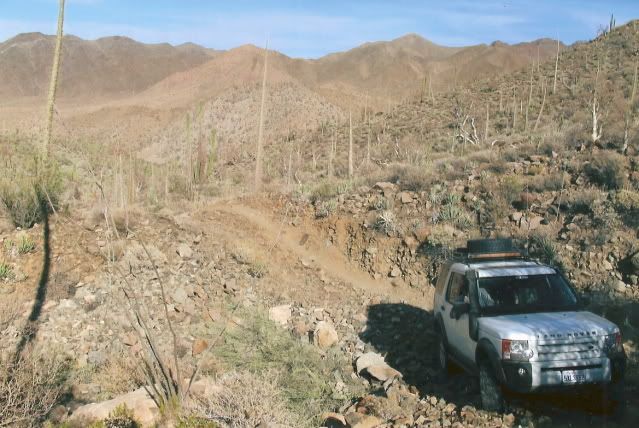
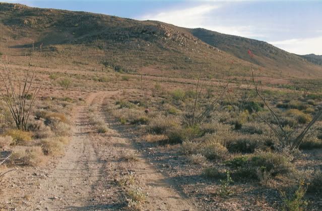
) ...the rougher
hardpacked whoops and holes/ruts further south are a blessing compared to the sand....that road comes out at the BoLA road at KM 11 I believe....
...the rougher
hardpacked whoops and holes/ruts further south are a blessing compared to the sand....that road comes out at the BoLA road at KM 11 I believe....