Originally posted by bent-rim
Great pictures, looks like you had a good ride. It's ironic that that the other day I was thinking about how dirt bikers are different than surfers
regarding sharing ride/surf locations. I've had total strangers share really cool routes with me and my buddies and we've done likewise. It's not
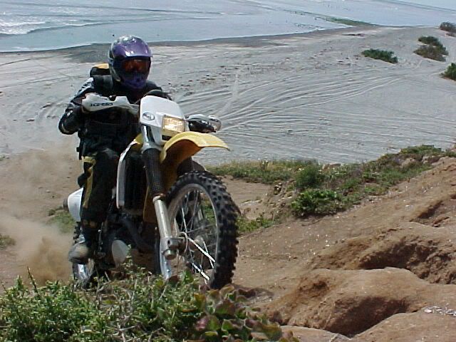
like thousands of people are going to desend upon Baja with their dirt bikes. Here's a rough guide to some of the tougher rides I've been a part of:
Leaving Mikes to the west and riding the San Rafael river/creek. It comes out north of Punta Colenet, we head north to San Vicente for gas and tacos,
there was a great taco stand where one woman cooked the meat and the other woman made and cooked fresh tortillas.
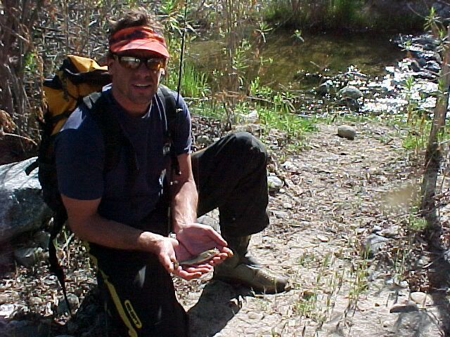
South of San Quintin at Los Pinos head east for a rocky ride that will end up a little north of of Catavina, you'll come out on Hwy 1 near a little
store that has cold drinks.
About 15 20 miles south of Catavina head east for the back way into Coco's, this might have been the La Turquesa route that's been mentioned before in
other postings by 4 wheelers, although I don't know how they could have taken the same route as we did, which makes me think we probably missed a turn
or something. We had to do a 15-20' vertical drop into a boulder wash that took us about 2 hours to go a mile and a half and then it flattened out
and were soon at Coco's having a beer. There were sections that were real shaly. Sometime you'll see another way that "might be easier", but it's so
hard to get there that you stick with the route you've choosen.
There's a great way into San Ignacio from San Francisquito. Head south to El Barril and further on to Los Corrales. The road pretty much ends there,
we carried extra gas with us, there was a bush/tree with gallon jugs hanging from it, that's where we dumped our gas in the tanks and contributed to
the bush/tree. Go along the SOC until you get Trinidad Lagoon then turn west and enjoy 40-50 miles of no road until you pick up a goat trail that
turns into a road that will take you to the hwy south of San Ignacio.
I've tried surfing, I'm a better dirt biker. I'll stick to the instant gratifacation of boogie boarding, especially in Nor Cal with cold H2O, it's
never crowded. Underneath the Golden Gate Bridge is Fort Point with a nice left that occurs in the winter time.
Apologies to Woody but I've alot of nice breaks west and north of Rosarito. |