Originally posted by bajacalifornian
I first found in Antigua California, by Crosby on my page 221, a trip I want to make.
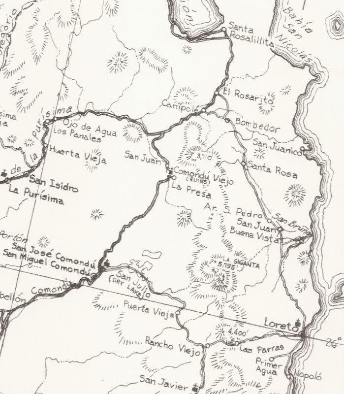
A pearl of significance, was the route originally stopping in San Juan at Londo. In 1701, the Indians taught Salvatierra an easy way into mountains,
previously passable only with the aid of ropes, and elaborate trail-clearing efforts. He learned to "circumnavigate" the six-thousand foot peak of La
Giganta. Then came the mission of San Jose & others.
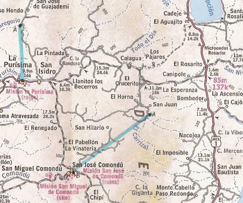
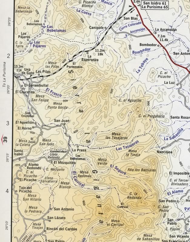
I've invited a buddy to go first to "San Juan at Londo". If it is good, I'm making images afternoon & morning then moving to San Juan. San Juan
for the evening & morning light as well. From there, no se.
Have time to stare at some bee one are dees. Looking forward to it with intention of posting images. Jeff
P.S. The point of San Juan will be Comondu Viejo.
|