BajaNomad

Escalante, Utah

Marc - 6-12-2011 at 06:57 AM

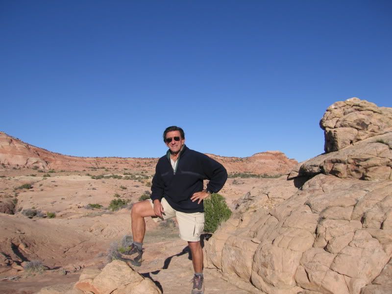
Took a trip last month to Utah. Met up with an old Navy buddy (Pearl Harbor 1959).
I drove from San Francisco to Ely Nevada on US 50 in 9 hours. They bill it as "the loneliest road in the world". Well after more than one round trip I would vote for UT 21. I swear I didn't see a single car from Garrison to Milford. A 5 hour drive Ely to Escalante.
The Escalante region is a cool place, and the town has grown some since I was last there. Some new shops, motels and restaurants. The motels were full in early May. We hiked some interesting canyons and washes.
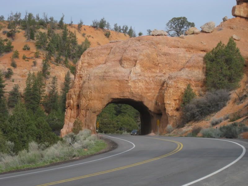
Red Canyon on the road to Escalante

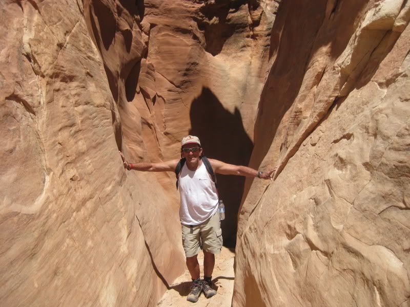
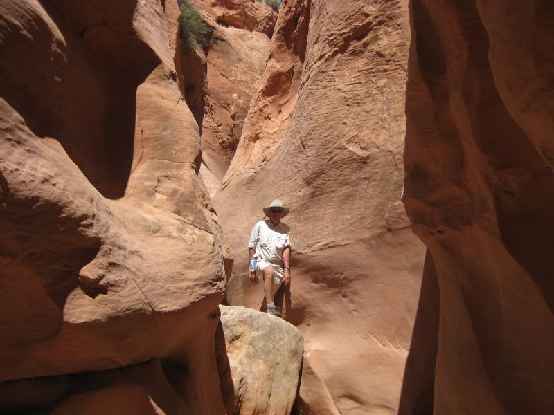
Many Slots


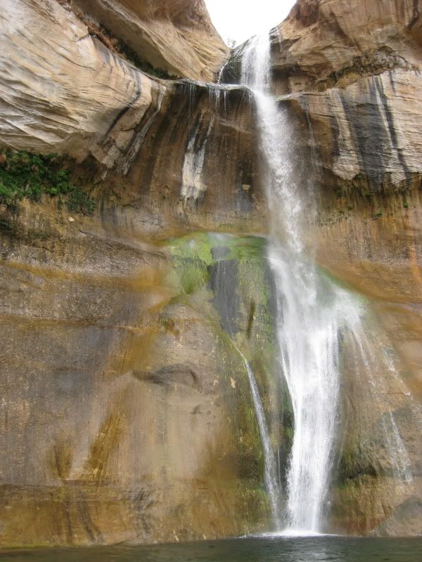
Calf Creek

The Great Explorer

wessongroup - 6-12-2011 at 07:33 AM

Thanks, some nice pic's.... good that water was still moving... great location

Hook - 6-12-2011 at 09:47 AM

I think maybe you mean UTAH hwy 12.

I think my favorite loop route in all the west (for cruising) is UT 12 east from US 89 all the way up to and including Capitol Reef Natl Park, then west to the Fish Lake area and back south to the Panguitch area by taking UT 62.

The area along the whole route is filled with that great transitional area of desert scrub to pinyon/junipers to ponderosas with tons of empty Forest Service/BLM roads. Great red rock country. Tremendous dispersed camping. Much less bugs than further north at similar times of the year.

David K - 6-12-2011 at 10:00 AM

Thanks Marc! Moab, Arches, and all that region is on our to-do list!

Marc - 6-12-2011 at 10:15 AM

Quote:
Originally posted by Hook
I think maybe you mean UTAH hwy 12.

I think my favorite loop route in all the west (for cruising) is UT 12 east from US 89 all the way up to and including Capitol Reef Natl Park, then west to the Fish Lake area and back south to the Panguitch area by taking UT 62.

The area along the whole route is filled with that great transitional area of desert scrub to pinyon/junipers to ponderosas with tons of empty Forest Service/BLM roads. Great red rock country. Tremendous dispersed camping. Much less bugs than further north at similar times of the year.


I agree UT 12 / 62 loop is great. There was snow on the summit in mid May. I plan to explore the area again.
The "lonely road" I referred to is UT 21 from the Nevada border to US 15 at Beaver. From Garrison to Milford is 100 or so miles. I was in my Tundra going much to fast. BTW I didn't see one highway cop from Fallon to Escalante.

Osprey - 6-12-2011 at 10:35 AM

Marc, if you get that far again try the Burr trail down through the Henry Mountains. Also there are 86 small lakes on the top of the Aquarius Plateau above Escalante -- 5 wilderness areas and NO PEOPLE. Utah fish and game know which ponds/lakes/streams hold trout in late spring -- they don't bother to plant a lot of those areas with trout fry because there's no fishermen and they winterkill.

wessongroup - 6-12-2011 at 10:41 AM

Wow... thanks for the additional info... not sure I will get to use, but will try.. like that area...

Ely, NV

bajaguy - 6-12-2011 at 09:29 PM

Quote:
Originally posted by Marc
...........I was in my Tundra going much to fast. BTW I didn't see one highway cop from Fallon to Escalante.
.........

Marc.........next time you are in the Ely area, stop and check out the town (great railroad train excursion, dig for Garnets and check out Cave Lake State Park).........oh, and let me know when you will be on Hwy 50.......I might be able to set up a meeting with a Nevada DPS trooper or two!!!! :lol:

[Edited on 6-13-2011 by bajaguy]
bajamigo - 6-12-2011 at 09:32 PM

You are so accommodating, teniente.

bajaguy - 6-12-2011 at 09:41 PM

Quote:
Originally posted by bajamigo
You are so accommodating, teniente.


Service is my middle name, and I don't want Marc to be lonely!!! :lol:

Marc - 6-13-2011 at 06:19 AM

Quote:
Originally posted by bajaguy
Quote:
Originally posted by Marc
...........I was in my Tundra going much to fast. BTW I didn't see one highway cop from Fallon to Escalante.
.........

Marc.........next time you are in the Ely area, stop and check out the town (great railroad train excursion, dig for Garnets and check out Cave Lake State Park).........oh, and let me know when you will be on Hwy 50.......I might be able to set up a meeting with a Nevada DPS trooper or two!!!! :lol:

[Edited on 6-13-2011 by bajaguy]


Guy, thanks, I'll take my chances. A couple of years ago I was "flying" on on #50 on the way to Ely then Utah. A Nevada DPS cop coming from the opposite direction just blinked his lights (slow down!) at me. I like those guys!

wilderone - 6-13-2011 at 09:15 AM

That area is a hiker's, backpacker's heaven. Drove Hole in the Rock Road (which traverses the Escalante Nat'l Monument (? I think that's its status now), to Lake Powell to launch some kayaks many years ago. Looked like a good idea on the map! Spent all day hiking down to the lake and back, several times, sometimes assisted by sympathetic boaters who hiked up the historic "path" (ha!), to get all our gear and boats down to the lake. Had a fabulous time.
Is that Calf Creek Falls?

Marc - 6-13-2011 at 05:27 PM

Quote:
Originally posted by wilderone
That area is a hiker's, backpacker's heaven. Drove Hole in the Rock Road (which traverses the Escalante Nat'l Monument (? I think that's its status now), to Lake Powell to launch some kayaks many years ago. Looked like a good idea on the map! Spent all day hiking down to the lake and back, several times, sometimes assisted by sympathetic boaters who hiked up the historic "path" (ha!), to get all our gear and boats down to the lake. Had a fabulous time.
Is that Calf Creek Falls?


Yup, that's Calf Creek Falls. About an hour each way hike from the parking/campsite area.
We drove Hole-in-The-Rock Road to Harris Wash. Also hiked from there to Spencer Flat Road. That's about 5 miles of steady up and down through some tricky slots.

Much more to do and see there. Maybe next year.

Bajahowodd - 6-13-2011 at 06:24 PM

We've done the area several times. I have always considered it to have a certain spiritual quality.

My fave trip was out to Moab, through Arches, and back into Hall's Crossing for a week of house boating.

Just wanted to mention that despite allowing massive amounts of water to flow downstream, toward Lake Mead, the snow pack in the mountains around the Colorado basin are at record levels. Even though there's been years of drought, they expect Lake Powell to rise 18 feet this year.

Anyone who has never done a Powell trip really ought to consider it.

wilderone - 6-14-2011 at 07:27 AM

"they expect Lake Powell to rise 18 feet this year. Anyone who has never done a Powell trip really ought to consider it."

Hmmm - that amount of water would be incredible. Not sure I believe that. Would have to all happen over the next 3 months?? Best to do Lake Powell when the water level is low - more beach, access to canyon hiking, ruins. Spectacular scenery.

Bwana_John - 6-14-2011 at 10:28 AM

Quote:

Yup, that's Calf Creek Falls

That is Lower Calf Creek Falls.

I prefer Upper Calf Creek Falls

Hook - 6-14-2011 at 11:08 AM

An 18 foot rise at Powell is not that unusual. It's already come up about 26 feet from its April 9th low of the year.

Certainly looks like Powell will hit its highest level since 2001 (at least), IF they let it continue to rise at this rate. The lake has been rising over a foot a day for the last 6 days, which is amazing, given it's size.


http://lakepowell.water-data.com/

[Edited on 6-14-2011 by Hook]

[Edited on 6-14-2011 by Hook]

wessongroup - 6-14-2011 at 11:34 AM

That is one hell of a lot of water... in one day... thanks for the info... good news...

Lake Powell_Escalante

EdZeranski - 6-15-2011 at 12:39 PM

Quote:
Originally posted by wilderone
"they expect Lake Powell to rise 18 feet this year. Anyone who has never done a Powell trip really ought to consider it."

Hmmm - that amount of water would be incredible. Not sure I believe that. Would have to all happen over the next 3 months?? Best to do Lake Powell when the water level is low - more beach, access to canyon hiking, ruins. Spectacular scenery.


We've been on Lake Powell from full bowl to -120ft, a different lake each time. Our trips were with friends on their houseboat but we had our kayaks along so the best of two worlds. Our trips through Escalante started off 89 at Big Water then up through the Wilderness area. Camping on the Moon!

EdZ KG6UTS
now in Loreto