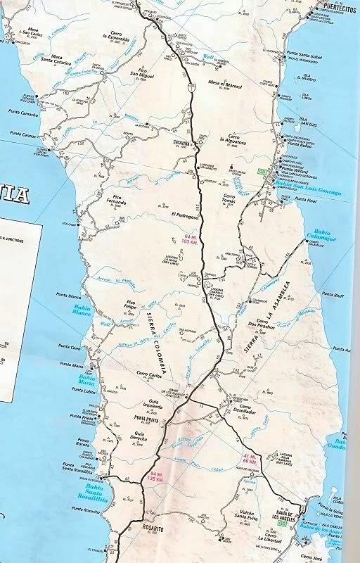
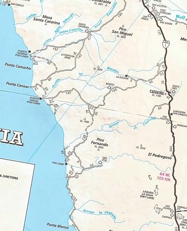
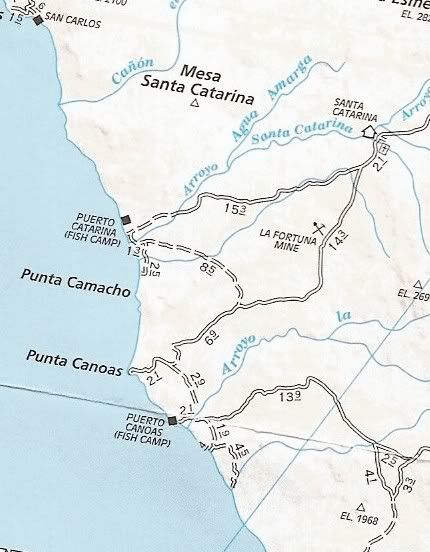
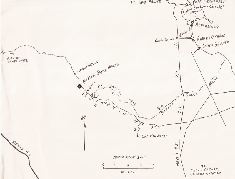
Originally posted by David K
| Quote: | Originally posted by TW
Bump so DK don't forget. |
I haven't forgot, but unless I have an income, I am not going anywhere!
Help me get back to Baja... or, keep DK off Nomad longer 
IRRIGATION with state-of-art low flow sprinklers/ drip system specialist. New, upgrades and repairs... Smart Controllers (use weather data to adjust
irrigation), valves, gardens, groves.
LOW VOLTAGE LIGHTING with high quality halogen or LED lamps for your night-scaping and security/ safety.
DRAINAGE and New Lawns also installed...
FREE Estimates in North SD County. Consultations for do-it-yourselfers or landscapers available. u2u me for contact info. Orange County, too.
|