
David K - 7-10-2011 at 10:24 AM
Continued from Monday 7-4-11: http://forums.bajanomad.com/viewthread.php?tid=53960
This is the final installment of our 4th of July long weekend trip report.
Like all my previous trips to Baja, this one was awesome even with the freaky weather that blew us off Shell Island on Saturday night/ Sunday morning!
Sunday was overcast from the hurricane or chubasco that hit us and covered this part of the peninsula. Monday was beautiful in El Rosario, but Tuesday
morning it was raining... more freaky, tropical weather.
Saturday all day was perfect and textbook Baja Shell Island awesome. So, we left a day sooner than planned... got to see how much progress the Gonzaga
Bay highway has made since the previous trip south of Puertecitos (July, 2010)... a whole 5 miles in one year. I guess that means 3 more yeasr to
reach Gonzaga and 10 years to Hwy. 1???
The drive to Gonzaga and on to El Rosario was great.. and our full day Monday showing Kristi some of El Rosario's sites was great, too. Kristi still
can't believe how nice the Baja Cactus Motel was, both being where it is located and the price (under $40) compared to any other motel that charges
much more and provides less.
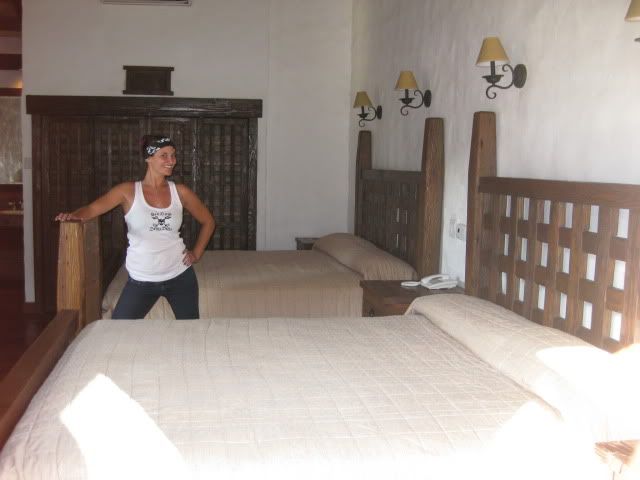
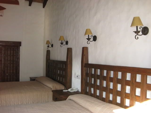
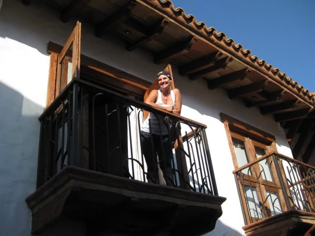
Here are some photos of our room at Baja Cactus, El Rosario...


We left El Rosario Tuesday morning (after the morning rain stopped) for the 230 mile, 5 hour drive back to the border at Tecate. We stop about halfway
to take a break and make some sandwiches at the oak grove picnic park/ campground which is located next to the first site of the mission of Santo
Tomas.
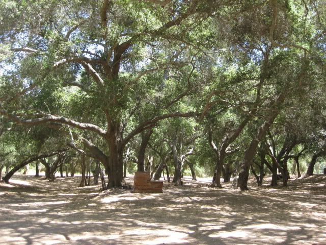
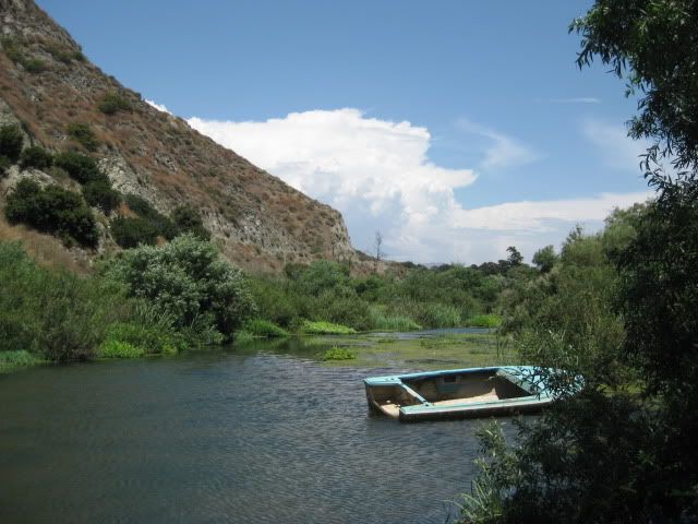
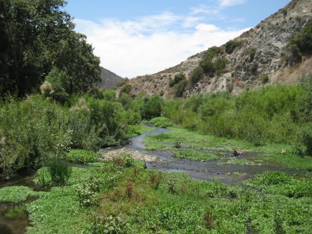

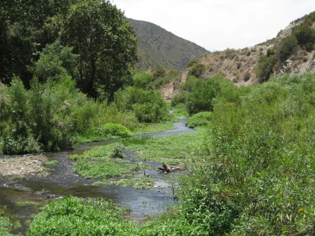
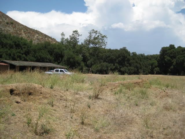
A very beautiful location along a running stream (Arroyo Santo Tomas) with a pond. To find this place, take the graded road to Puerto Santo Tomas
& La Bocana (located on the north side of the Santo Tomas valley, at the bottom of the grade on Hwy. 1. It is 3.5 miles from Hwy. 1 to the side
road left to the campground, which is 0.3 mile beyond. A large sign marks the road to the 'parador' or rest area.
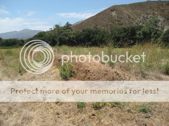
In the cleared field on the south side of the oak park is the site of the first location of Mision Santo Tomas de Aquino (1791). Only the melted adobe
remains of this site... No sign or other markers point it out. The padres moved the mission one mile east in 1794, where even less remains can be seen
in a pepper field just north of and higher to the graded road. In 1799, the final move of the mission was made to today's town of Santo Tomas, on Hwy.
1.

Hwy. 1 and Hwy. 3 to Tecate were in great shape and only a couple of tiny unpaved section were encountered south of Ensenada.
We arrived at the end of the border line at 4:28 pm Tuesday afternoon and were across the border in 47 minutes.
A Freaky Fourth because of the sudden weather change, but we still had a great time and look forward to the next time we go south!
[Edited on 7-11-2011 by David K]
standingwave - 7-10-2011 at 02:33 PM
Thanks, David, for the tip to the parador. Looks like a great spot for a break from the road.
David K - 7-10-2011 at 02:50 PM
It is a beauty of a spot for a picnic... Nobody there the times we stopped by.