Originally posted by tripledigitken
| Quote: | Originally posted by Desertbull
| Quote: | Originally posted by motoged
| Quote: | Originally posted by Desertbull
I think the reason for the whimsical responses and not a serious response is because most people don't want to give up their own GPS info and trails
etc. Many people have an incredible amount of hours invested in their GPS systems, files and maps. .... |
I like the joking 
He just isn't asking for private track logs or secret spots....just GPS map
software....he will make his own files, or not ....entering spots where fat ladies in
Hondas present unlimited danger, speeders are recklessly drinking and driving, areas
where no one can pedal a bicycle in soft sand, and points of interest only he would
want to remember.  |
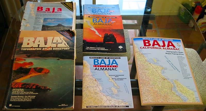
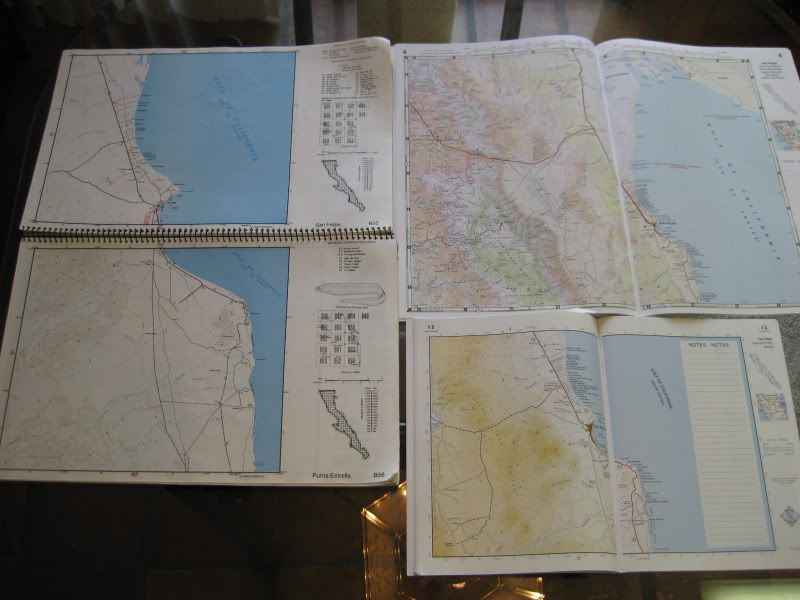
The maps from PCI are very detailed for public use, but I know many people who use "other" self constructed digital maps, which have been tediously
triangulated using known Baja waypoints, for mobile use with the iPad and many different GPS's, all which allow for really cool real time tracking
without mobile Internet even in Baja...so I was trying to say that their is private GPS map software that is way more advanced then you could imagine,
and those files are kept close by many, so the PCI files will work.
I have been using the iPad exclusively since it's release and with the software and maps that have been shared with us, all I can say "wow.". The
iPad is widely used
by pilots around the globe...similar technology in use on the ground in Baja. No
Internet needed. :-) |
Very interesting use of the iPad. What GPS do you use for this setup? No reason this couldn't be done with a laptop I suppose. Please explain how
the GPS interfaces with the cached maps, and what program is used for that. Pardon me if I missed that in the explanation.
Ken |