Originally posted by chrisx
¨jerry schaads map of the plateau¨
That is the name I forgot to remember
Your statement is useful and helpful; thank you
mcbeer repeatedly stressed a desire to kill people on bicycles
good guys do not wish to kill strangers
mcbeer is an alcoholic
note to mcbeer, take the bus if you don't know how to drive
| Quote: | Originally posted by mtgoat666
| Quote: | Originally posted by chrisx
Mcbeer
you should apologies to the world for existing
|
chris:
mcbeer has a fat mouth, but is one of the bad guys!
re spm in sept, go for it, great time of year (so is october and early november). i usually go in april and may, as water is more reliably found
then. august and early sept (end of monsoon season) may have almost daily t-storms that make peak climbing a bit challenging.
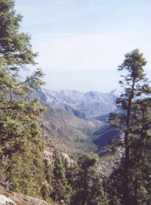
do bottella azul hike. you should be able to camp below (ne of the peak), and perhaps even find flowing water in area. at botella azul and range
crest south of park road, do a day hike or mtn bike first to get lay of land and explore area, approaches, etc., then come back next day and do
backpacking or overnote on mtn back with panniers.
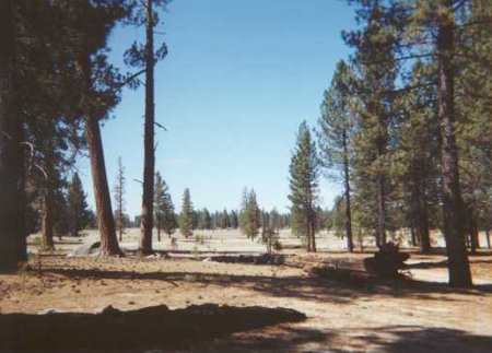
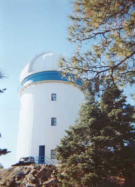
also, departing the old camp area below observatory, there are nice hikes or mtn bikes routes northward along range crest.
the peak bagging tourists always go south to el diablo and botella azul, so if you north of observatory, you will have entire mountain range crest to
yourself.
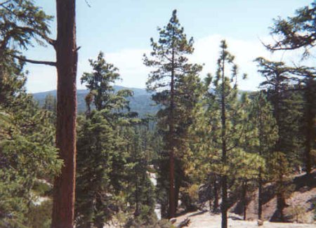
take you mtn bike, lots of great off road, hard packed, many miles of old roads.
get jerry schaads map of the plateau, no other map or guide book will suffice if doing trails and exploring, but be forewarned, the trails on jerry's
map are sketchy,... the roads are easy to find, the trails are so little used you won't be able to find them easily, if at all. the book by graham is
great reading, but not a guide book. |
|