BajaNomad

San Ignacio to Laguna Road Condition?

joel - 8-20-2011 at 02:43 PM

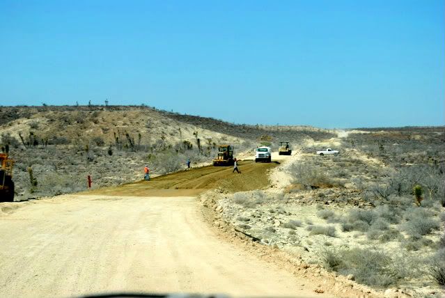
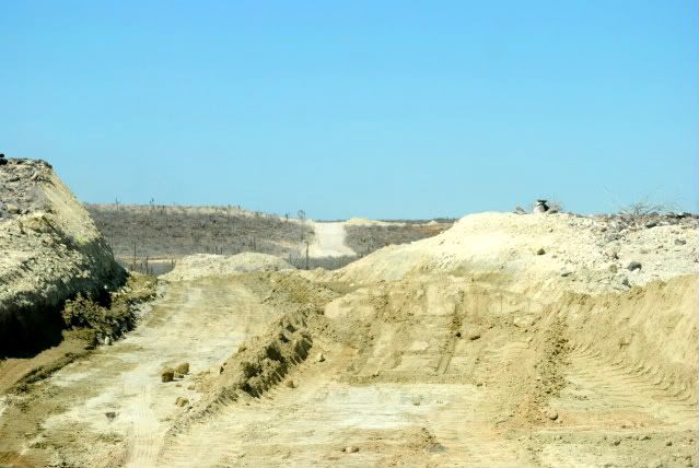
Can anyone tell me, roughly, how much of the road is now paved from San Ignacio out to La Laguna and the whale boats?

shari - 8-20-2011 at 03:00 PM

Juan says it's paved up to el rancho El Alamo...might be on your map? It sure is crappy after that though.

David K - 8-20-2011 at 10:47 PM

Quote:
Originally posted by shari
Juan says it's paved up to el rancho El Alamo...might be on your map? It sure is crappy after that though.


Here is one of the maps I made for following Mike and Don Kay on their walk to Cabo... They camped at Rancho El Alamo on Jan. 12... about 16 miles out of San Ignacio:


Sweetwater - 8-21-2011 at 08:11 AM

Nice map David.

We rode from San Ignacio through that area in early March following the Baja Mil route. We were later told that we could have made much better time at higher speeds by staying to the west on the "dune" road. The Mil route gets powdery in spots with some serious ruts.

What's your view......

David K - 8-21-2011 at 10:54 AM

Quote:
Originally posted by Sweetwater
Nice map David.

We rode from San Ignacio through that area in early March following the Baja Mil route. We were later told that we could have made much better time at higher speeds by staying to the west on the "dune" road. The Mil route gets powdery in spots with some serious ruts.

What's your view......


On the map, I added dashed lines for routes Mike and Don Kay could use to get south, as we didn't know which he would use. He ended up going to the lagoon shore, then took the inland road past Rancho Cuarenta.

I have not been in that area (yet)!

The Baja 1000 (last time in was in Baja Sur), went to El Patrocinio then to Cuarenta on the dashed line I added.

Paulina - 8-22-2011 at 11:35 AM

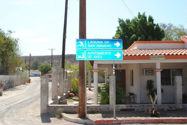
Photos from the end of June. I don't have my journal with me at the moment as to where the const. ended at the time.


P>*)))>{