Originally posted by David K
| Quote: | Originally posted by ElCazadorAZ
I don't use a GPS! They suck the brain right out of your head! Gimme the papyrus version of a map any day...
Thanks, all, keep 'em coming! H.
[Edited on 11-7-2011 by ElCazadorAZ] |
SANTA YNEZ (ranch owner's spelling)/ SANTA INES (most maps)... Is close to 1 mile south of Cataviña, on a paved side road (since those are rare, an
easy to spot specially with the white rocks).
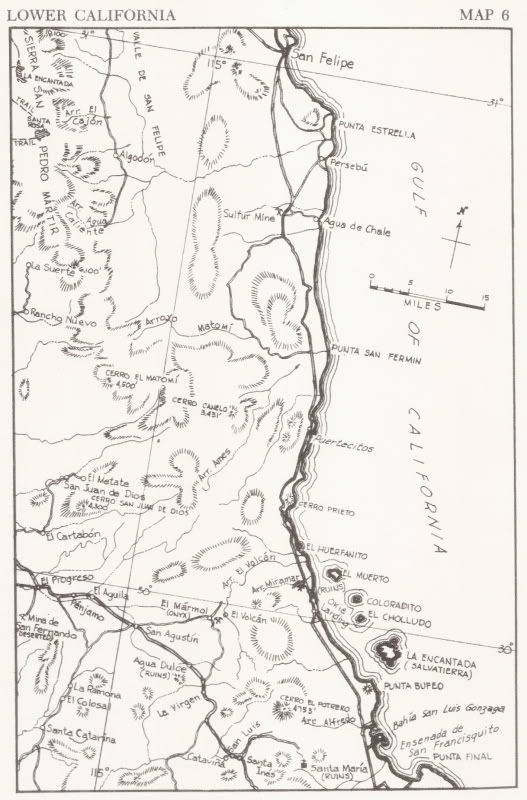
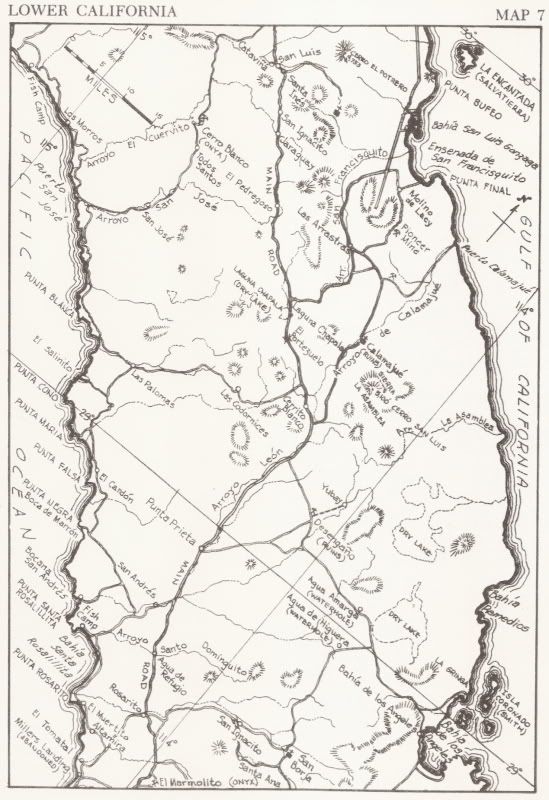
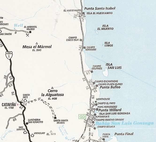
Close up Almanac folding map and AAA map of the area:
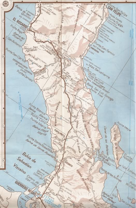
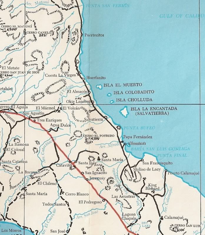
Baja California Guidebook map of 1975:
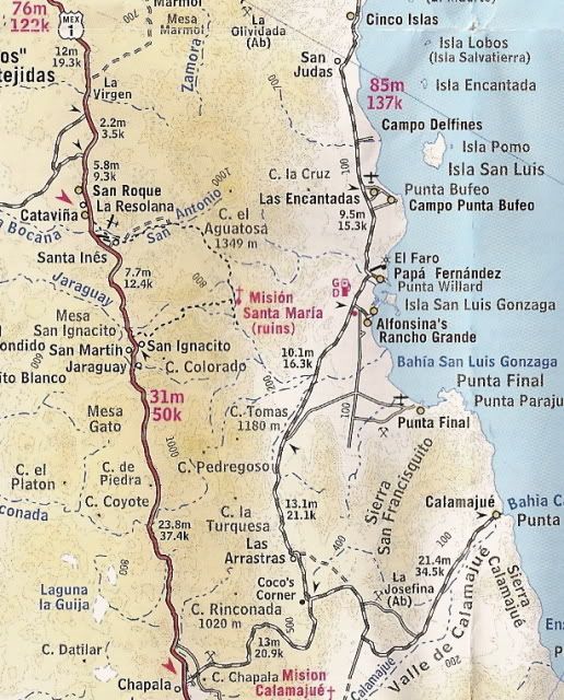
Just for fun, Cliff Cross Guide Map of 1970 (before Highway One was built here):
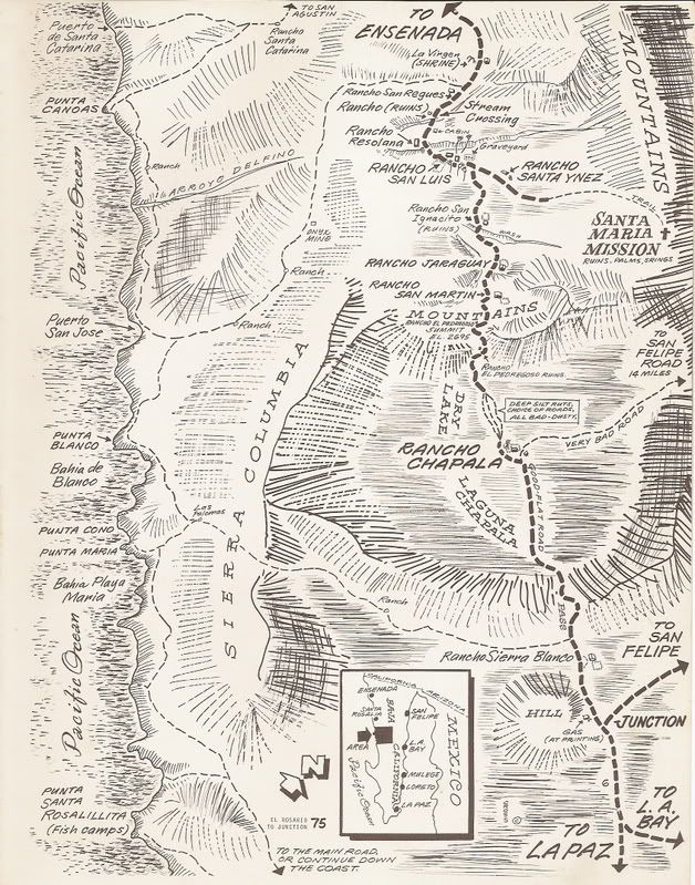
Edit: On the above map, Cataviña is where Rancho Resolana was before the highway was bulldozed through in the summer of 1973.
Once again David K comes thru with the epic maps. DK: check your U2U.
[Edited on 11-7-2011 by David K] |