Originally posted by juanroberts
| Quote: | Originally posted by David K
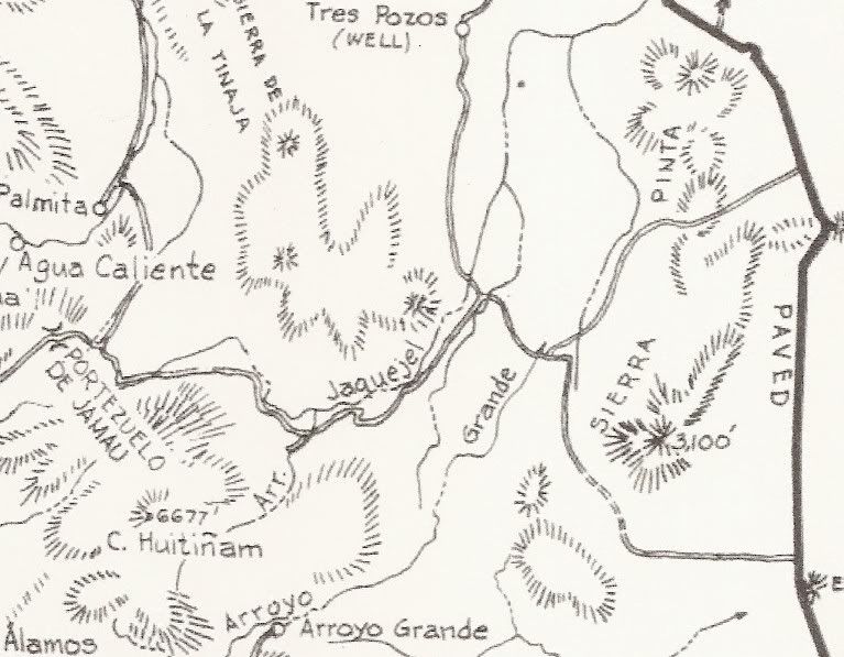
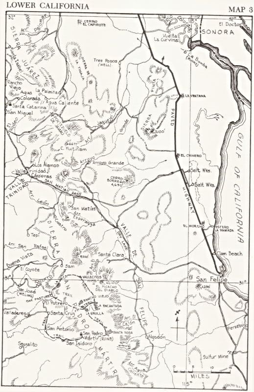
The summit 'Portezuelo de Jamau' and the Pole Line Road (along Arroyo Jaquejel and across Arroyo Grande) on Howard Gulick's 1962 map...
|
A little bit of history:
In an interview for the Los Ancianos MC 50th anniversary, Tom Sarff who has been a member since 1960, said that Bill Steider, a co-founder of the
club, led a group of motorcycle riders and they had to approach the road on both sides to be able to put it together. I think the book's earlier
edition did not have it connecting, and after this intel, the following edition did indeed show it as a passable trail.
Here I am paraphrasing the interview:
...Bill had asked one of the authors if there was something they could do to help. At the time the authors could not find a way to hook up a trail
over the mountains. Bill tried it from West the first time, and they ran into a dry river bed and waterfall area and could not go further. Next time
Bill tried from La Ventana. They were on the old telegraph line from San Felipe to Ensenada from during the war. They followed the stumps of
telephone poles. Finally they found their own tracks on the wash from the previous trip and tied it all together. Bill then wrote and described it to
the authors. Next edition of the book came out and showed it as a complete trail but did not mention Los Ancianos...
This story was mentioned in the context of how the club was into doing adventure/discovery rides, but unfortunately this portion of the interview did
not make the final cut for what turned out to be the club's 50-year history video:
http://www.youtube.com/watch?v=_7l0DzcQB8k
[Edited on 12-22-2011 by juanroberts] |


 Good job! Neal


