Originally posted by Bajatripper
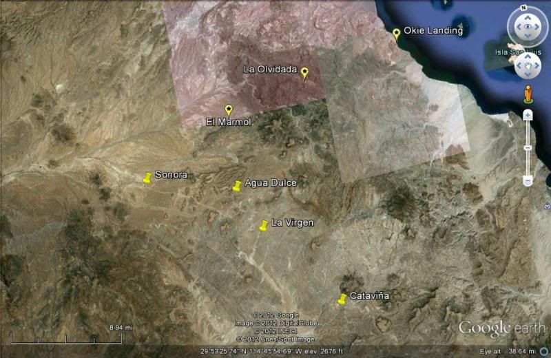
Some advice on whale-watching at San Ignacio Lagoon, should you make it there. If you approach the camps from the north, the price gets cheaper the
further south you get. Last year, we ended up at Campo Cortez, which is the last camp reachable by road (there are some further south, but you have to
contract through a tour company to reach them by boat).
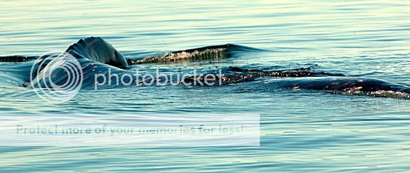
A side benefit of going further south is that the whale-watching area is closer-by, so the boat ride isn't very long. That can make a BIG difference
on windy, choppy days. The camps reached by boats are near enough to the action to see whales from the comfort of folding chairs set up along the
shoreline.
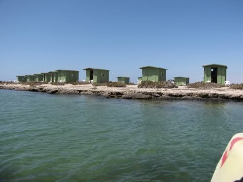
Campo Cortez, from the boat
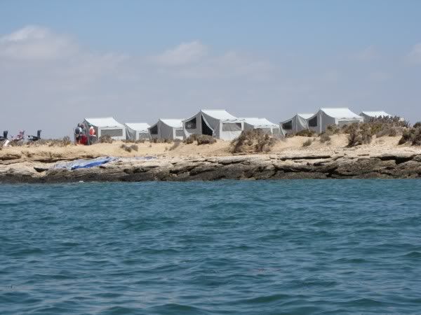
One of several temporary camps where boat tourists get to watch whales from the shore
[Edited on 1-19-2012 by Bajatripper] |