Originally posted by Elizzabizzy
Hola Sweetwater--
I'll have to show your post to my husband, he has a KTM and a couple of years ago he and a buddy did a 5-wk trip to Alaska & Canada, they had a
blast, he'd luv to be making this trip on his KTM!
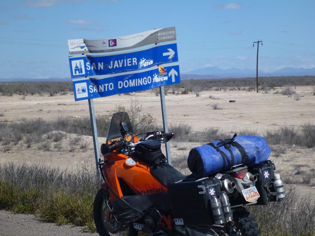
So are you saying that you think we can make it from the the sign in your pic up to San Javier in big heavy rigs pulling trailers? One is a 1-ton
duelly weighs in @ about 8-9K + trailer with inflatable boat. We're in a 3/4 ton van + trailer pulling ATVs & kayaks. I totally understand what
you mean about all the roads being paved, one of our goals is to travel as many dirt roads as possible on this trip. We'd luv to take that route but
don't want to get in trouble. We were thinking of taking the alternate route South of where you're standing on Hwy 53 to Cuidad Insurgentes to Hwy 1
then North to Loreto.
Great pix BTW, appreciate you input and what you think about us making it to San Javier from that road sign.
Muchas gracias,
Elizabeth |