Originally posted by elfbrewery
Just did this trip! WOW! Thanks Kurt for the details. They were very accurate, invaluable and necessary to convince someone to come along with us. We
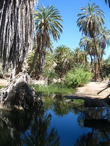
drove out to La Purisima, stayed at Posada del Angel (perfect, 250 pesos per room), ate a little way closer to town at Leti (yes, they are open in the
evening, maybe). Having our own coffee maker and breakfast helped out in the morning.
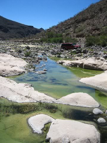
We started up the Paso Hondo road at 8:55a.m. and came out onto the Icehouse Road at 15:18. That included 47 min. for lunch and 27 min to fix someones
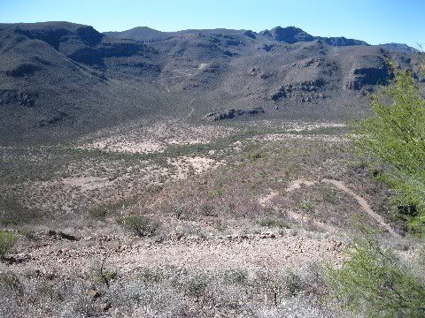
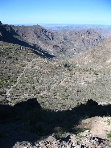
flat tire, as well as other pit stops. Taking our lunch break at the viewpoint gave us a little rest before the gruelling afternoon of fighting rocks,
ruts, sharp switchbacks and utterly steep drops. The trip was no longer an adventure, just a challenge for bragging rights to say we did it. Golly
were we beat when we got home.
I would vote for San Juan de las Pilas as being the better trip, although we all agreed we were glad we did this one.
Thanks again, Kurt. Keep the rubber side down. |

 Got any pictures?