Originally posted by mtgoat666
| Quote: | Originally posted by wilderone
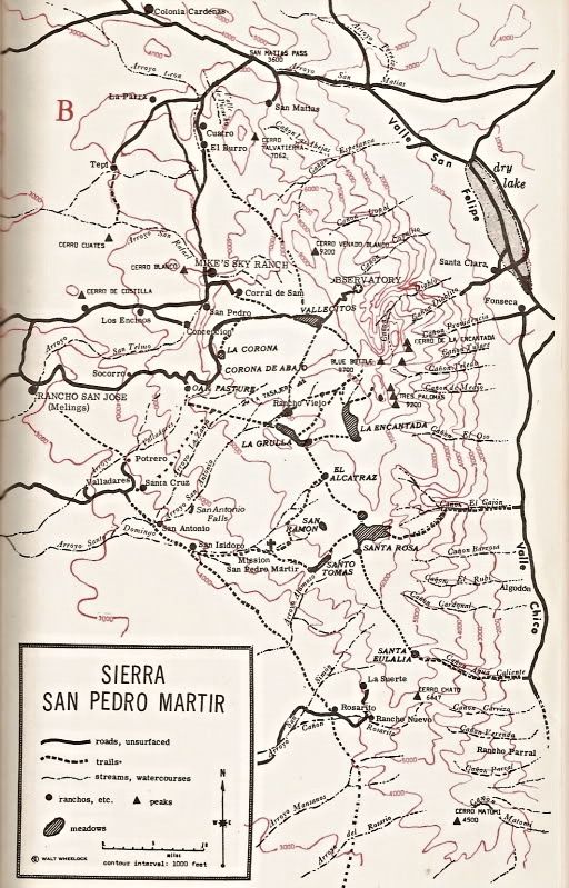
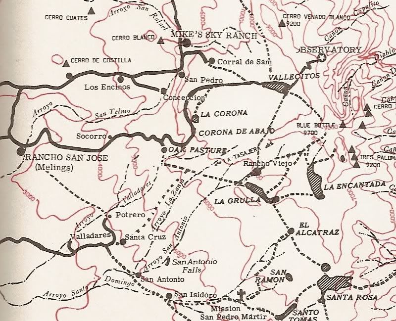
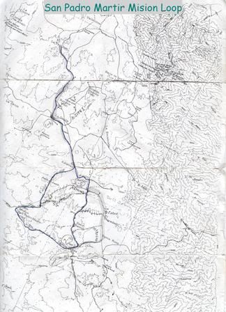
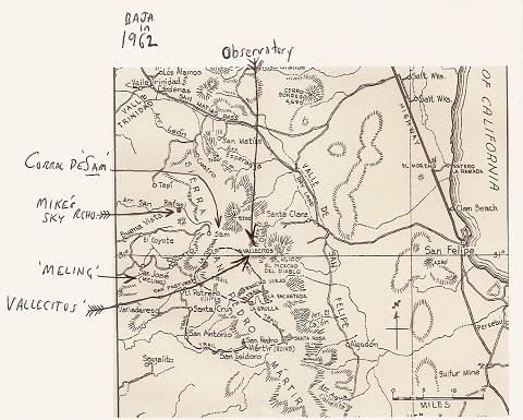
There is a short book called Camping and Climbing in Baja by John
Robinson. There are a cople maps; the routes are explained. Says there are Indian trails, cattleman trails and that there is no reason to make
recreational trails. Best is to be guided by the info you have, and know how to use map and compass and try to get a decent topo. I made a pdf of
one of the maps that shows the trails, but I can't figure out how to post it here. It's an older publication, but probably the area hasn't changed
much except for the main road. I'll make copies of the pertinent pages and mail them to you if you'd like. |
robinson's book is good. schaad's map is better and more useful for navigating. get 'em both.
yes, watch for snakes, but that's same as anywhere in mtns of alta or baja |