Originally posted by Bob H
| Quote: | Originally posted by David K
| Quote: | Originally posted by Ken Cooke
| Quote: | Originally posted by David K
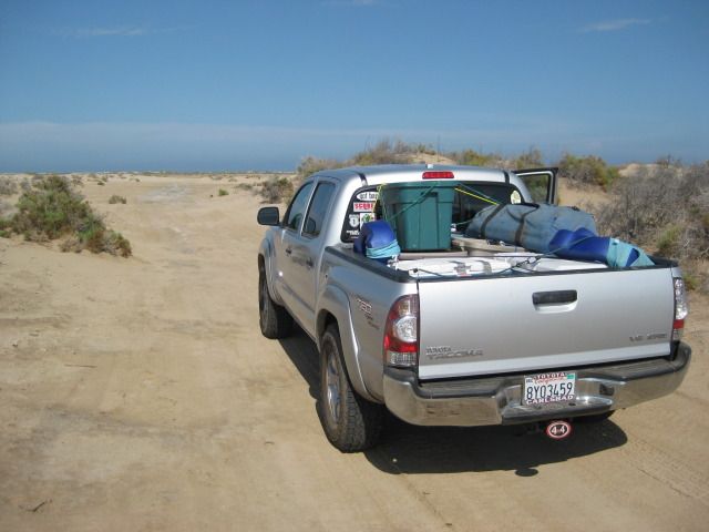
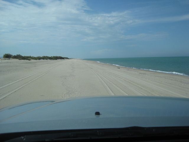
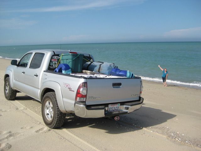
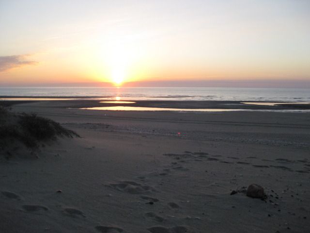
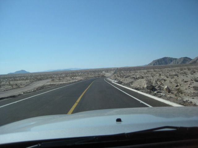
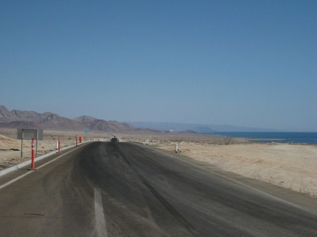
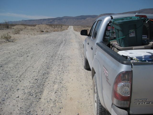
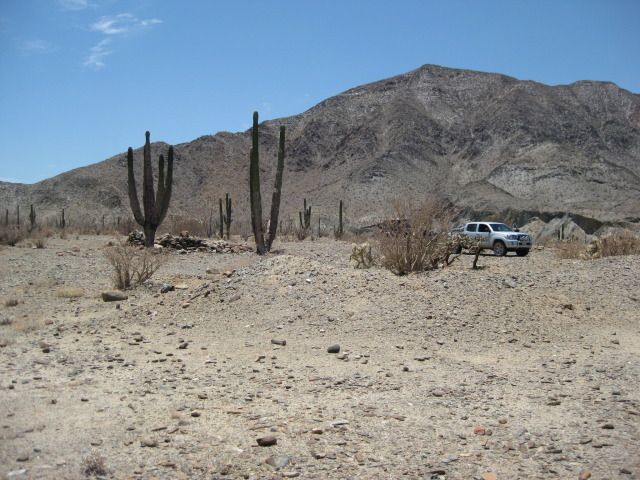
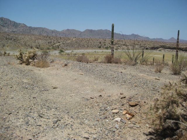
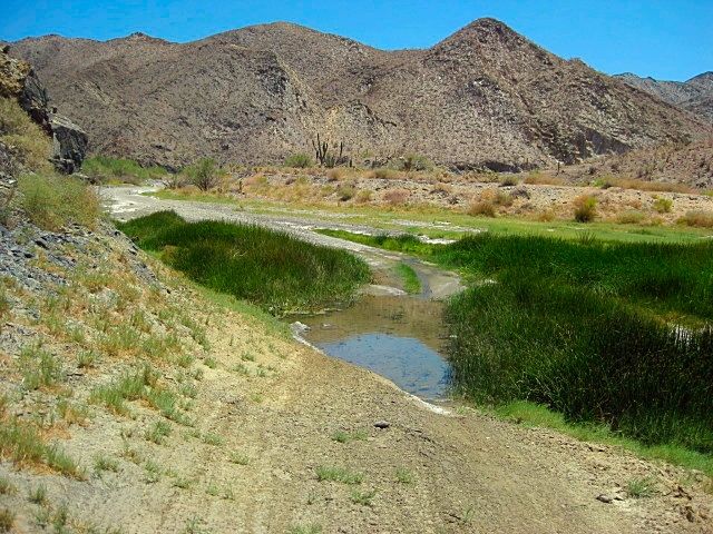
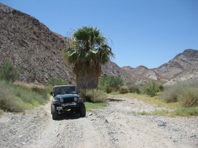
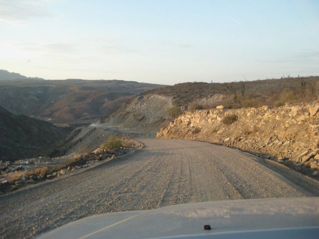
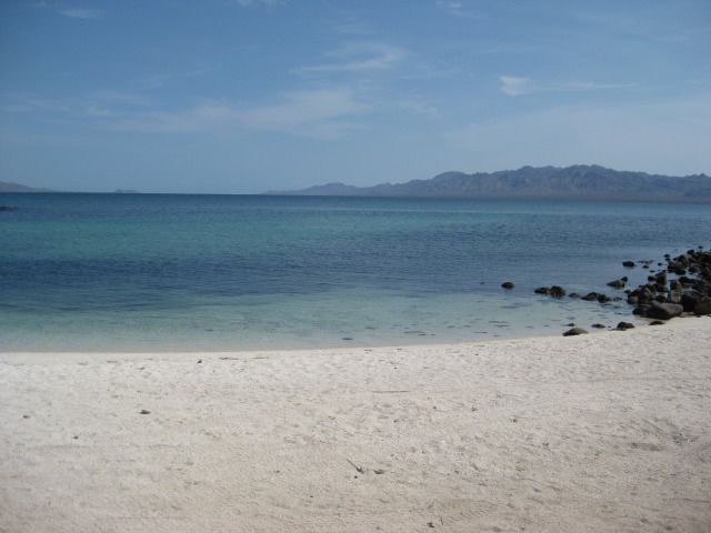
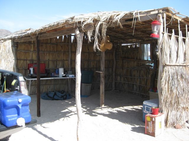
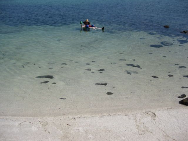
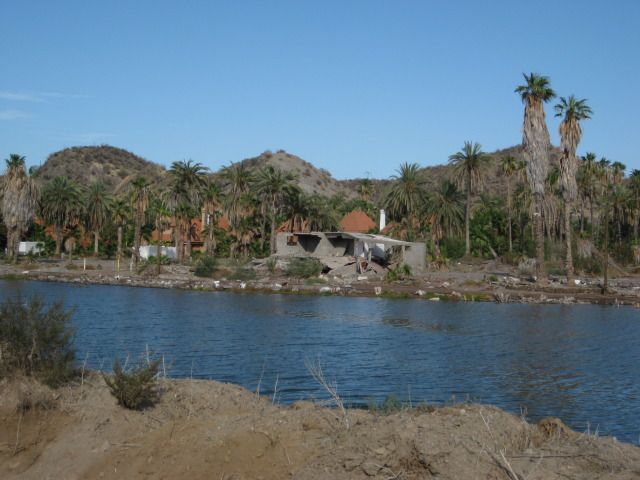
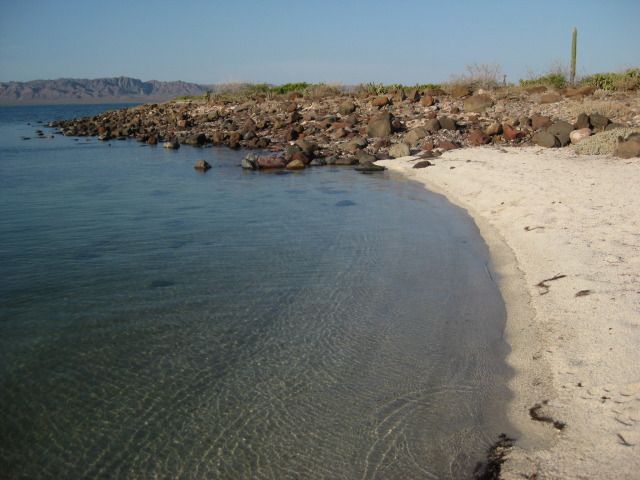
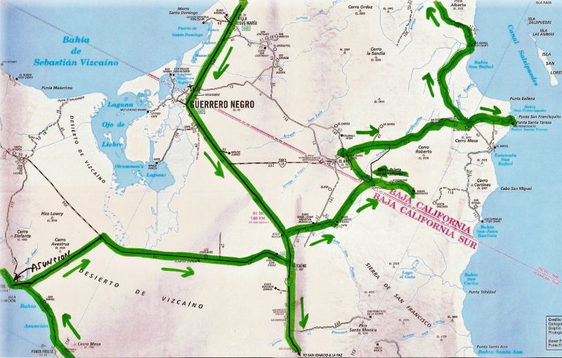
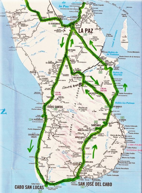
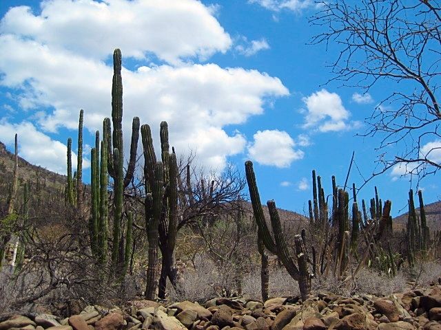
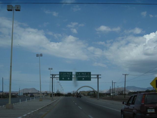
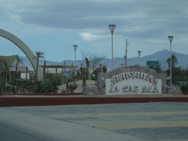
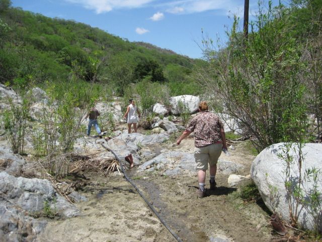
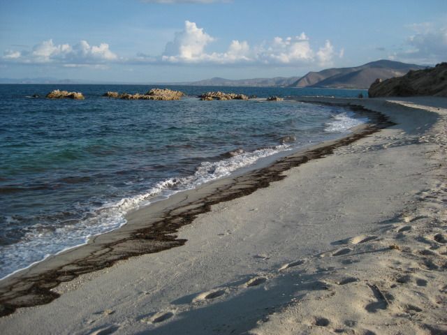
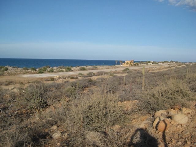
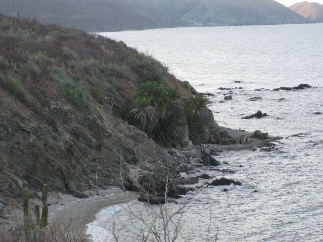
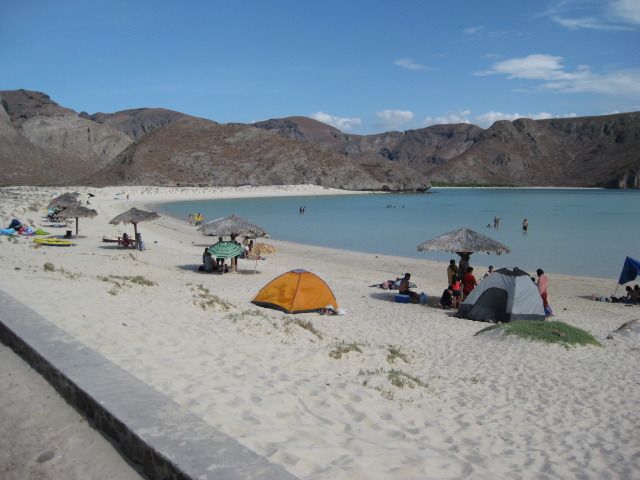
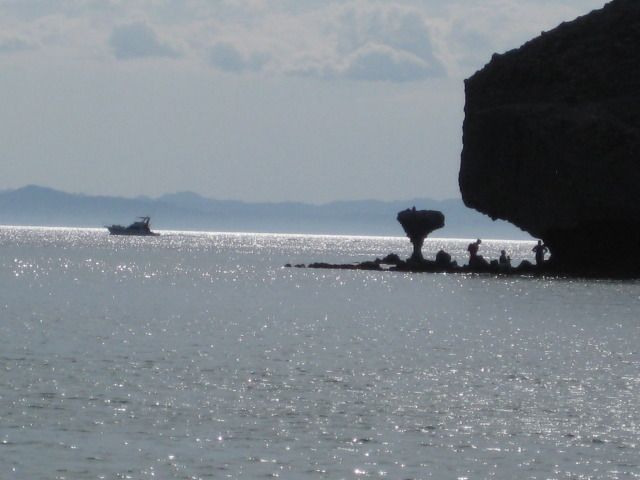
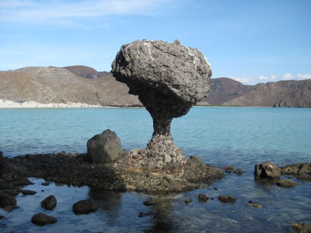
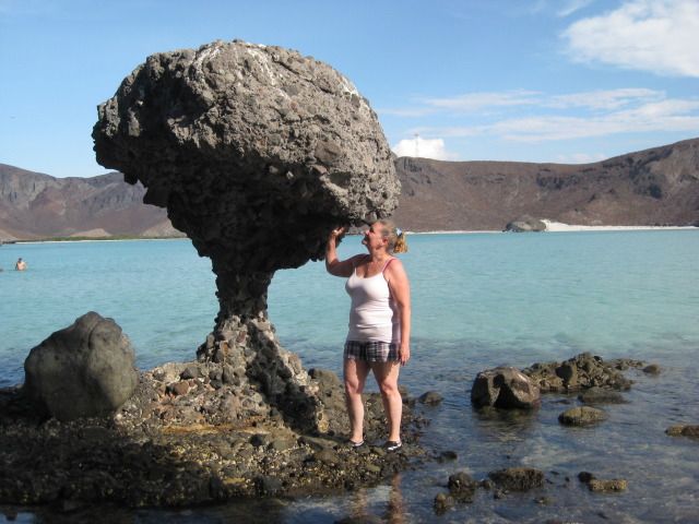
On the coast, San Felipe to La Paz, the daytime highs were no more than 95ºF anytime I looked at the thermometer in my truck. The evenings were only
slightly 'cooler', but I never went to my truck to check. |
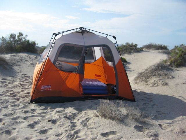
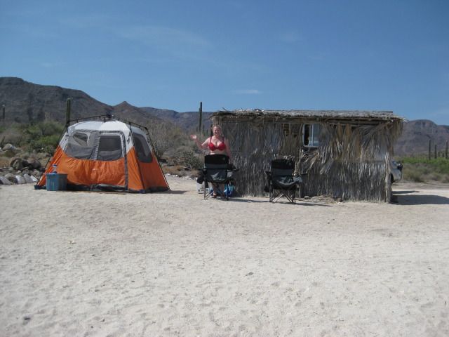
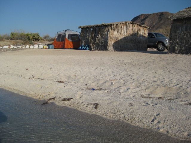
So, how did you sleep at night???  Portable, Solar Tent Air Conditioner??? Portable, Solar Tent Air Conditioner???
|
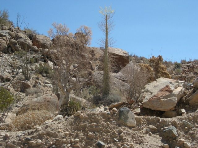
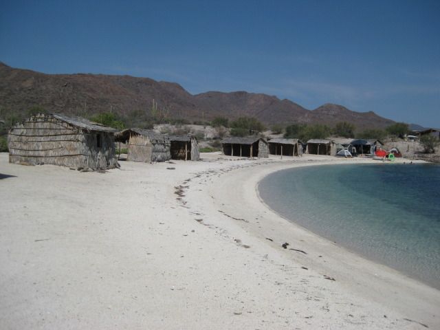
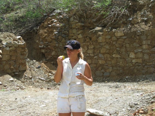
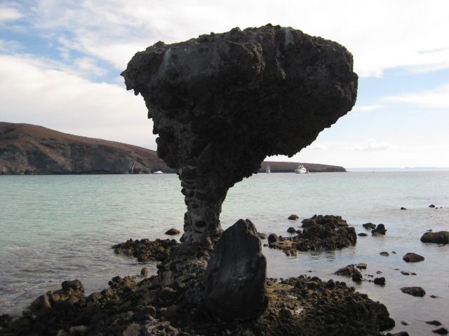
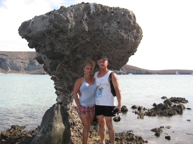
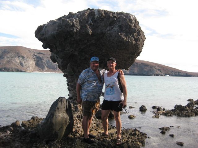
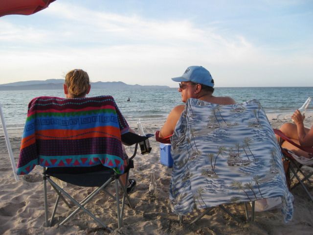
We acclimate to the climate quite quickly. The beauty of Baja over-rides all! We actually slept great in the new tent... There was a slight breeze
that allowed easy sleeping and eliminated the mugginess. |
David, where did you buy your tent and what is the make and model number, etc. |