Originally posted by bigmike58
| Quote: | Originally posted by Bob and Susan
15 feet or deeper....hahha it was to the bottom of the bridge...
nothing would help with water power like that
we had a storm a week ago in the mountains (not in the town) that washed out the little road under the bridge
all fixed now though
for months now workers have been hauling out fallen trees and taking them into the river valley for disposal [/
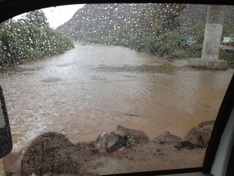
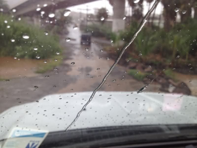
Where on earth do you get your info? The water never even came over the lower road, let alone "wash it out" as you say. Please get your facts straight
before posting crappola. I was there and drove that road at least 3 times everyday. Here is a pic of the river at it's highest during/after the storms
least week, same with the so called "washed out road".
Whoops! Conflicting eyewitness reports. Willy seems to have tipped it 2-1 in favor of Bob and Susan's report. Is that a final?
[Edited on 8-27-2012 by LancairDriver] |
|


 Maybe it's a 'secret project' to
bring the town to the 'Malecon to nowhere'
Maybe it's a 'secret project' to
bring the town to the 'Malecon to nowhere'

 ...
...