Originally posted by Barry A.
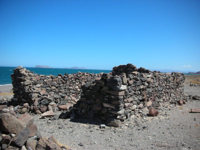
My Mom and Aunt camped at those ruins many times back in the 'early 50' thru the early '70's and I have many slides of them taken by them. There also
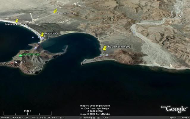
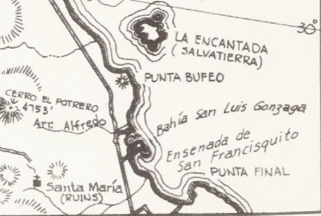
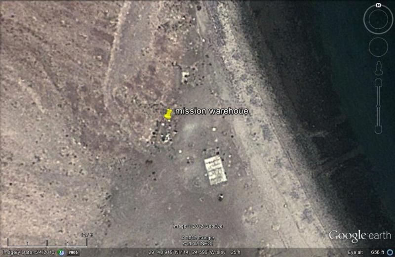
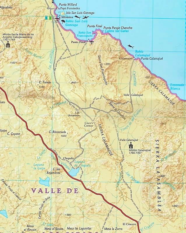
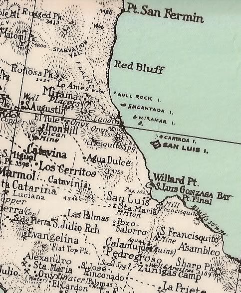
is the ruins of an old fishcamp building nearby and closer to the water, as David K indicates. There was/is another abandoned Fish Camp north of the
subject "ruins" in a shallow arroyo, with big cliffs and a large hill between the two areas, cutting off any easy access between them. I have also
camped there several times, but it is separate from the possible Franciscan ruins, but they sure do exist.
Lots of interesting ruins, that few folks ever get to, in that area.
Barry |