Originally posted by TW
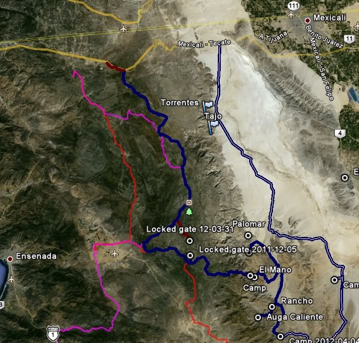
Many of the trails have locked gates especially north of hwy 3 as the owners don't like the noise of the vehicles coming thru and also because some
people don't close the gates after going thru and that lets the cattle out. Just remember if the sign says no trespassing, don't. If a gate is shut
make sure you close it after going thru. If you see a rancher or farmer on the trail slow down maybe stop and chat a little, you can always ask how
the trail ahead is. Above all else don't leave any trash on the trail. Do a trip report for us and let us know how it went and if you ran into any
problems or locked gates. |