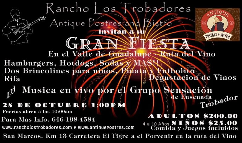
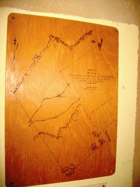
Sunday, Oct. 28, 2012 I was invited by a Nomad lurker to his Gran Fiesta in the Guadalupe Wine Valley... I posted the invite and map in the Nomad
Events forum last week:
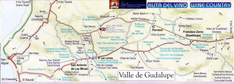
The event was easy to find on the new paved road from Guadalupe (Francisco Zarco) to El Tigre/ La Mision (Hwy. 1), just a bit past the Bibayoff
Winery, 8 miles from Hwy. 3.
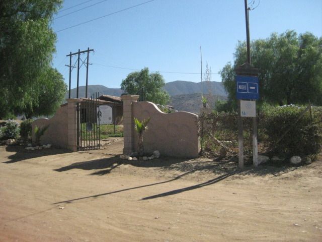
On the way there, we stopped to see what was new at the Guadalupe mission site (we heard about a new museum) and we had a better than expected
experience there!
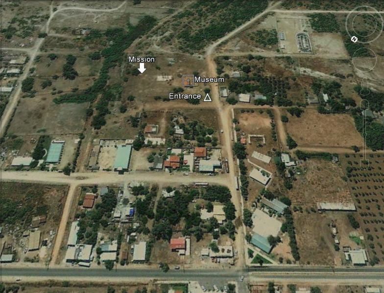
To find the mission, go approx. 1 mile in through Francisco Zarco (Guadalupe) from Hwy. 3 (at the Pemex) on the paved road and come to a 4 way stop
where the street ahead becomes a divided street with a planter in the center (a school is on the southeast corner.. Turn left, and the entrance to the
mission museum is ahead on the left, on the edge of the wide arroyo.
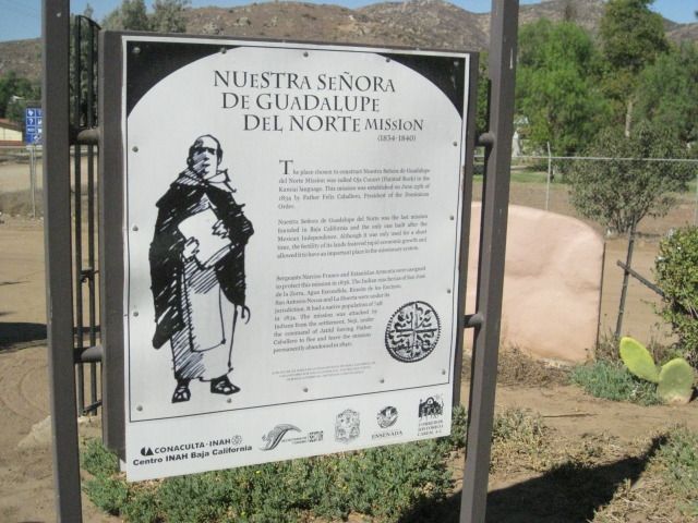
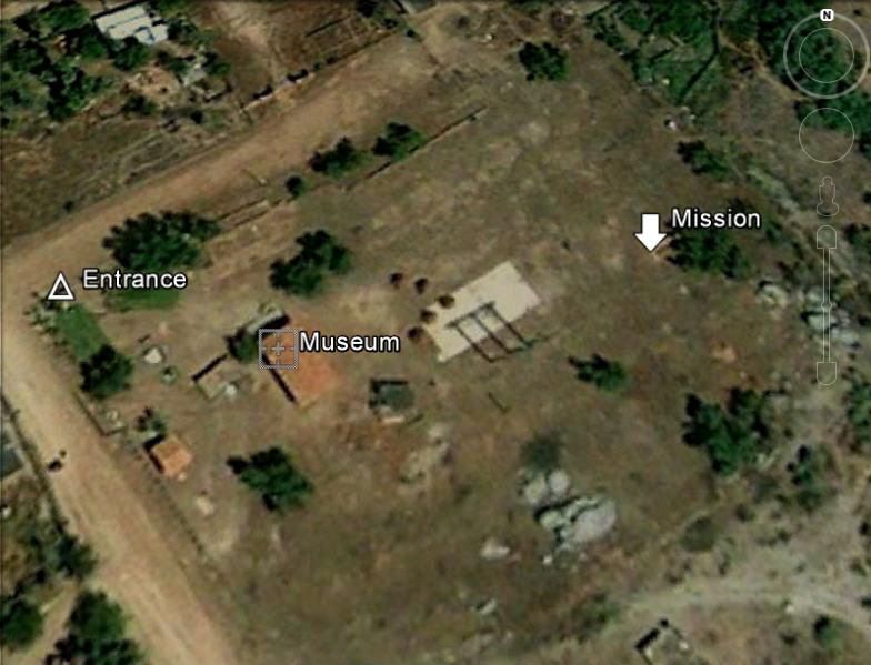
Entrance to mission museum.
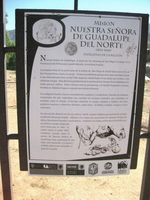
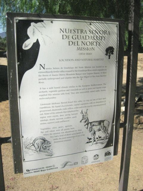
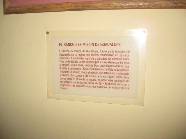
INAH is Mexico's institute of anthropology and history.
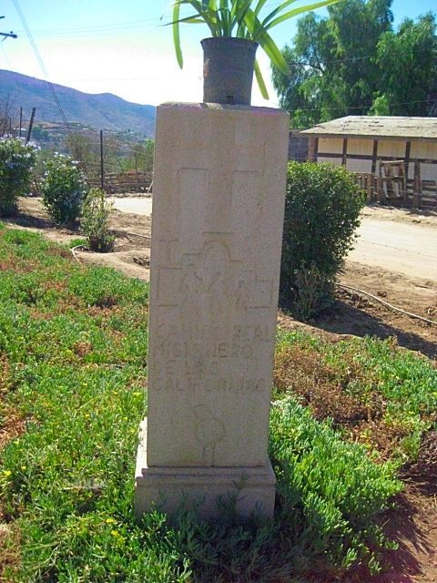
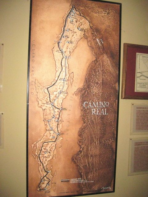
Being a mission, the trail (road) to it was an EL CAMINO REAL (there were many 'Royal Roads')
Info signs were in English and Spanish
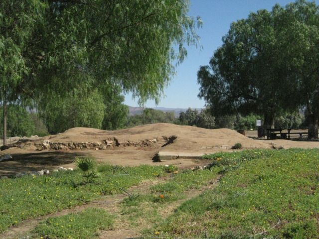
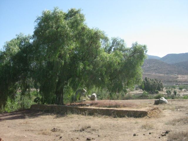
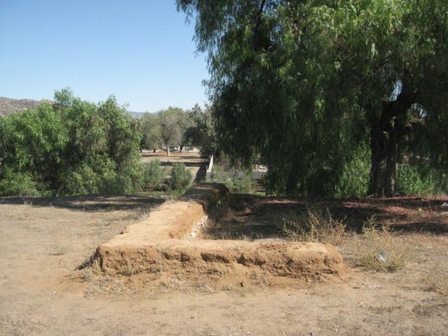
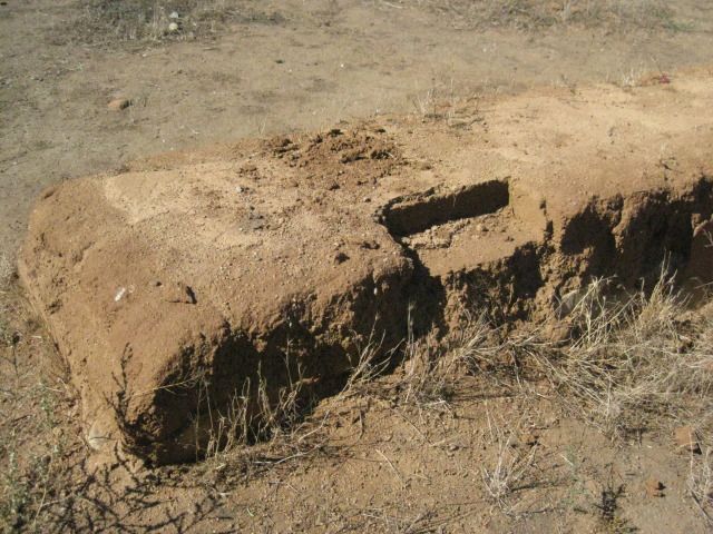
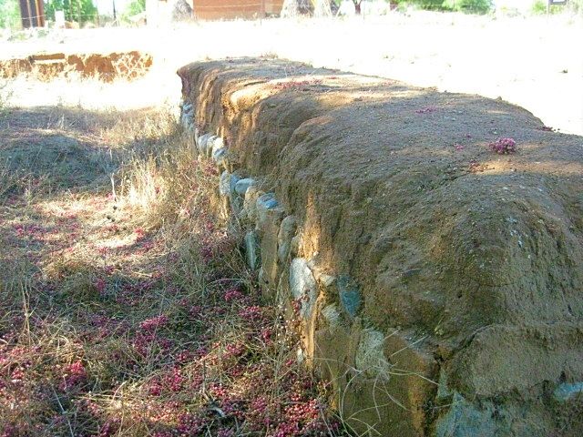
From the 1920's to 1970, a military base was on this property and this wall and other foundations some have believed to be of the mission were
actually from the base here.
The above two photos are base ruins, not the mission.
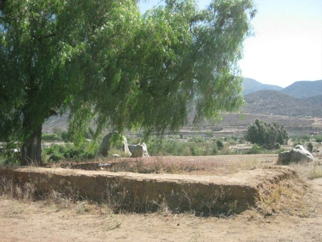
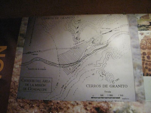
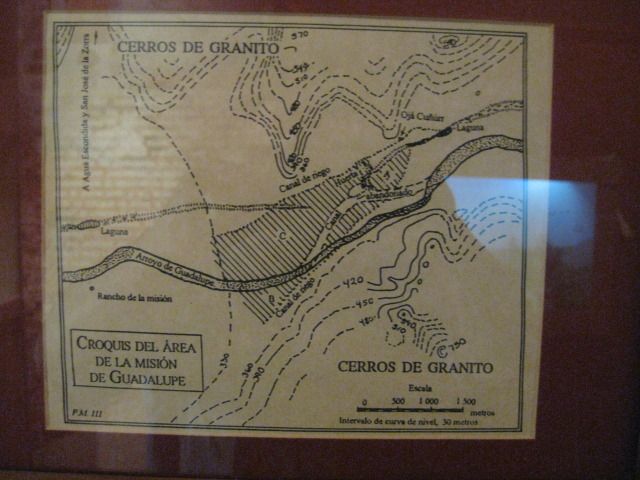
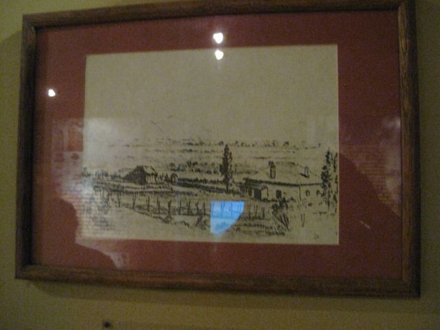
HERE's THE MISSION:
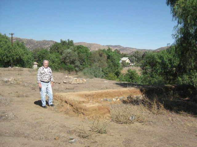
Co-author Max Kurillo at the last California mission (1834-1840), #48 in our book... and the next printing will include these photos, the first
published of the excavated foundation of the mission (that we know of)!
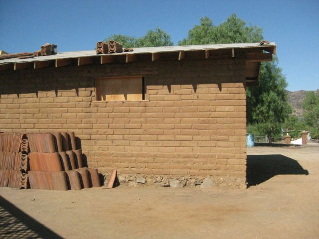
This part of the museum is not yet finished, but it is built in the same style as the mission was... adobe on a rock foundation.
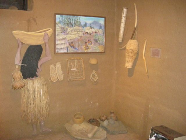
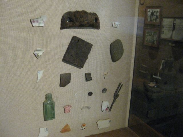
A young lady with a baby was our guide and she was running the museum that day as well... While it was all in Spanish, fortunately it was all
understandable to me. She did a great job, and while not requested, we left her a tip for taking time to point out the many things inside and out at
the mission museum.
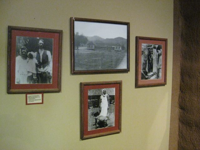
That was all in the little museum. I look forward to when the bigger building opens with musch more to show on the history of Guadalupe Valley...
Native people, Mission-era, Mexican rancho era, Russian era, modern era.
In the next part I will show you the photos at the Gran Fiesta and the border signs coming back north, and more! Stay Tuned!!
PART 2
David K - 10-30-2012 at 08:11 AM
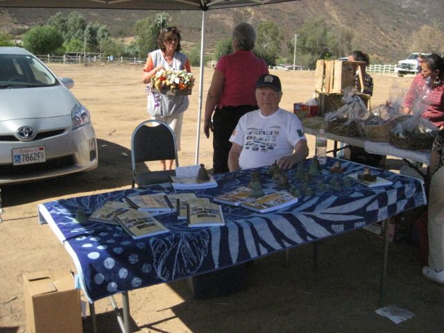
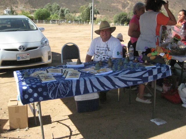
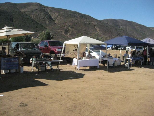
We got to the Gran Fiesta about 30 min. before it began right when other vendors were setting up. Elias provided us with a table, chairs and shade...
Gracias!
Max Kurillo at our table with our book, his book on the El Camino Real bells, and some old bells to sell.
That's David Kier (me)...
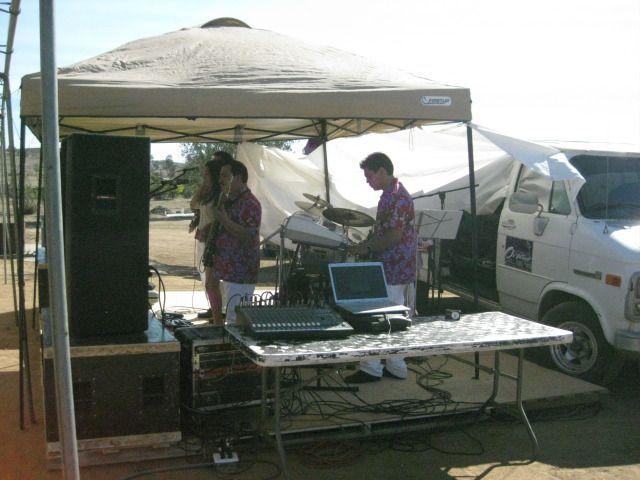
The band played nice music and not overly amped, either!
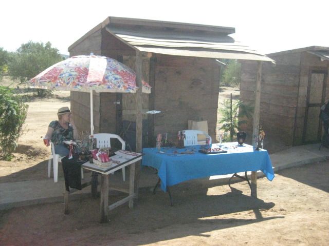
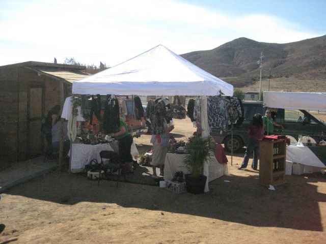
The vendor tables... arts and craftes, wine, and more!
This is where we were... it was the first fiesta put on by Elias, and I think we will come back again another time! Specially since our book is going
to be available in Spanish, soon! http://oldmissions.com
In the final part of this trip report, I will show you all the signs pointing the way to the Tecate border, plus a parade in Tecate we saw, as we
waited in line!
[Edited on 10-30-2012 by David K]jadams - 10-30-2012 at 08:16 AM
great photos, bye the way I like your mission bookDavid K - 10-30-2012 at 04:47 PM
Quote:
Originally posted by jadams
great photos, bye the way I like your mission book
Thank you... tell your friends about it!
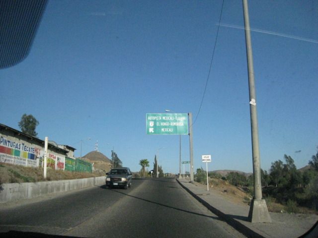
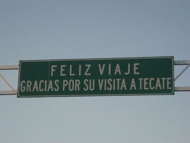
Finding the Tecate Border, is EASY!
David K - 10-30-2012 at 04:59 PM
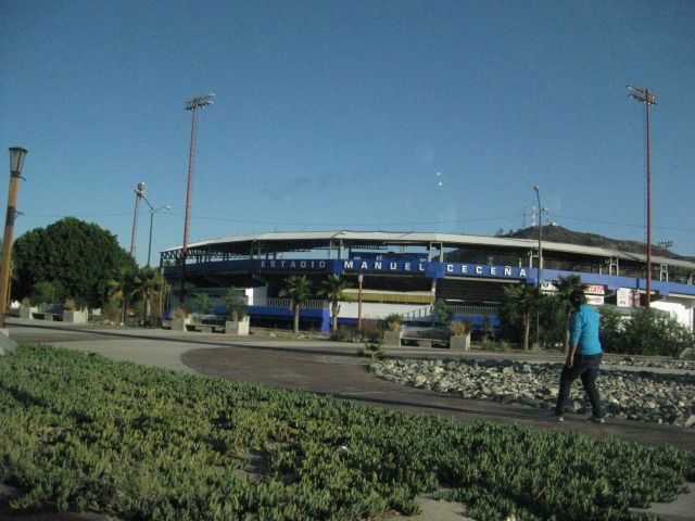
If you come back north from Ensenada (Hwy. 3), here are the signs you will see that point the way to the border entrance road (it is east of downtown
on the free Mexicali road Hwy. 2):
The baseball park is passed on your right.
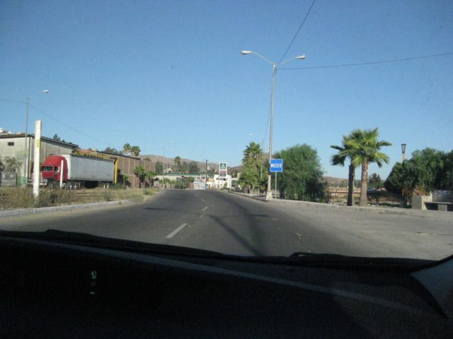
Now ready to go east on Hwy. 2 just a short distance.
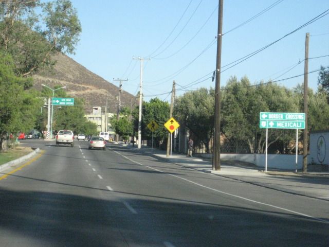
Normally you would turn left here, however note the line of cars pointing towards you as they are in line, so proceed ahead and make a U-turn after
you find the end of the line.
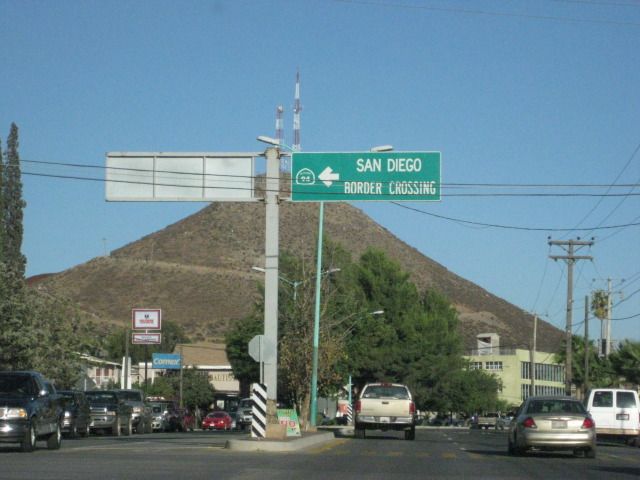
This is the sign if you are coming from Mexicali or San Felipe, as it is facing east for westbound cars.
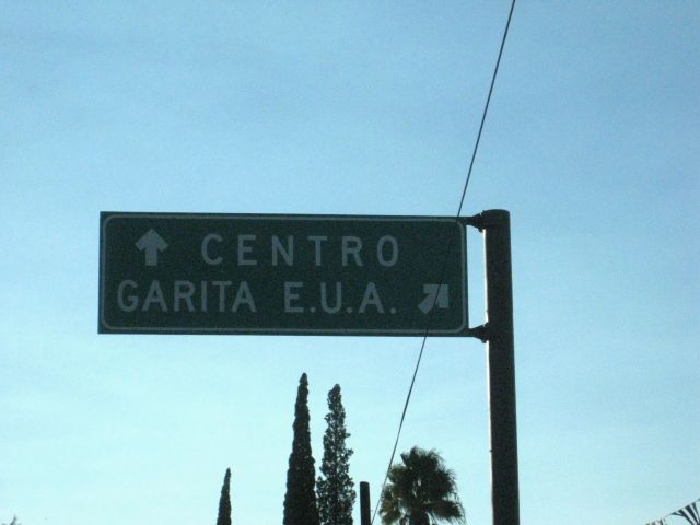
This is a new sign over the road to the U.S.A. border (Garita E.U.A.).
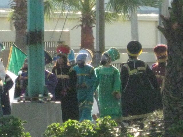
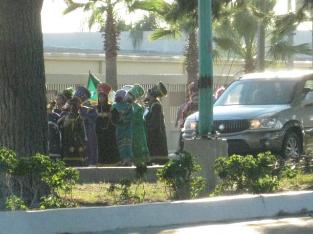
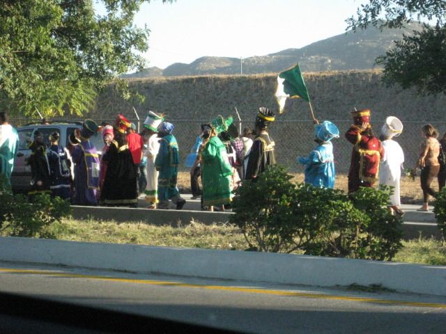
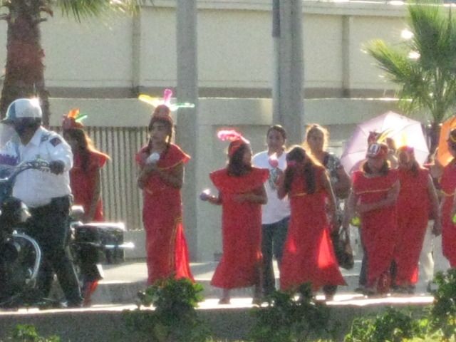
A parade as we wait in the border line
David K - 10-30-2012 at 05:03 PM
TMW - 10-31-2012 at 11:57 AM
Excellent, thanks.David K - 10-31-2012 at 04:49 PM
De Nada Tom! I just love being in Baja!David K - 11-1-2012 at 08:32 AM
Here is a photo taken in 1949 by Marquis McDonald at the Guadalupe mission site:
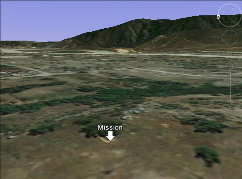
Here is Google Earth at the site:
[Edited on 11-1-2012 by David K]scouse - 11-1-2012 at 09:16 AM
All good stuff David. Love the history and the photos.
Guadalupe Mission from space!
David K - 11-1-2012 at 09:31 AM
Images with north at the top, then oriented to the southeast as you would approach the site by car...