Originally posted by David K
| Quote: | Originally posted by ncampion
Great info, thanks. Do you bring a secretary along on your trips to monitor mileage, gas usage etc?? I'm never that organized.
|
Yup, she is so sweet that I married her! 
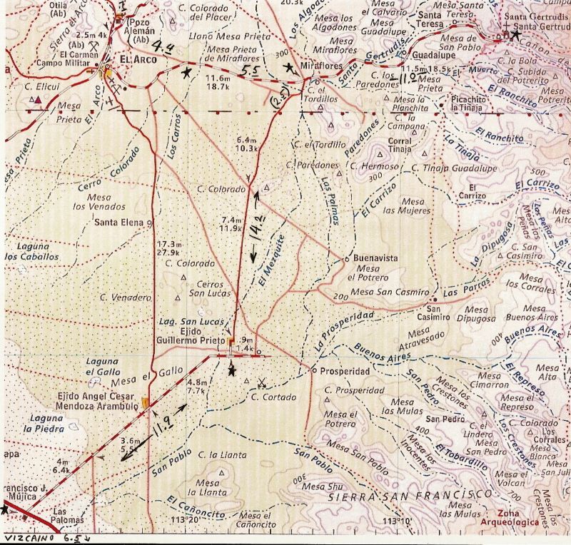
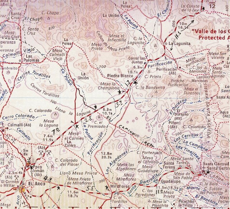
Writing trip reports is fun for me, and keeps past trip alive long after they are over... so I almost always have a notebook along and record data on
my Baja trips: mileages between points, km. markers, gasoline fill ups, time in the border line, etc. |