BajaNomad

Gonzaga Bay to Chapala current conditions?

gorgekiter - 11-21-2012 at 01:31 PM

I'm headed back south in December and looking for any updates. I drove this last year in my sprinter RV- the washboards were rough- slow going the 55 miles- but I love traveling that route.

Any word on whether the road has been graded recently? 10 miles an hour for 6 hours was noisy and painful. I might do it again...

thanks- Chris

ElCap - 11-21-2012 at 01:40 PM

Just drove northbound on it three days ago (in a 4wd Tacoma). It's certainly doable in a Sprinter, but should rattle you a bit - the usuale washboard sections and a few rocky sections too. The Baja 1000 course used the northern section to Coco's, and then lots of chase truck traffic on the remaining part out to Mex 1.

David K - 11-21-2012 at 03:21 PM

45 unpaved miles in 2012 vs. 51 in 2011... will be down to 39 miles soon.

gorgekiter - 11-25-2012 at 12:22 PM

thanks all! 4.5 hours of rattling and risk of blown tires on a 10,000 lb rig or the slow route on 1- just glad I have that choice to make!

redhilltown - 12-8-2012 at 01:07 AM

Easy for me to say but rattle and risk it!! You'll have the rest of your life on this road on easy asphalt but not many more days of the old style Gonzaga!

cliffh - 12-8-2012 at 09:23 AM

??? Was that a sprinter 5th wheel, have been thinking of going that way through San Felipe on to Havasu in may. I have 36ft Cougar by Keystone. Cliff

David K - 12-8-2012 at 05:22 PM

Seriously, RVs or travel trailers/ 5th wheels will not enjoy the 35/45 jarring, rough miles from Chapala to Gonzaga or on to the new highway.

[Edited on 12-9-2012 by David K]

rts551 - 12-8-2012 at 05:30 PM

Quote:
Originally posted by David K
Seriously, RVs or travel trailers/ 5th wheels will not enjoy the 35/45 jarring, rough miles from Chapala to Gonzaga or on the the new highway.


and why not the new highway. It was built for trucks!

David K - 12-8-2012 at 09:23 PM

Quote:
Originally posted by rts551
Quote:
Originally posted by David K
Seriously, RVs or travel trailers/ 5th wheels will not enjoy the 35/45 jarring, rough miles from Chapala to Gonzaga or on to the the new highway.


and why not the new highway. It was built for trucks!


Obviously I left out the word to... I added it so it is looking correct now.

TMW - 12-9-2012 at 11:15 AM

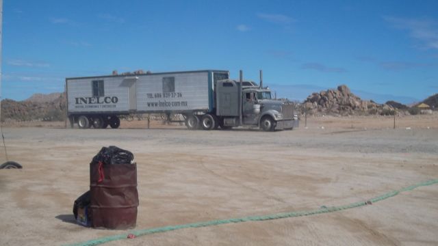
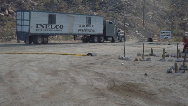
That road is not so bad, even semi's with trailers love it as they cruise pass Cocos.


redhilltown - 12-12-2012 at 12:35 AM

I don't know...big rigs and Cocos??? Just doesn't seem right...like tequila and milk.

Oh wait...tequila and anything is ok. Sorry. ;D

David K - 12-12-2012 at 12:38 AM

The route of the new highway will be about a mile west of Coco's, along the older road to Chapala and El Camino Real... Coco originally thought he would be on the highway, but the surveyors changed that.

BOLARNR - 12-12-2012 at 03:03 AM

Just move the stakes, who's gonna know, who's gonna care.:wow:

David K - 12-12-2012 at 05:27 PM

Move them where?

BOLARNR - 12-14-2012 at 06:36 AM

Maybe closer to Coco's. Or would it be easier to move Coco closer to the new road. Kinda like a Petro Diner with toilets, for seating.

David K - 12-14-2012 at 08:18 AM

:lol:

gorgekiter - 12-16-2012 at 11:06 AM

CliffH- it's a Sprinter van, not trailer. the road is amazing- and I'm still undecided- on that note though, I don't recommend pulling a trailer- there were some big potholes that take some deft maneuvering- could lose some part with the trailer.

Traveling in an RV over severe washboard is frustratingly slow and extremely noisy- cabinets rattling and popping open, some latches actually broke!

Who knows- stuck here in the NW waiting out a snowstorm- cross on the 22nd- can't wait to get back to the Baja!

David K - 12-16-2012 at 11:13 AM

Based on the input here, are you going down the 5 and endure 40 miles (+/-) of washboard and rocks to otherwise see a beautiful coast, Gonzaga Bay, Coco's Corner...

OR

are you going down the 1, and endure crossing Ensenada, a dozen and a half farm towns with slow traffic and topes, but have all paved roads...

???

Whatever you do, take it easy, have a great trip, and post a photo-filled report when you get back!

Marc - 12-18-2012 at 10:39 AM

Quote:
Originally posted by David K
The route of the new highway will be about a mile west of Coco's, along the older road to Chapala and El Camino Real... Coco originally thought he would be on the highway, but the surveyors changed that.


Coco (or I) will probably not live long enough to see that.

David K - 12-18-2012 at 12:45 PM

Quote:
Originally posted by Marc
Quote:
Originally posted by David K
The route of the new highway will be about a mile west of Coco's, along the older road to Chapala and El Camino Real... Coco originally thought he would be on the highway, but the surveyors changed that.


Coco (or I) will probably not live long enough to see that.


Because it is after the end of the Maya Calendar?

They paved the transpeninsular road after talking about it for 30 years... and while ultra slow at 10 kms. per year, they have been progressing from Puertecitos on this project for almost 6 years straight. Gonzaga to Coco's is not very challenging terrain compared to that seen south of Puertecitos. One huge bridge across Arroyo Santa Maria may take a year to build?

Anyone wishing to hike the Camino Real from Las Arrastras south to behind Coco's and where it crosses the road to Chapala should do so soon, as the new highway is using that route, and it will obliterate any trace of the mission road, most likely.:light: