Originally posted by Barry A.
| Quote: | Originally posted by BAJACAT
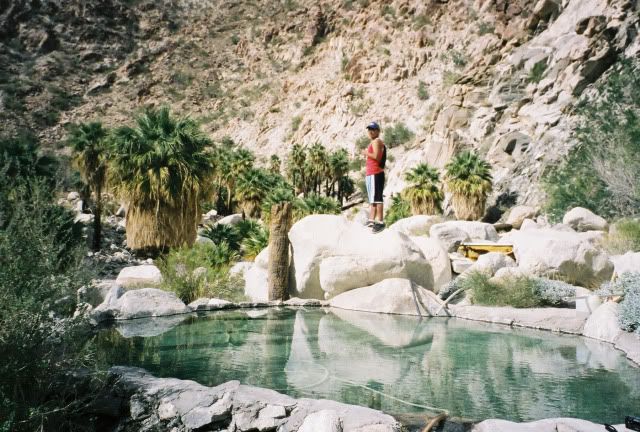
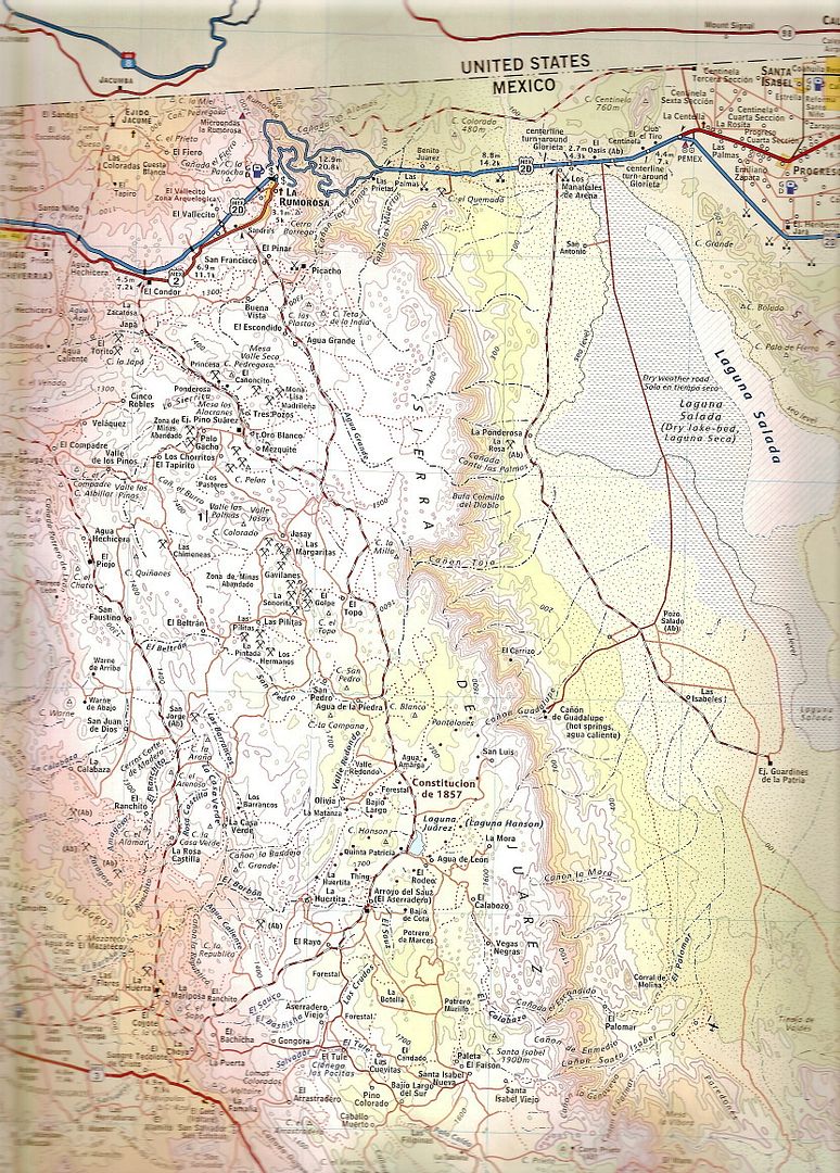
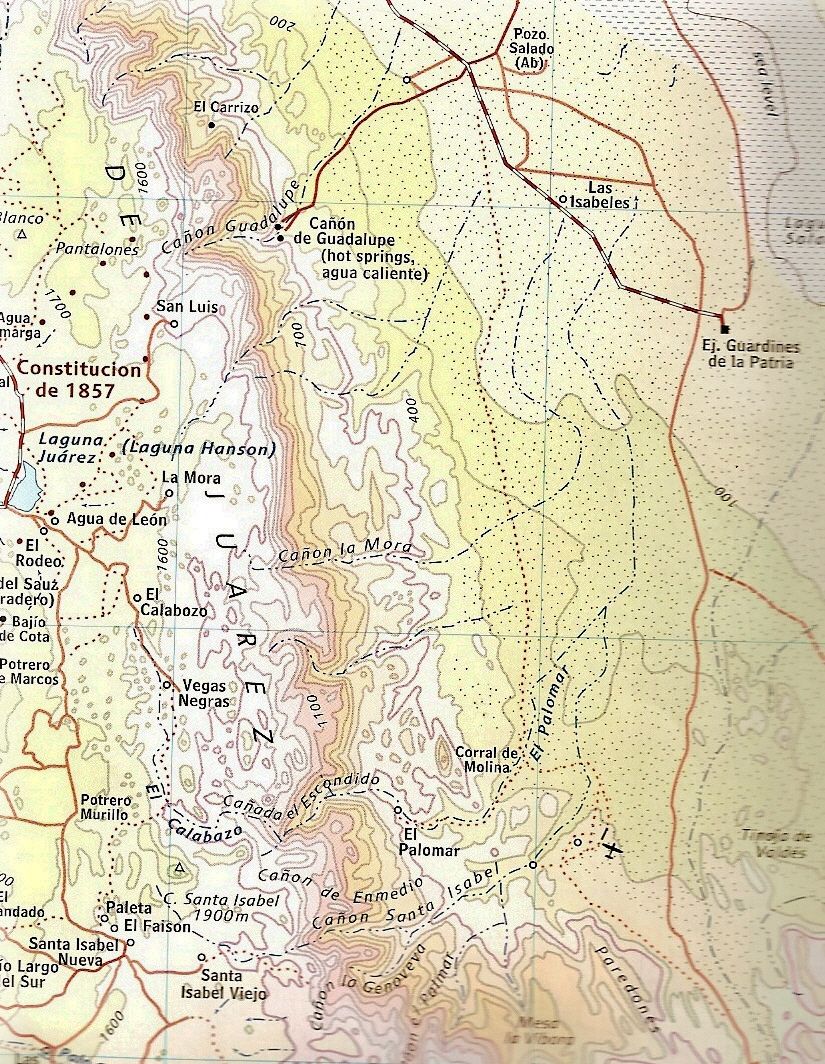
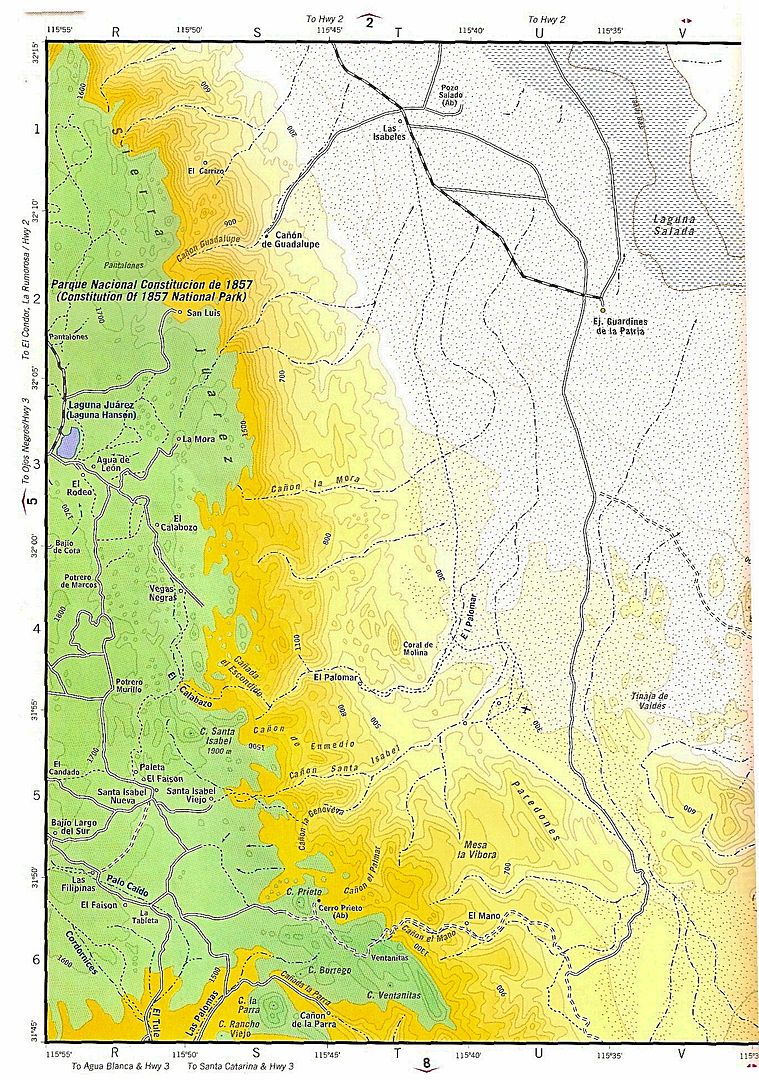
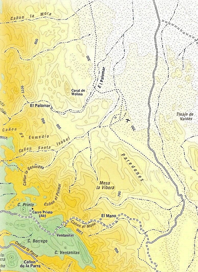
actually this place is 30 miles south of Guadalupe canyon..Its call Palomar canyon, with hot springs, but the water is nos as hot as Guadalupe
Canyon.'near this place is a trail that takes you from Laguna salada to Laguna Hanson... |
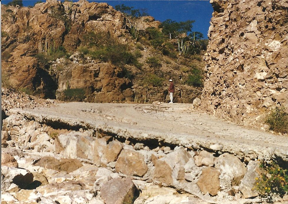
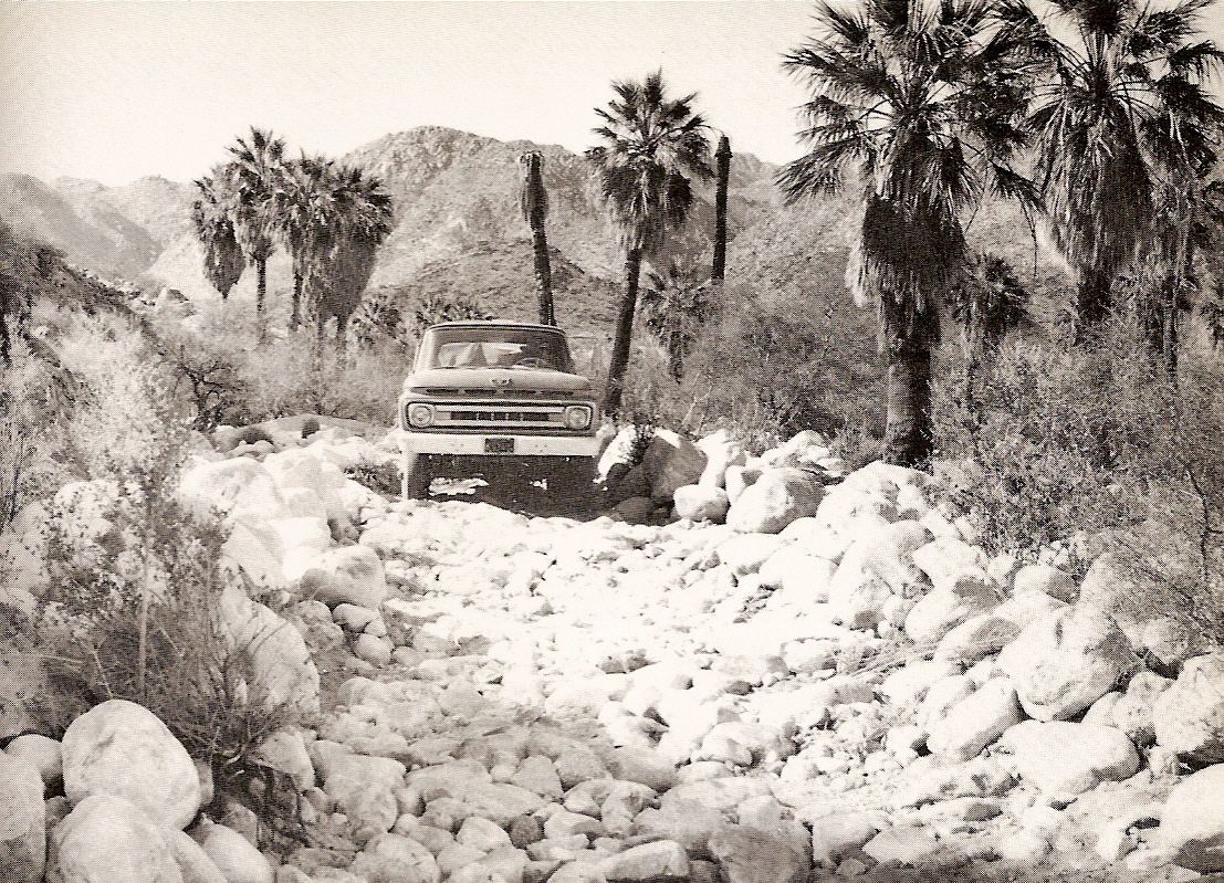
In 1958 I drove up Palomar Canyon in a 2-wheel drive ton and a half flatbed truck full of Sierra Club'ers & their camp gear to a Rancho in a huge
palm grove well up the canyon-----on a really good dirt road---------that road later washed out, and I was never able to return to that Rancho tho I
tried several times over the later years.
Palomar Canyon is a jewel, and huge!!!
Barry |