BajaNomad

Municipalities of Baja California

TMW - 1-24-2013 at 09:20 PM

In case you did not know.

http://en.wikipedia.org/wiki/Municipalities_of_Baja_Californ...


BajaNomad - 1-24-2013 at 09:27 PM

And Baja California Sur while we're at it. ;)


http://en.wikipedia.org/wiki/Municipalities_of_Baja_Californ...

EnsenadaDr - 1-24-2013 at 11:17 PM

This map probably doesn't stir up the feelings I get when I look at it. About a year and a half ago, when I was choosing my spot for my Social Service, I wanted to stay in the Ensenada area, because of my daughter's school. I didn't realize that the Municipality of Ensenada is the largest in Baja Norte, and so, there were spots from Ensenada, the Valle de Guadalupe, all the way down to San Vicente. I sweated it out during the choosing of the plazas, until I got the spot that was close to my daughter's school. San Vicente would have been a four hour drive.

BajaNomad - 1-24-2013 at 11:20 PM

Quote:
Originally posted by EnsenadaDr
I didn't realize that the Municipality of Ensenada is the largest in Baja Norte...


As well as the largest in Mexico by area ("and the Americas").

http://en.wikipedia.org/wiki/Ensenada_Municipality,_Baja_Cal...


[Edited on 1-25-2013 by BajaNomad]

sancho - 1-25-2013 at 11:19 AM

Sr. DK our resident Cartagrapher, no sarcasim
intended, had a similar map a while back, looks
like Mexicali Muni, the Capital of the State of
Baja only goes
down around Puerticitos while Ensenada goes
maybe to the State line

David K - 1-25-2013 at 11:42 AM

Quote:
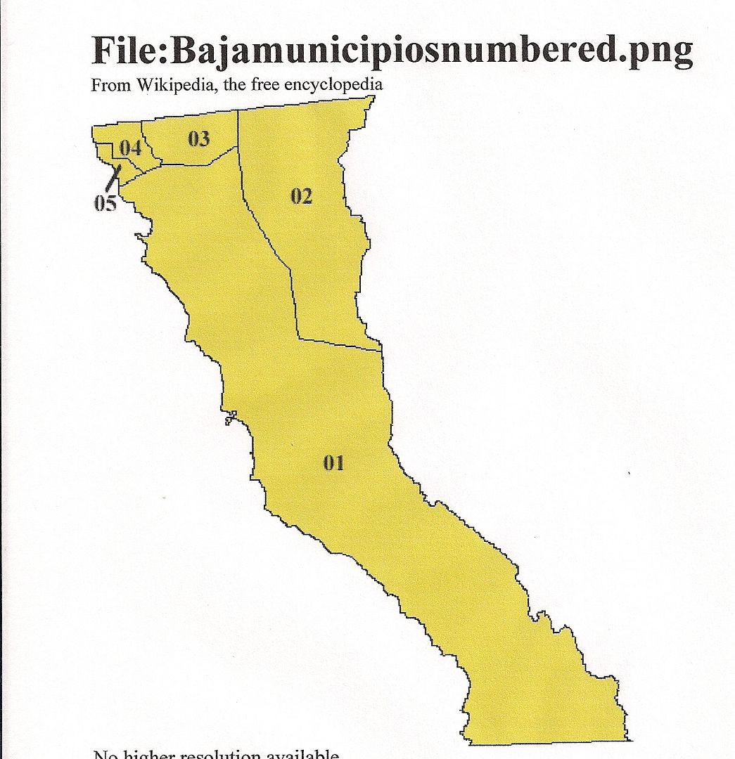
Originally posted by sancho
Sr. DK our resident Cartagrapher, no sarcasim
intended, had a similar map a while back, looks
like Mexicali Muni, the Capital of the State of
Baja only goes
down around Puerticitos while Ensenada goes
maybe to the State line


The Mexicali municipality ends in the arroyo just south of Punta Estrella and north of Laguna Percebu.

I last posted the map when there was a discussion about San Quintin breaking off from Ensenada... and taking all the land south to the state border with it... San Quintin voters rejected that idea, so they are still in Ensenada Municipality (County).

Here is the map I have used before (same as the one TW posted, just smaller):


[Edited on 1-25-2013 by David K]