Originally posted by David K
I have been spending a long time on Google search.... and it's worn me out! LOL
Would someone in-the-know... know?
I welcome anyone with some geology or rock-hound expertise!
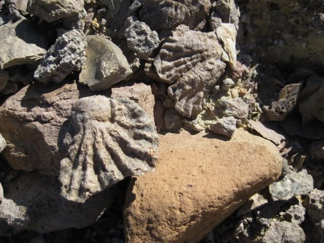
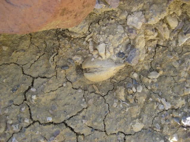
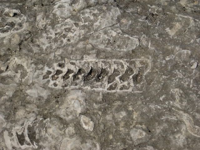
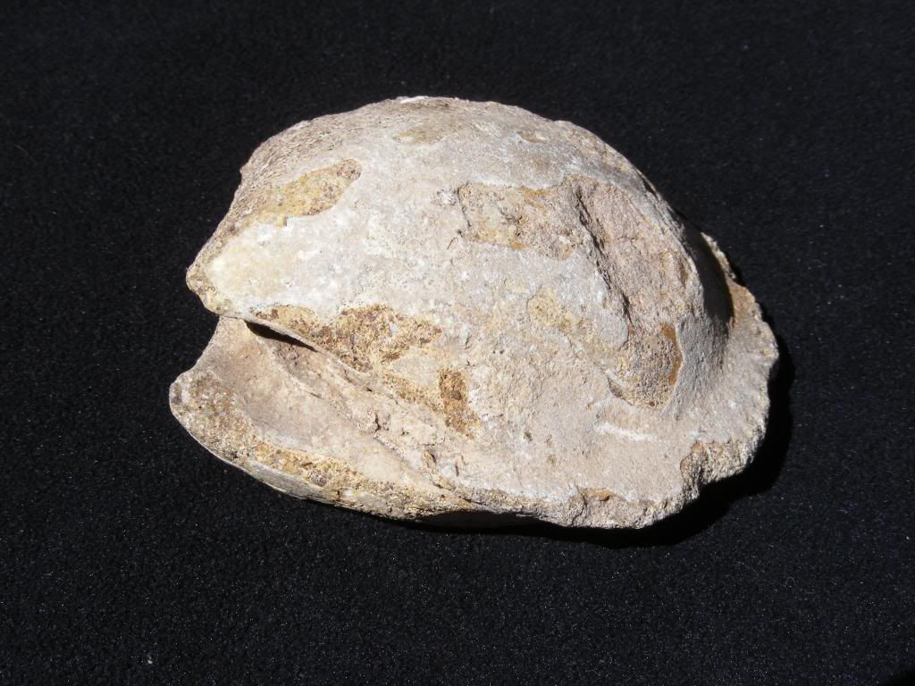
I have seen fossils at El Rosario, Las Pintas, south of San Felipe, near Bahia Asuncion, and, well lots of places. Either they are several miles from
the beach or hundreds of feet above sea level, or both!
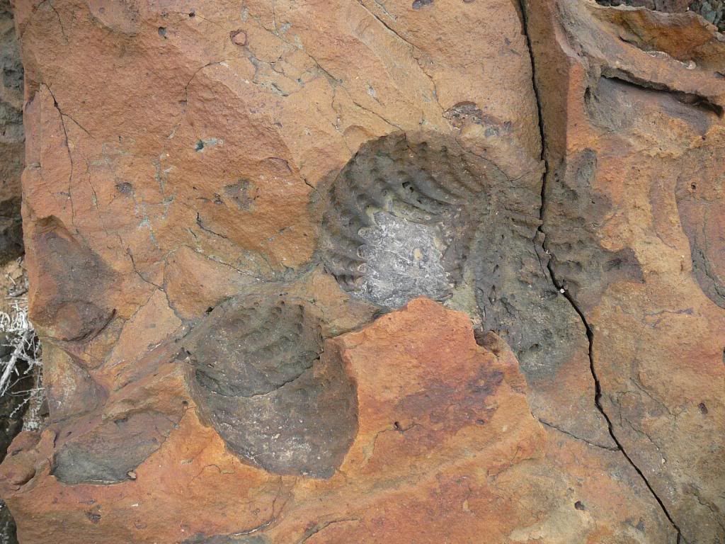
How old are the fossil shells, sharks teeth, and other items turned to rock we see in Baja?
Is the location where we see these fossil sea shells and teeth that was once under the water indicate a far higher sea level, tectonic tilting of the
land up and out of the ocean, or both?
I realize that the fossil beds in different area might come from different geologic periods... or are they from the same period being that the
peninsula is a pretty narrow sliver of land compared to the size of the earth?
Thanks for your input!
 |


 . There will no doubt be more whoppers for in Baja in the
future.
. There will no doubt be more whoppers for in Baja in the
future.