BajaNomad

Anza Borrego

Ateo - 2-23-2013 at 09:59 AM

After watching a Huell Howser Anza Borrego episode last Saturday night, we decided to head out that way the following day. I had camped out there but never did the "visit the park and do touristy things before." It was AMAZING.

We headed down the new portion of Highway 76 in Oceanside, into Vista, past Pala and out by Lake Henshaw. In my twangy Howser impression I annoyed the hell out of my wife and children the whole way. There were many "OH WOW's".....

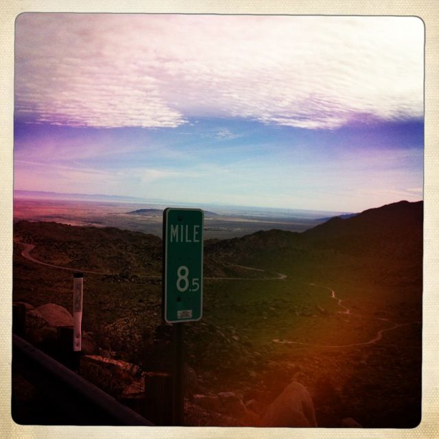
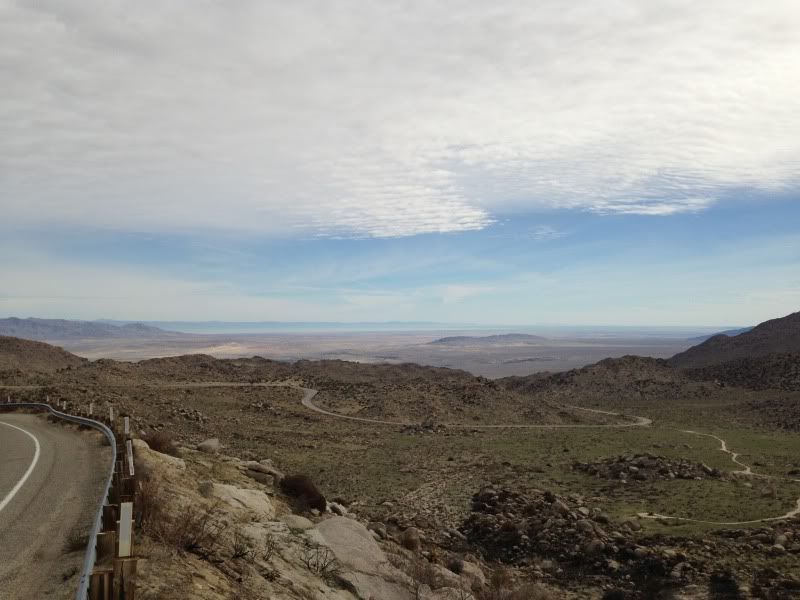
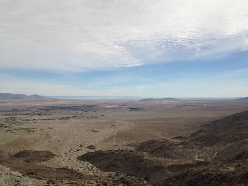
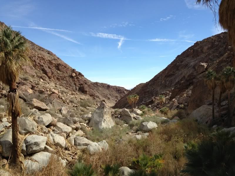
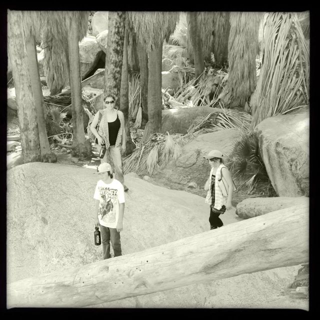
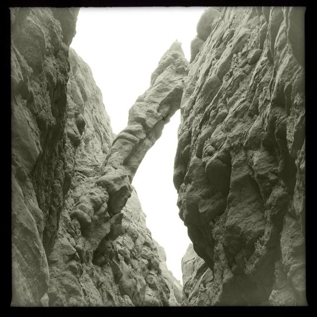
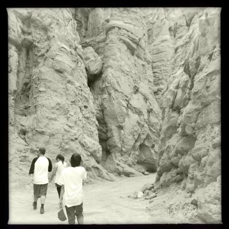
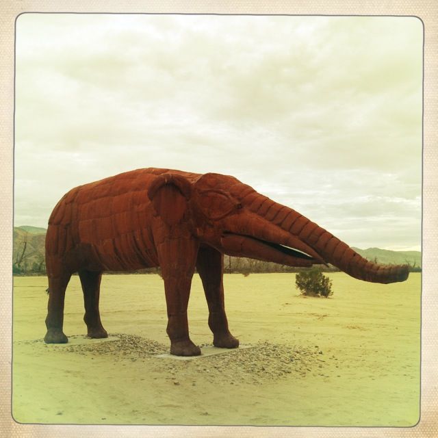
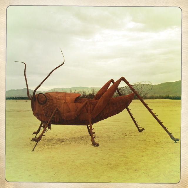
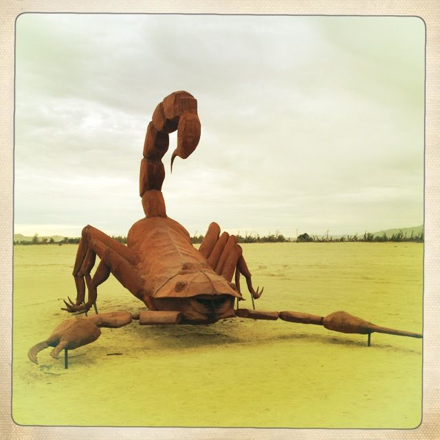
Here are some photos.


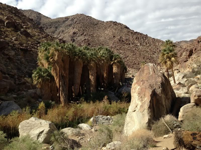
We decided on a hike and wandered into a beautiful Oasis:


LUNCH WAS EPIC.


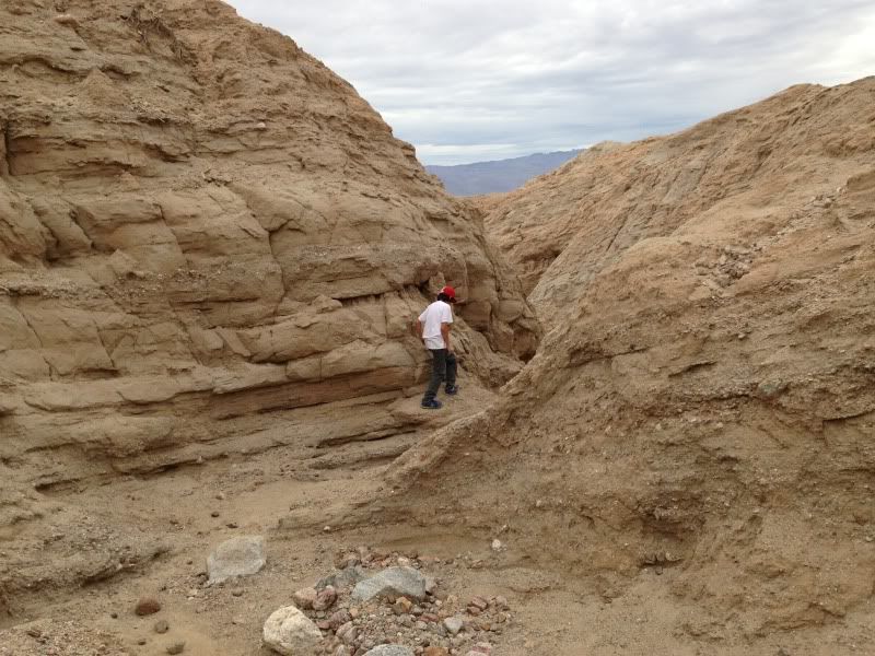
The Slot:


Thanks for coming along.

Bajaboy - 2-23-2013 at 10:12 AM

We spent the long weekend out there as well...great weather, friends, and family.


David K - 2-23-2013 at 10:16 AM

Thank you Jon! Anza-Borrego is the next best thing to Baja trip for us, and there are indeed some AMAAAZING things to see!

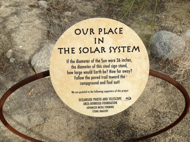
Did you take a photo of Earth's location? That is a new item since our last time at the museum.

[Edited on 2-23-2013 by David K]

Ateo - 2-23-2013 at 10:18 AM

Quote:
Originally posted by David K
Thank you Jon! Anza-Borrego is the next best thing to Baja trip fro us, and there are indeed some AMAAAZING things to see!

Did you take a photo of Earth's location? That is a new item since our last time at the museum.


Unfortunately I didn't take a shot of Earth's location. We were to excited to get hiking and skipped the rest of that exhibit. Next time!

Barry A. - 2-23-2013 at 11:03 AM

Ateo--------the canyon with the palms----do you remember which one that was (does not look like Palm Canyon west of the big campground!?!?!?)

Barry

Howard - 2-23-2013 at 11:12 AM

You can't tease us like that! I'll buy you a beer at Carly's for the answer to the size of the earth. :biggrin:

TMW - 2-23-2013 at 11:16 AM

Excellent, thanks. I haven't been out there in over 20 years. Just pasted by a few times now I think I have a need to go.

Frank - 2-23-2013 at 12:15 PM

I love Anza Borrego. We have been testing the new to us 4Runner out when we found this...


Ateo - 2-23-2013 at 12:24 PM

Quote:
Originally posted by Barry A.
Ateo--------the canyon with the palms----do you remember which one that was (does not look like Palm Canyon west of the big campground!?!?!?)

Barry


Actually, yeah, that was the Borrego Palm Canyon hike. 3.5 miles if I remember. Fun!

Ateo - 2-23-2013 at 12:25 PM

Frank, that is an awesome photo man!

Howard, come on......what's the answer?? =)

Barry A. - 2-23-2013 at 12:27 PM

Quote:
Originally posted by TW
Excellent, thanks. I haven't been out there in over 20 years. Just pasted by a few times now I think I have a need to go.


Each Spring we spend a month in Anza-Borrego and this year will be our 14th. We go out exploring at least 3 days a week while there in our 4x4, and only now are we almost convinced that we have covered all the jeep roads--------------it is a HUGE Park, with many many things to see and do. This year we plan to start revisiting the places that impressed us the most.

Barry

Ateo - 2-23-2013 at 12:30 PM

Next time I will U2U you Barry for the best spots!

Barry A. - 2-23-2013 at 12:48 PM

Quote:
Originally posted by Ateo
Next time I will U2U you Barry for the best spots!


That would be fine, Ateo. It looks like you already have found some gems (The Slot) that most never see. You can access "the slot" from the top for those in cars and no 4-wheel drive capability. You do need a good map----available at the Palm Canyon Visitor Center. I recommend the "ANZA-BORREGO DESERT REGION Recreation Map" put out by Earthwalk Press-----waterproof addition (it lasts forever). It is a little pricey, but worth it.

Barry

Curt63 - 2-23-2013 at 09:40 PM

Great report and pics. I love the Palm Canyon hike and Visitors center.

If you go out next weekend (I'll be there) there will be several hundred Jeeps / rock crawler / off road supplier exhibits at the Tierra Del Sol Jeep Safari at Truckhaven...Its a scene! Lots of guys showing off in some seriously built rigs.

Frank - 2-23-2013 at 11:55 PM

Curt, have you been down Piepkorn slot lately? I got my stock 4runner through the slot, over the rocks and made it to the "ledge". Standing at the top looking down at those deep holes I decided to turn back. We were solo and wasn't sure what it was like the rest of the way. I knew I wasn't going to be coming back up that ledge.

There is a garmin gps map available for the Anza area. www.anzaborregoexplorer.com

jeans - 2-24-2013 at 12:12 AM

You've just got started......crawl though the mud caves...visit the pumpkin patch....go to the Solstice rock on the 21st of June...every year on 4th of July weekend they have volunteers do the annual Bighorn sheep count. (I did the count...twice)

See the wild horses....(Are they still there? There was talk about removing them because they were not "Indigenous")

Yep...lots to see in ABDSP.

Barry A. - 2-24-2013 at 09:34 AM

Quote:
Originally posted by Frank
Curt, have you been down Piepkorn slot lately? I got my stock 4runner through the slot, over the rocks and made it to the "ledge". Standing at the top looking down at those deep holes I decided to turn back. We were solo and wasn't sure what it was like the rest of the way. I knew I wasn't going to be coming back up that ledge.

There is a garmin gps map available for the Anza area. www.anzaborregoexplorer.com


Unless things have changed, that "loop" is a real bugger, and last time out there about 5 years ago we chickened out making it thru from the top. I walked it and said to myself, "no way" without doing damage, both to my vehicle and to the terraign.

We then turned around and back to S-2 via Mortero Wash and came in from the bottom, so we got to see all we wanted to see without doing damage. It's a beautiful area around that loop.

Barry

mtgoat666 - 2-24-2013 at 09:43 AM

Quote:
Originally posted by Ateo
Next time I will U2U you Barry for the best spots!


Climb sombrero peak or whale peak! Great hikes no matter what direction you come from. Take water, several 1000s feet of elevation change

David K - 2-24-2013 at 09:47 AM

The Solstice Rock was very interesting! Thank you jeans, I enjoyed that hike.

Curt63 - 2-24-2013 at 03:55 PM

I haven't done the Piepkorn slot...yet

tripledigitken - 2-24-2013 at 04:28 PM

A couple of our favorite camping spots..............

drive to- Top of Pinon Mtn. pass, by the large tree on the north side.


hike to- Cougar Canyon and Sheep Canyon via Coyote Canyon, running water year round.

LoyeB - 2-24-2013 at 04:59 PM

Very cool, Im headed down there next week with my botany class. Should be a blast.

chuckie - 2-24-2013 at 05:09 PM

When I was co opted into working in Irvine (hated it), I looked for every excuse to get out of the area. I volunteered with the Desert Bighorn Sheep Foundation and spent almost every weekend in the Anza Borrego area working on habitat and restoring waterholes. Possible the only thing that kept me sane..Lovely area...

BajaLucy - 2-24-2013 at 05:53 PM

Quote:
Originally posted by Ateo
After watching a Huell Howser Anza Borrego episode last Saturday night, we decided to head out that way the following day. I had camped out there but never did the "visit the park and do touristy things before." It was AMAZING.

We headed down the new portion of Highway 76 in Oceanside, into Vista, past Pala and out by Lake Henshaw. In my twangy Howser impression I annoyed the hell out of my wife and children the whole way. There were many "OH WOW's".....

Here are some photos.

Awesome place can't wait to go back and explore more from Anza!
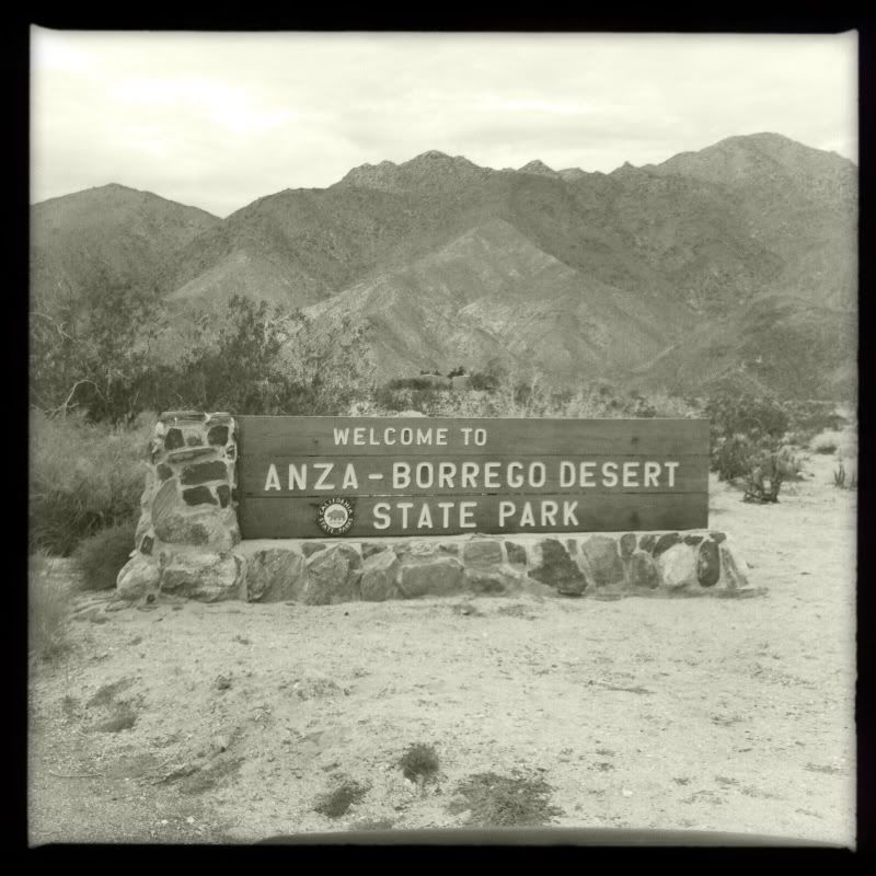


We decided on a hike and wandered into a beautiful Oasis:


LUNCH WAS EPIC.


The Slot:


Thanks for coming along.
:P

Hook - 2-24-2013 at 06:23 PM

Quote:
Originally posted by tripledigitken
A couple of our favorite camping spots..............

drive to- Top of Pinon Mtn. pass, by the large tree on the north side.


hike to- Cougar Canyon and Sheep Canyon via Coyote Canyon, running water year round.


The last time I tried to camp at that tree on the north side, it had a beehive in it and the activity was at a high level. We had to move. But it is a great area in March-November. It can get cold up there.

Other great camps are up Coachwhip and the lower areas of Bow Willow Wash before it meets Vallecito Wash. Also like the big tamarisk grove off South Carrizo Wash area, Hawk Canyon (when there's no one else there, which is rare), the Mesquite Knolls on either side of Palm Spring and the Dos Cabezas area.

Are they allowing any camping in the "new" area the park bought between S-2 and the Laguna Mtns, south of Mason Valley Road? Basically west of Vallecitos County Park?

tripledigitken - 2-24-2013 at 07:05 PM

Quote:
Originally posted by Hook
Quote:
Originally posted by tripledigitken
A couple of our favorite camping spots..............

drive to- Top of Pinon Mtn. pass, by the large tree on the north side.


hike to- Cougar Canyon and Sheep Canyon via Coyote Canyon, running water year round.


The last time I tried to camp at that tree on the north side, it had a beehive in it and the activity was at a high level. We had to move. But it is a great area in March-November. It can get cold up there.

Other great camps are up Coachwhip and the lower areas of Bow Willow Wash before it meets Vallecito Wash. Also like the big tamarisk grove off South Carrizo Wash area, Hawk Canyon (when there's no one else there, which is rare), the Mesquite Knolls on either side of Palm Spring and the Dos Cabezas area.

Are they allowing any camping in the "new" area the park bought between S-2 and the Laguna Mtns, south of Mason Valley Road? Basically west of Vallecitos County Park?


That's funny you knew that spot.

Ken

chuckie - 2-24-2013 at 08:22 PM

Arent these the same photos that were posted before?

Bajaboy - 2-24-2013 at 08:37 PM

Quote:
Originally posted by Hook
Quote:
Originally posted by tripledigitken
A couple of our favorite camping spots..............

drive to- Top of Pinon Mtn. pass, by the large tree on the north side.


hike to- Cougar Canyon and Sheep Canyon via Coyote Canyon, running water year round.


Are they allowing any camping in the "new" area the park bought between S-2 and the Laguna Mtns, south of Mason Valley Road? Basically west of Vallecitos County Park?


No but they have posted some new trail markers, signs, etc. We camped at Vallecitos last weekend and did a run towards Mt. Laguna.


[Edited on 2-25-2013 by Bajaboy]