Originally posted by mulegemichael
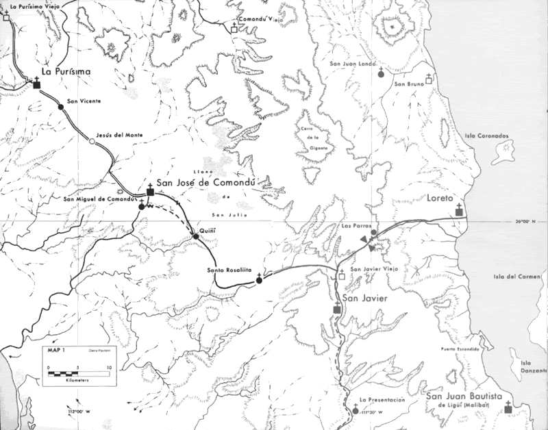
hey amigos....we are fortunate to have dear friends visiting us here in mulege that are headed out on a 10 day bicycle trip across to the pacific from
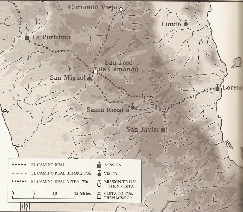
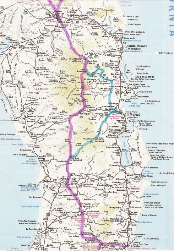
san ignacio then south to san juanico, across to la purismo/san isidro, on to comondu, and out the other side, (our side) to the mission at san javier
to complete the ordeal, uh, trip.....any info on any parts of these legs????...we had trouble finding the connection between la purismo and comundu a
year or so ago...gracias para todo! |


 .
.

