Originally posted by David K
| Quote: | Originally posted by Bajatripper
| Quote: | Originally posted by Bajaboy
| Quote: | Originally posted by David K
13,000 feet?
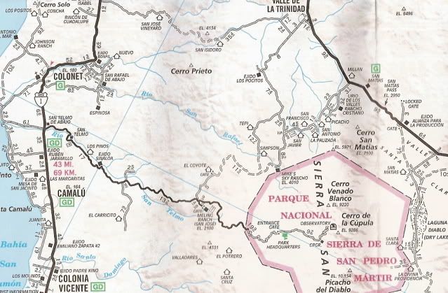
Observatory is at 9,200' and the tallest peak in Baja, a few miles to the southeast (Picacho del Diablo, and other names), is just over 10,100 feet.
|
Net gain....yes, 13,000 ft. |
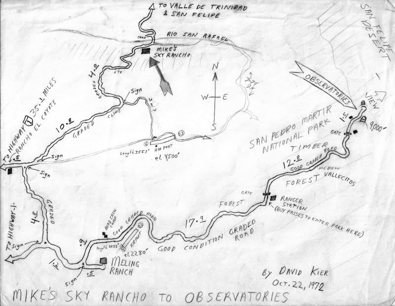
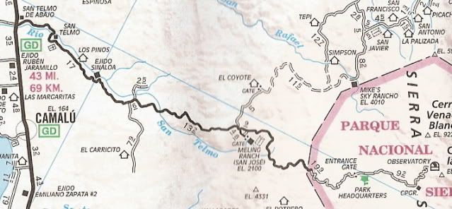
As long as we're being factual, my odometer showed it to be over 70 miles out to the Observatory, but perhaps it's in error. |
We don't let facts get in the way of a good story do we? Well, some of us do!! LOL
As I see Geoff replied, I also recall seeing the 100 km. marker near the end of the road, up there at 9,280 feet. The AAA map has it about 62 miles,
as well. I still don't get the '13,000 foot gain' deal, but I guess if you keep adding the gains in elevation and don't subtract any downhill sections
(dropping into the Meling Ranch valley and dropping into Vallecitos past the ranger station)... ??? I just hope they have fun and don't become food
for the condors up there!!!   |