BajaNomad

Sierra Juarez Road Maps

David K - 3-27-2013 at 10:53 PM

Quote:
Originally posted by liknbaja127
Wow, great times, you have had! Love the history of your trips.
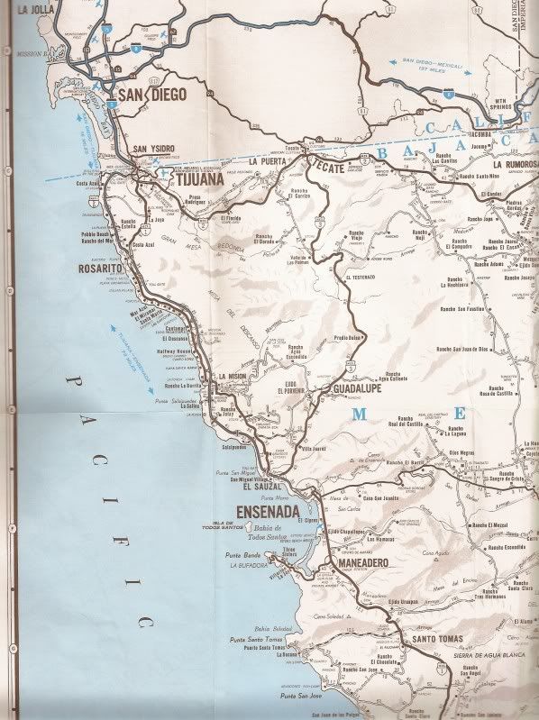
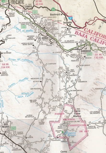
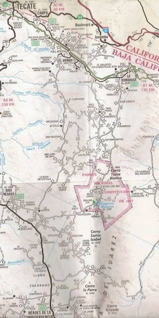
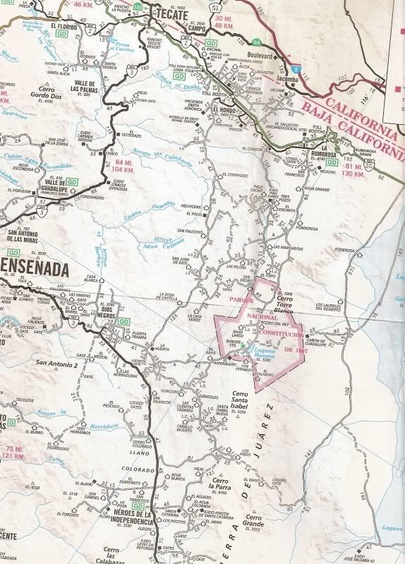
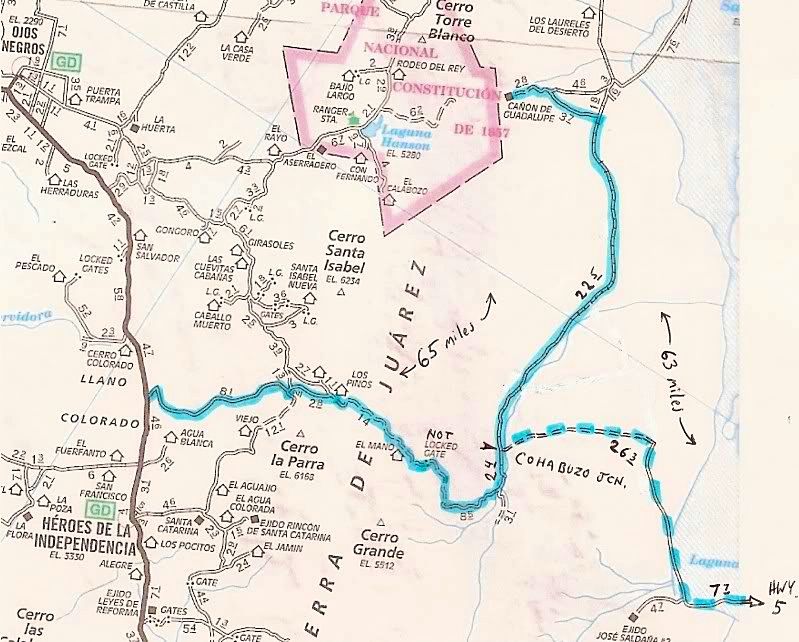
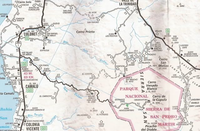
Do you have any maps for the northern part. We are doing a trip from
Rancho Veronica to Mikes. We used to go thru Laguna Hanson area and
come out near La Independencia, last time we could not find road! Lots of gates, have you been in this area lately? Thanks for the help.


Originally asked in the General Baja forum, under my thread on finding the Old Main Road compared to Hwy. 1.

Here are some maps of the Sierra Juarez:

1974:


2003-2010 Maps:


Route I drove in 2003 after watching the Baja 500 near Hwy. 3, we went to Guadalupe Canyon Hot Springs.


liknbaja127 - 3-31-2013 at 05:41 PM

David, thanks for the help, you have some great maps! We are doing a trip
on the wekend of the 19th, Santa Veronica to Mikes and back.
If you or any one would be interested, let me know. I will send info.

David K - 8-3-2013 at 10:20 AM

Would love to hear of any off road trips.