BajaNomad

Need to get to Catavina sometime after Dec 20

Mark_BC - 12-11-2013 at 10:20 AM

I will be flying into LA Dec 18 and then need to get south to Catavina anytime after Dec 20 or so (need a couple days to get organized). I can get a ride down as far as the border to meet you.

I'll have a bike which I can make flat, plus a flat bike trailer, and a duffel bag full of stuff.

I can pay for half the gas, etc. to cover your trouble. I am experienced with driving in Baja so can provide assistance with routes and getting through the border areas.

David K - 12-11-2013 at 10:33 AM

Cataviña is still about 60 miles from the upper Salsipuedes ranch access road... or do you need a warm up ride on Mex. 1 first? Have a great adventure Mark!

Mark_BC - 12-11-2013 at 10:54 AM

Well I figure if someone can take me to Catavina they can take me the extra 60 miles south and drop me on the side of the highway. Easier to say "Catavina".

Nah I'd rather not warm up on the highway, I'll get that on the access road. It would be great if I could get a ride up that road as well, that way I could assess if there's water up there and maybe not take as much if there is some. Otherwise, I have to haul a full load of water up that road, without knowing what the water situation will be up there.

I sure will! I'll post my Spot map webpage.

David K - 12-11-2013 at 11:30 AM

Quote:
Originally posted by Mark_BC
Well I figure if someone can take me to Catavina they can take me the extra 60 miles south and drop me on the side of the highway. Easier to say "Catavina".

Nah I'd rather not warm up on the highway, I'll get that on the access road. It would be great if I could get a ride up that road as well, that way I could assess if there's water up there and maybe not take as much if there is some. Otherwise, I have to haul a full load of water up that road, without knowing what the water situation will be up there.

I sure will! I'll post my Spot map webpage.


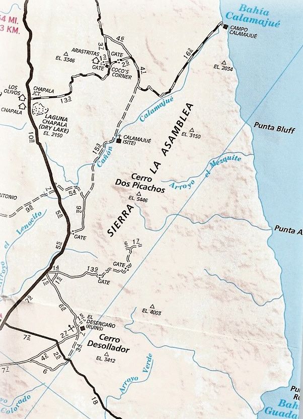
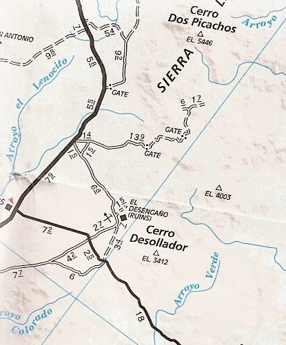
Nomads know the area (well some do)... Here are maps... This is between El Crucero and the L.A. Bay hwy. jcn... note the road that goes northeast from Hwy. 1... with the two gates on it. About 10 years ago, I drove up there, but the first gate was locked! Nomad BillB (has a Rokon m/c) camped at the locked gate until the rancher arrived... who let him in and Bill could get to the headwater of Salsipuedes as well as the DC-3 wreck on the mountainside.


Mark_BC - 12-11-2013 at 11:40 AM

Oh I didn't realize it was gated. The rancher wouldn't get upset if I just went over it would he? Where is the wreckage?

David K - 12-11-2013 at 11:59 AM

The gates seem to no longer be locked (as the AAA map would say, and they couldn't get a mileage reading in there)?

The DC-3 wreck is on the side of La Gobernadora mountain, near the top.

Search posts from BillB and DC-3...

David K - 12-11-2013 at 12:15 PM

Okay, I will search more for photos of the wreck that BillB sent me... They were posted on Nomad as attachments years ago. When Nomad rebooted all the attached photos were erased (Doug has said they will be put back, someday)...

Here is my post about the DC-3 location:


posted on 2-4-2004 at 06:28 PM


Uncle Erle was a great mystery novelist. The Santa Ysabel mission legend was well known in the 1950's and 60's when Erle did most of his Baja exploring. Everyone was looking for something out of place, man made, etc. That adobe building in Hovering Over Baja was in fact an old pre-automobile age rancho, not a Spanish ruin, I was told.

So, where is it? The book gives a few clues from the DC-3. But, where is the DC-3, you ask? :)

The DC-3 plane wreck that the chapter starts out talking about is on Cerro la Gobernadora (just northeast of El Crucero). GPS at the wreck is: 29°17.33'/ 114°06.57'
Thanks to Amigo-Nomad BillB, who climbed the peak and to the wreck and sent me the GPS and photos...

Erle writes he spotted a trail near the wreck and they followed it for several miles until the adobe was discovered. That region is the headwaters of Arroyo Salsipuedes and La Asamblea. The new Rancho San Luis (29°16.72'/ 114°02.80') is back in there, behind a locked gate on a road that leaves Hwy. 1 where the old L.A. Bay road junction is, about 8 miles north of the new L.A. Bay hwy. junction.

Just to see the old grave tombs Erle mentions is worth an investigation! They sound like the tombs at Rancho Santa Ana, southwest of San Borja. Bajataco has a great photo of those in his web site.

Choral Pepper searched for Santa Isabel near Puertecitos where the 1757 Jesuit map lists a waterhole (aguaje) of Santa Isabel. The lost Santa Clara mission, near Punta Abreojos (listed as San Juan Bautista in 1757) is a better candidate for a lost mission. The ruins discovered in 1966, I have been trying to re-find, is listed as Santa Maria Magdalena on that map, south of L.A. Bay.

Isn't Baja great!!!!

[Edited on 10-15-2019 by David K]

woody with a view - 12-11-2013 at 08:03 PM

cmon, nobody heading south? i guess as a last resort there is always the bus!

i'll know more in a few days.

woody with a view - 12-13-2013 at 04:49 PM

Mark, unfortunately, i'm not gonna be able to go. i hope someone here can spare some space and take you to the drop off zone.

good luck and let us know how it goes.

David K - 12-13-2013 at 06:22 PM

Maybe he's already on his way? Things have a way of working out... I did have an email exchange with 'BillB' and gave him the links to these two threads from Mark.

Mark_BC - 12-13-2013 at 09:26 PM

Oh well woody, that's the way it goes, thanks anyways. I don't fly down until Tuesday night.I may be needed at work mid-January so I may need to make this happen fast. Does anyone have any advice on taking the Mexican bus south? My friend can take me there.

Mark_BC - 12-19-2013 at 10:14 PM

Does anyone have any advice for renting a car in San Diego and driving down?

Ateo - 12-19-2013 at 10:42 PM

I'm heading south but won't have any room. I wish you luck on your adventure!!!!

woody with a view - 12-20-2013 at 05:29 AM

cabaja.com for the rental. or just get on a bus and tell the driver where to drop you off.

Mark_BC - 12-20-2013 at 01:55 PM

We found out that I can rent from Tijuana airport and it isn't too expensive. I'll drive it to Lay of LA. Does anyone know somewhere I can park it for a couple weeks?

woody with a view - 12-20-2013 at 02:12 PM

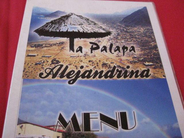
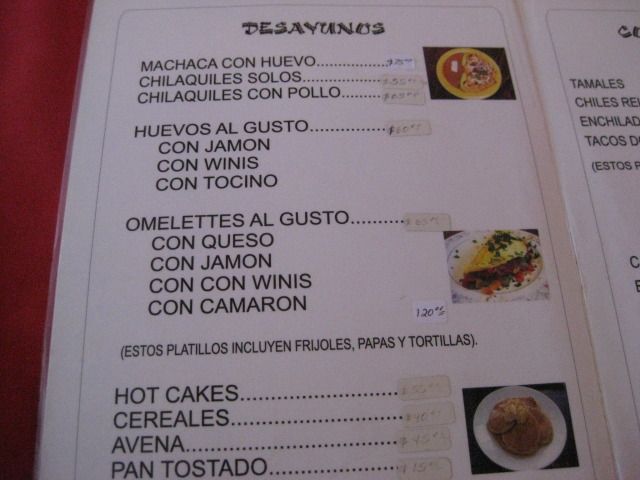
if it was me, i'd ask at Alejandrina's restraunt to leave it with them. come into town and take the roundabout and head towards La Gringa. it is right there, look on the right. they have very good food, also.

David K - 12-20-2013 at 07:03 PM

Quote:
Originally posted by woody with a view
if it was me, i'd ask at Alejandrina's restraunt to leave it with them. come into town and take the roundabout and head towards La Gringa. it is right there, look on the right. they have very good food, also.


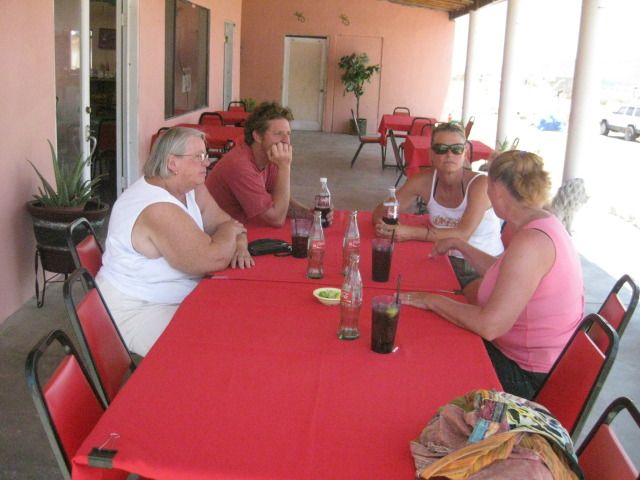
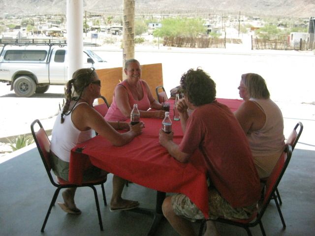
July, 2012 lunch with Mary Ann Humfreville, Paulina and Dern :bounce:

Mark_BC - 12-21-2013 at 12:07 AM

Yes, I've been there. Nice place.

David K - 12-21-2013 at 12:18 AM

Good luck Mark... Sure looking forward to your report! I hope you can get into the top of the canyon easily from that ranch road!

Mark_BC - 3-9-2014 at 12:46 PM

Hi everyone, it's me again. I'm going to try my bike ride through the desert again but I need to get down there somehow. I'm hoping to catch a ride from LA or San Diego, otherwise I'll have to take the bus which I'd like to avoid, with all the hassles putting my bike on the bus. I will probably go down around March 25 or so. If anyone can give me a ride down to the Bay of LA area, or even San Felipe, that would be great. My bike will be in a box so not too huge. I'll share gas costs etc.

Thanks,

Mark

JohnMcfrog - 3-9-2014 at 03:46 PM

check your u2

David K - 10-15-2019 at 03:15 PM

DC-3 wreck GPS in this thread.