
David K - 2-15-2014 at 07:16 PM
I was helping some Mexican amigos get ready to follow my hike from near Gonzaga Bay up to Mission Santa Maria, on the post 1769 Camino Real. My son
and I ran out of daylight before reaching the mission valley as we were trying to find the trail when it disappeared on us (back in 2003). I was shown
some Bing satellite images that were far better than Google Earth/Maps and newer too! The bridge by Papa Fernandez' is on the Bing satellite image...
built less than 2 years ago.
I thought it might be interesting to show some images between the two.
LAS PALMITAS OASIS (located on the Camino Real a couple of miles southeast of the Santa Maria canyon entrance:
Google Earth:
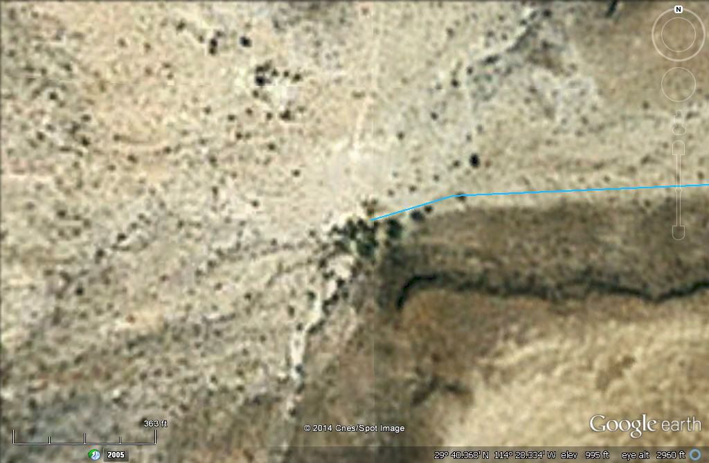
The blue line is the Camino Real route coming to Las Palmitas from Calamajue/Loreto.
Bing:
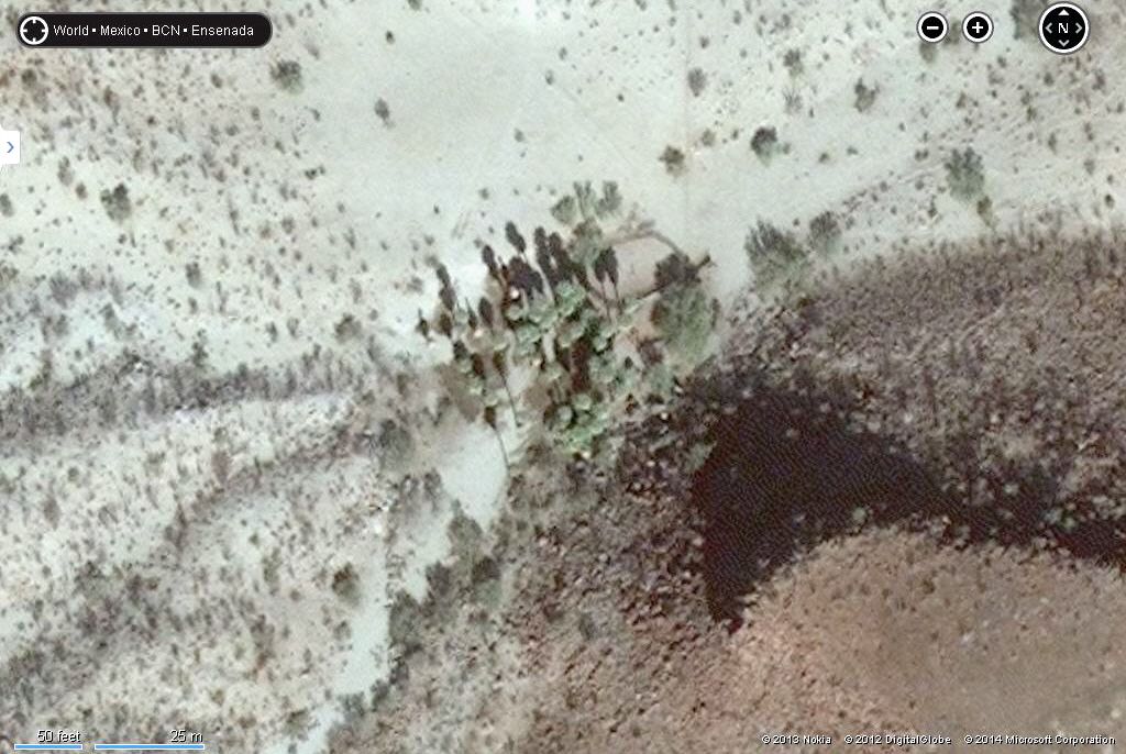
Amazing, right?
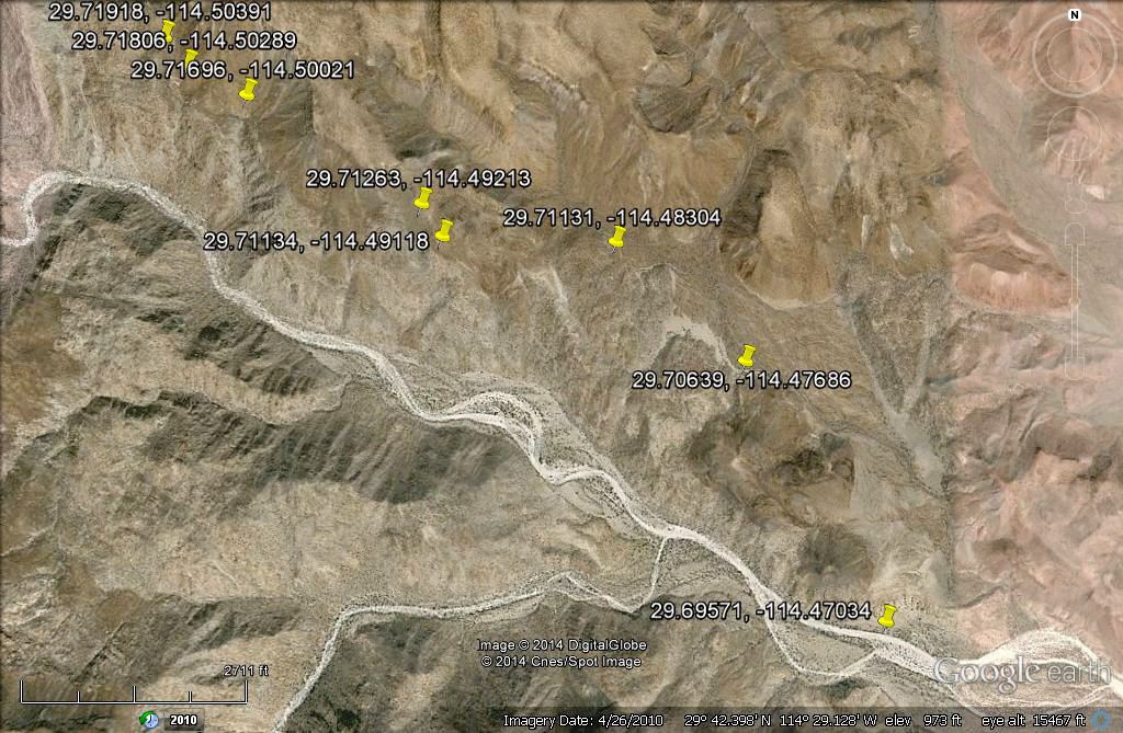
The Camino Real from near the canyon entrance to the end of my 2003 hike... None of the road can be clearly seen when zoomed in on GE:
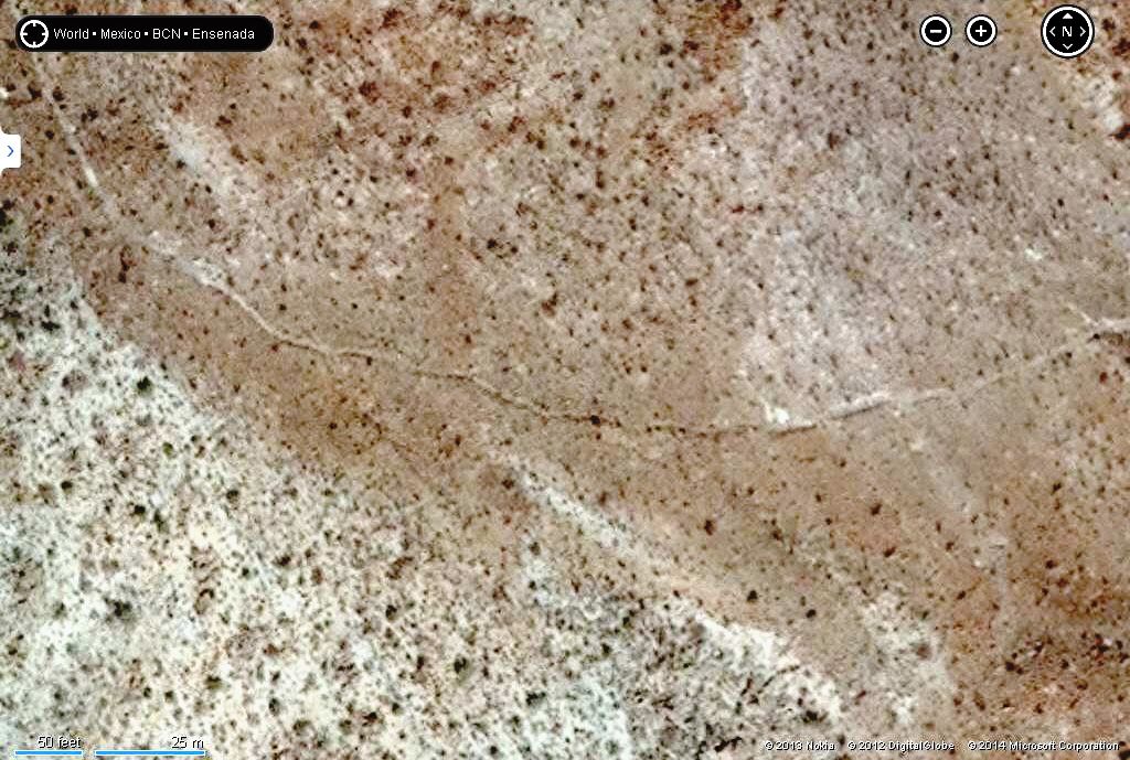
On Bing, nearly all of the trail can be seen, at a close in zoom (note 50 ft. scale bar), 2 samples:
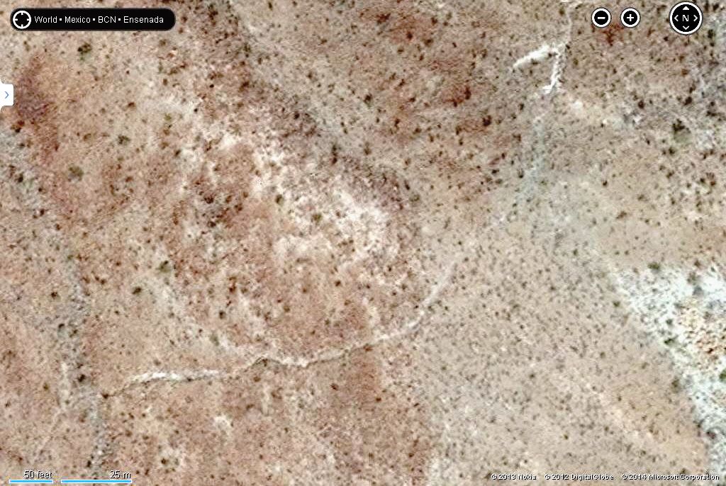
Google Earth gets a bit clearer as you near the mission valley, here is the same area as the above Bing image:

Mission Santa Maria on Bing:

Mission Santa Maria on Google Earth:

Anyway, for those interested in finding the old mission road, Indian trails, or other newer satellite images, try Bing Maps: http://www.bing.com/maps/?FORM=Z9LH4
Click on 'Bird's Eye', then click the down arrow and click 'Aerial' for the best view... or compare the two. I am new to Bing, so I haven't figured
out all the features or date of images.
Happy exploring!
MMc - 2-15-2014 at 08:03 PM
Dude, you need to go south. Quit messing with maps and jump down to Erendira or someplace close. Gas and food=great weekend. JUST GO!!!
David K - 2-15-2014 at 09:49 PM
Soon... but not to a cold foggy Pacific beach. That is all yours to enjoy! Thanks for your concern but I would post the above even if I lived in Baja
because I know it is appreciated.


