
PaulW - 2-16-2014 at 04:11 PM
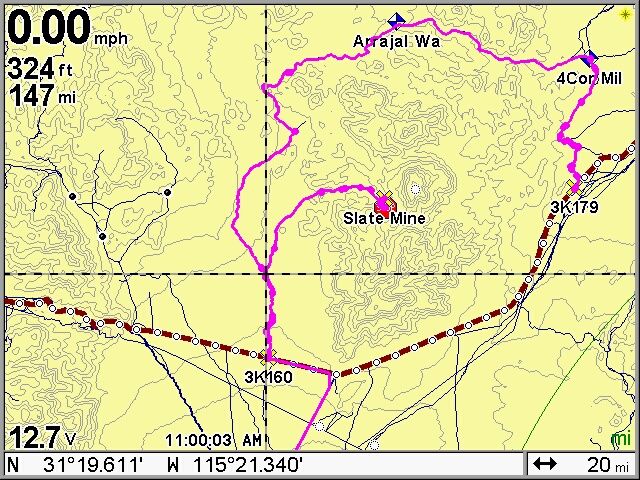
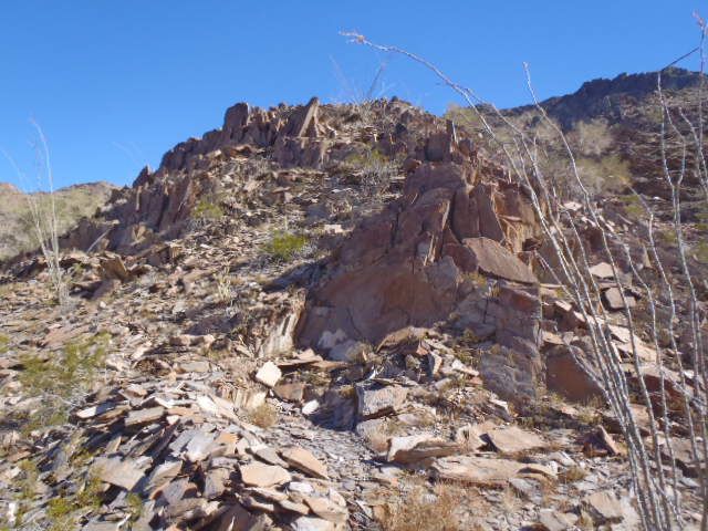
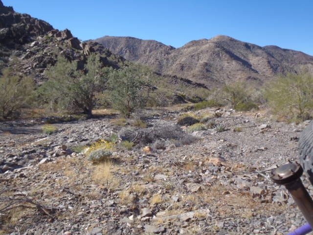
Slate mine North of Hwy 3 near L Diablo. Easy drive on an OK race road.
Trip from The El Dorado PMEX was 96 miles we went north on the lake bed with much dust and south on the graded road
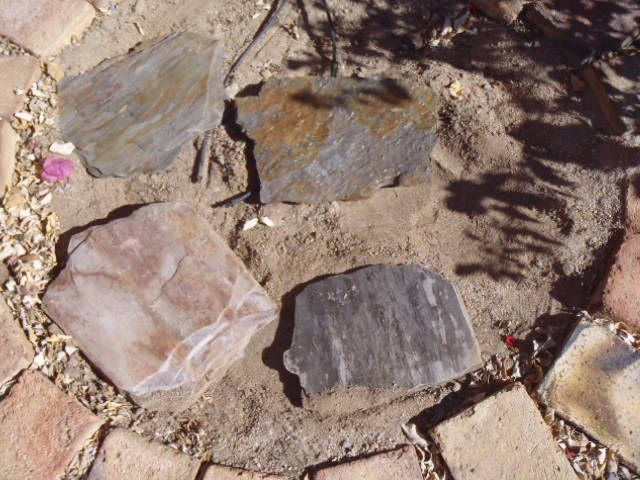
The slate samples we collected have a shiny metallic surface and are nice looking. I wish the pic did it justice.
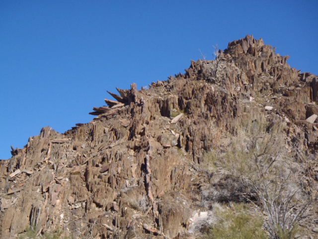
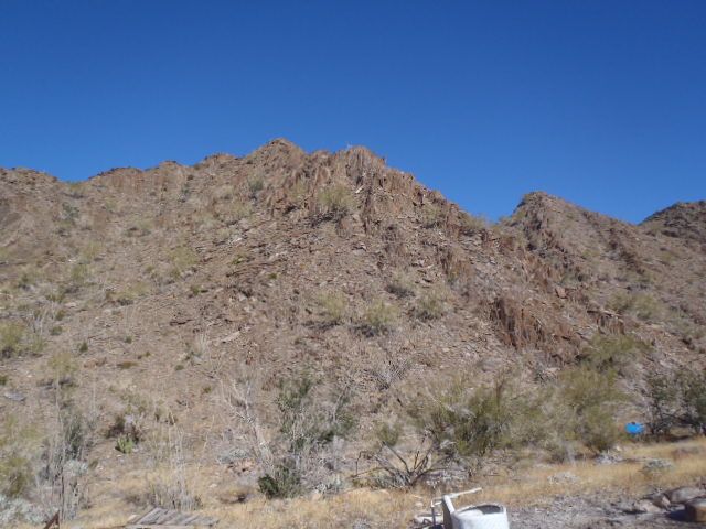
It seems that the mine is abandoned. With sleeping shacks falling down and pallets just left by the road. The hills are full of much more slate.
The lay of the land has the things sticking vertical
Pacifico - 2-16-2014 at 05:25 PM
Paul, which GPS map are you using? Is it the one from Murdock nav?
Tacodawgtim - 2-16-2014 at 08:35 PM
Hey Paul very interesting... I think I've met you here on the ranch. Do you have a full size bronco? I have a place in solar by Jim Mac Donald.
If you are here I would like to go over where this is at.. Did you do in off of 5? I will be here two more weeks at least till after the 250.
Thanks..
Tim
PaulW - 2-17-2014 at 07:54 AM
My GPS map is Murdock V2013 (8/14/2013). That version added many KM WP for the various highways he has driven and I noted that he has added the more
wash coloring. Very nice.
Please note that Murdock is Baja specific for Garmin and Lowrance only.
= = =
Hi Tim,
I remember you
Yes the white Bronco.
Easiest way for the trip - head north on 5 to the military ck and head west on 3 to K160, open the wire gate and drive to the coords at the crosshairs
(see coords for WGS 84 datum - bottom of the pic) and turn right at the Y. Return the same way to avoid the tech deep sand in Arrajal or the link to
Borrego which is very rough (3K179).
Paul
Tacodawgtim - 2-17-2014 at 08:15 AM
Hey thanks a lot... I am down here for a few weeks. Got a different buggy, it's red and has Budweiser on the the sides, it lives here along with a
jeep. I'll have to go check that out always looking for good day rides around here. Now need to check out the course to find a good spot to watch
it from since it's a new course..


