BajaNomad

San Francisco de Borja directions?

flyguy - 2-19-2014 at 01:21 AM

Just curious how many routes there are into the Mission, the distances and what the conditions of the roads are... been finding a lot on everything about the mission itself but having trouble finding much on the different driving options :) Looks like a magical place!

Thanks a lot.

San Borja

John M - 2-19-2014 at 07:28 AM

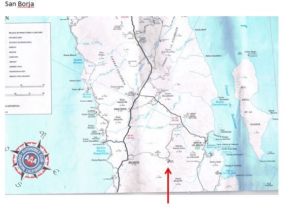
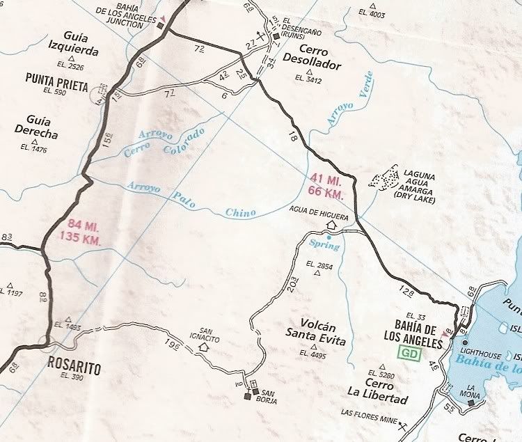
From an old map - two routes in. The better is to turn off Highway 1 at Rosarito 25 or so miles south of the road to Bay of Los Angeles. The second is to the south off the Bay of Los Angeles Road 27 or so miles east of Highway 1 and is rockier.

Each route is all dirt road, roughly 20 miles by either direction. The road is easy to follow with a fine reward for your effort.


[Edited on 2-19-2014 by John M]

David K - 2-19-2014 at 09:24 AM

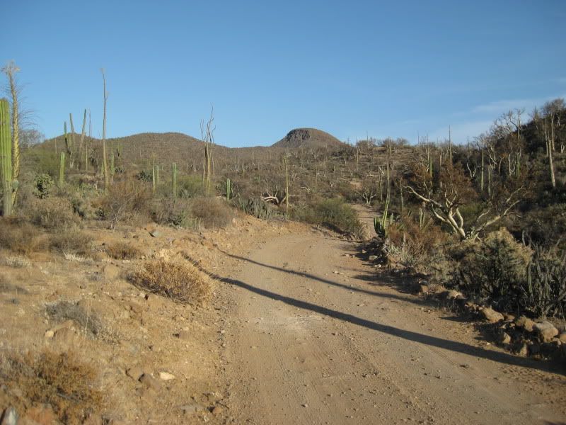
In 2009, went on both roads... the north one to the L.A. Bay highway was better. It seems to alternate... both are 22 miles long. Both are 2WD, but trucks/ vans/ SUVs would be better than sedans.


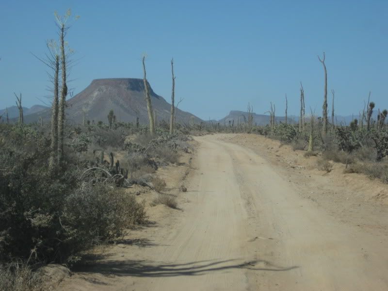
West road:


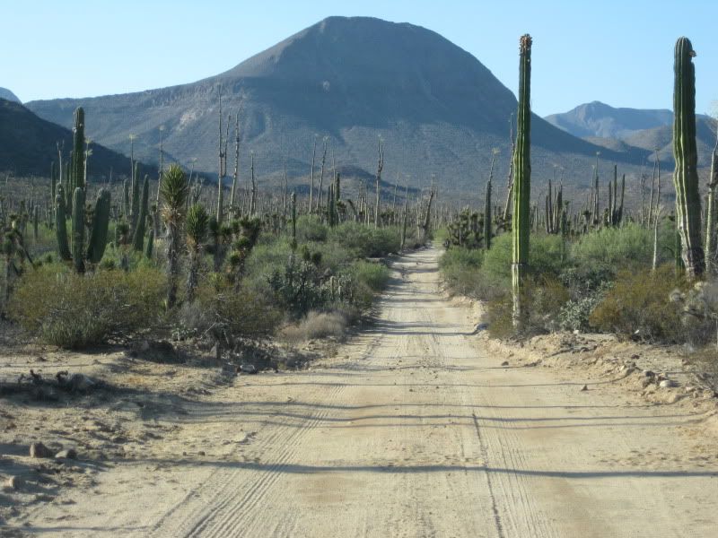
North road:


jbcoug - 2-19-2014 at 11:42 AM

Traveled both roads in August with Boe4fun. The south road was much better and less rocky.

honda tom - 2-20-2014 at 09:54 AM

Both roads are similar. depending on where you are coming/going take one in the other out. someone will come out and greet you. give them 10 or 20 bucs for the grand tour, very cool place. plan on 45 min to an hour each way.

David K - 2-20-2014 at 10:00 AM

Quote:
Originally posted by honda tom
Both roads are similar. depending on where you are coming/going take one in the other out. someone will come out and greet you. give them 10 or 20 bucs for the grand tour, very cool place. plan on 45 min to an hour each way.


This!

In 2009, the west road was badly rutted/ eroded. A grader must have gone over the road since. The north road has always been a joy to drive, perhaps do to the scenery? There is one short rocky hill, but no biggie, this is Baja afterall.

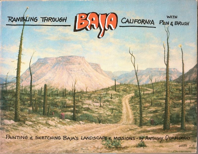
The cover of this book is along that road:


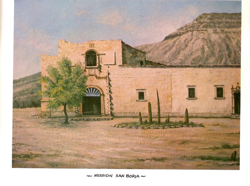
The mission...


The book is from 1984.

[Edited on 2-20-2014 by David K]

flyguy - 2-20-2014 at 05:31 PM

Thanks so much for the info guys, getting so excited for this trip :D looks like after BOLA we can hit the Mission and then back out to the highway and continue south. That flat top mountain in the pictures above is epic looking btw.... whats the name?

David K - 2-20-2014 at 08:49 PM

Quote:
Originally posted by flyguy
Thanks so much for the info guys, getting so excited for this trip :D looks like after BOLA we can hit the Mission and then back out to the highway and continue south. That flat top mountain in the pictures above is epic looking btw.... whats the name?


Educted guessing here, but that's Mesa la Lagunita... on the book cover and Cerro la Tecolate in my photo above... but you can call either one Mount Flyguy if you want!

Have a great time... José and his family are wonderful hosts. They live next to the mission and can guide you to any outside sites. Inside the mission there may be a representative from the Catholic Church to lead you around (José's family is not Catholic and has been banned from providing tours he used to give). Now, this may have changed since my last time there (2009)? José has been hired to do reconstruction work on the mission, so I guess that is okay with the Guerrero Negro priest, who includes San Borja in his jurisdiction.

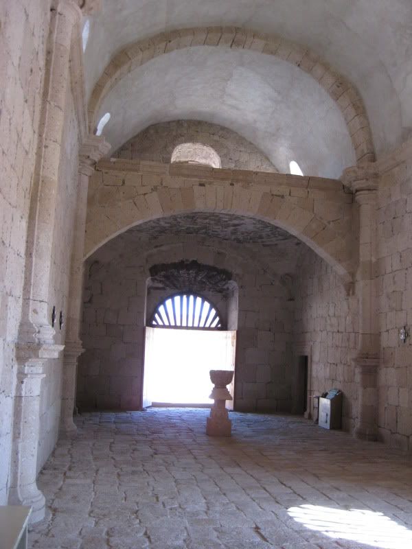
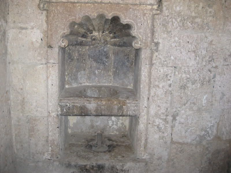
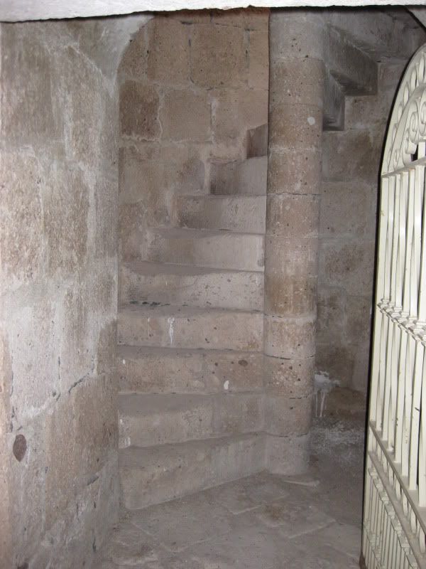
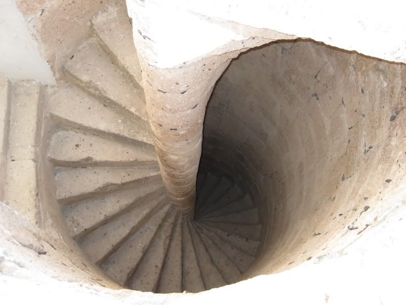
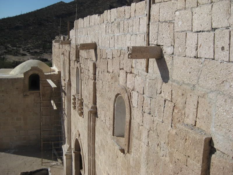
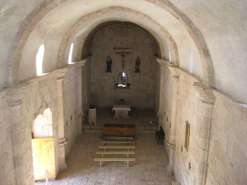
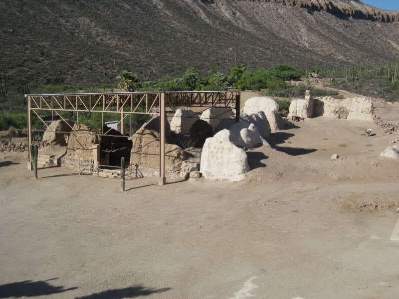
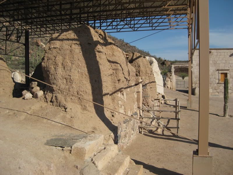
Some photos from 2009:


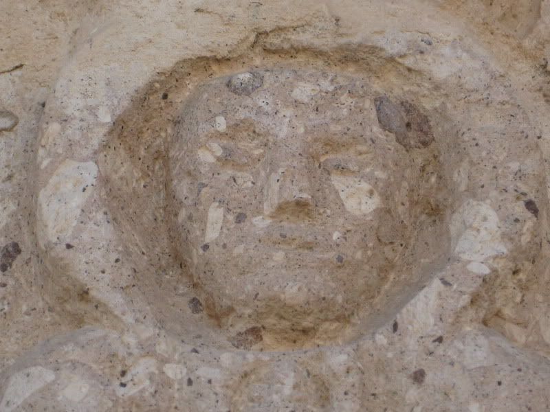
See the 'space man' on the left side of the front door.

This is the furthest north stone mission in Baja California. The mission was founded in 1762... and closed about 1818.


Older adobe buildings from the Franciscans and Jesuits, protected by awning and plaster coating, as seen from the stone church finished in 1801 by the Dominicans.


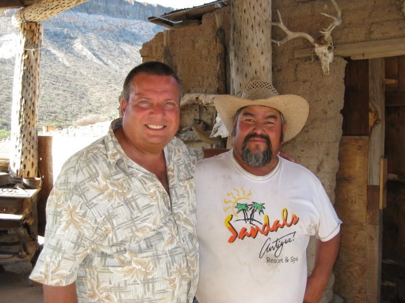
David K and José

flyguy - 2-20-2014 at 11:15 PM

Mount Flyguy ... has a nice ring to it :lol: . The Mission looks like a photographers dream! I have heard there are hot springs? What "other near by sites" are there?
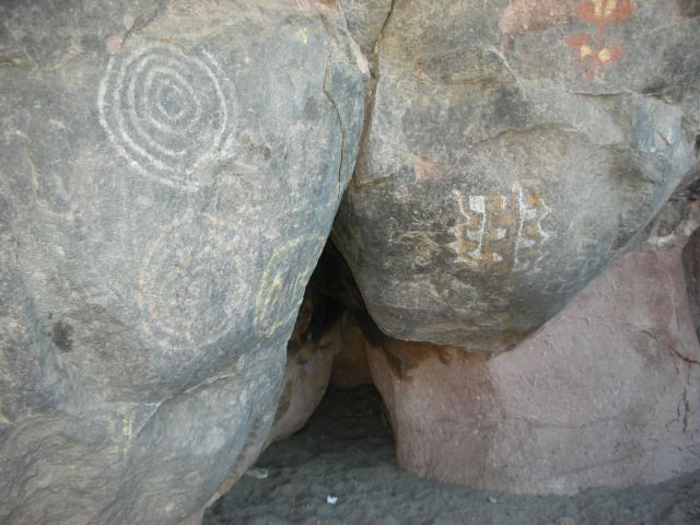
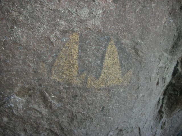
Nearby sites

John M - 2-21-2014 at 06:12 AM

Your plan to leave Bay of LA - visit San Borja - exit via the southernmost road is perfect. Don't rush the dirt road driving, you and your vehicle will appreciate it much more.

Just a few miles in from the Bay of Los Angeles Road, on the way to San Borja is a turn off to some nice pictographs at a site called Montevido - the exact route I'm sure has been published here on Nomad and though a short road in, it is really a nice drive. Could be some soft sand when you reach the paintings. Is your vehicle 4x4? Usually don't need it, but nice just in case.

At San Borja you can inquire of another painting site, Las Tinajitas - Jose can direct you.

The hot spring has been a part of the "tour" in the past.

One of the prettiest drives we've done in Baja actually starts at San Borja and leads south and east to San Gregorio - there are some neat adobe ruins at the end of the road. If you are in to hiking you can also travel a part of the old El Camino Real, the route of the missionaries - some pretty historic stuff there. Again Jose can help with directions - on a recent Baja Almanac it's shown as a foot trail and labeled Compostelo.

The little detour to San Borja could turn into 2 or 3 days of exploring quite easily. There is much more to see and do on this 40 mile adventure.

John M

David K - 2-21-2014 at 07:40 PM

What John said!

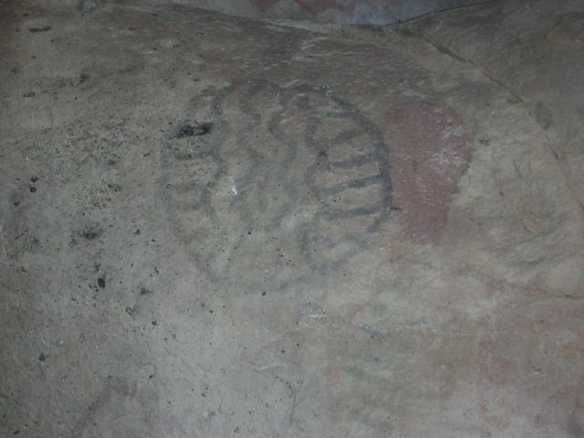
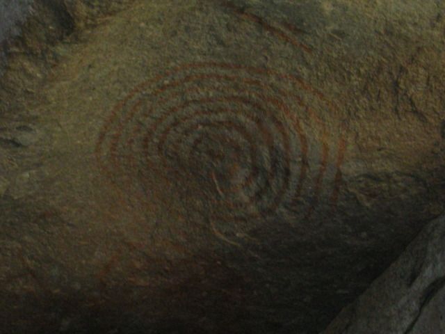
MONTEVIDEO...

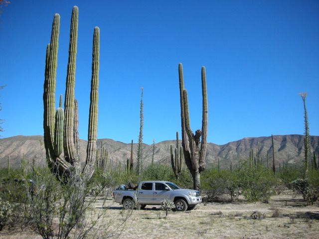
Go 2 miles towards San Borja off the L.A. Bay highway, take single track dirt road to the left... goes through great desert garden and after about 6 miles comes alongside cliffs covered in pictographs...


The road in:


bajabuddha - 2-22-2014 at 02:14 AM

Dave K, i hate to say this, but that first pic of the last series reminds me one heckuvalot of my first ex-wife (sans the tatoos). Shows karma happens? Whew. :?:

I heard from a doctor that owns property in Bahia L.A. several years back that San Borja has the best olives in Baja. Anyone know if they're still pickin?

David K - 2-22-2014 at 08:46 AM

Quote:
Originally posted by bajabuddha
Dave K, i hate to say this, but that first pic of the last series reminds me one heckuvalot of my first ex-wife (sans the tatoos). Shows karma happens? Whew. :?:

I heard from a doctor that owns property in Bahia L.A. several years back that San Borja has the best olives in Baja. Anyone know if they're still pickin?


Doc Abraham Vasquez (owner of Camp Gecko) had me bring him a Pomegranate tree cutting from José at San Borja... told me they were the best. José looked at his calendar to confirm the moon was in the proper phase to take a cutting for the tree! That was a dozen years ago... I wonder if the pomegranate survived at its new bayside location?

The Montevideo 'butt' is colorful indeed... I am sure the cochimí considered it worthy of honoring!

flyguy - 2-23-2014 at 09:57 PM

John M ... your advice will be well noted! thanks guys, as I dive deeper into what hidden gems Baja has to offer my excitement grows more and more! The toughest part will be having to choose what to do with our 3-4 weeks ... rumor has it there is a waterfall/hot springs near Santiago ... hmmm :spingrin:

David K - 2-24-2014 at 12:10 AM

Quote:
Originally posted by flyguy
John M ... your advice will be well noted! thanks guys, as I dive deeper into what hidden gems Baja has to offer my excitement grows more and more! The toughest part will be having to choose what to do with our 3-4 weeks ... rumor has it there is a waterfall/hot springs near Santiago ... hmmm :spingrin:


Search 'El Chorro', 'San Jorge', 'Santa Rita' ;)

wilderone - 2-24-2014 at 09:17 AM

The "hot springs" at San Borja is really a warm springs - but a soak is soothing nevertheless. It's on their private property, so inquire. There are also nice camping facilities - fire rings and palapas. Early mornings are so peaceful - good bird watching. This place deserves more than a mission tour to appreciate. Never saw olives for sale here.