BajaNomad

Cocos Corner to Calamajue

TMW - 4-27-2014 at 01:22 PM

The road from Cocos Corner to the Calamajue fish camp is good up to about KM25 then there are some major washouts. Good news is there is a good sand road to the sides. Not much left at the Calamajue fish camp. The camp is closed and most of the stuff out there is gone. Still a couple of buildings and truck beds and cabs. One family or group of people there digging shells or market. A couple of fancy buildings to the south not far from the camp. Not sure what they were for.

Forget about going out the wash from the Calamajue Mission to the fish camp. Us the race course road to the main road.

The mission has really taken a beating from the winds.

David K - 4-27-2014 at 01:31 PM

Thanks Tom... there have been no standing walls at Calamajué for maybe 100 years+... a small stub is all in a 1950ish photo.

TMW - 4-27-2014 at 01:52 PM

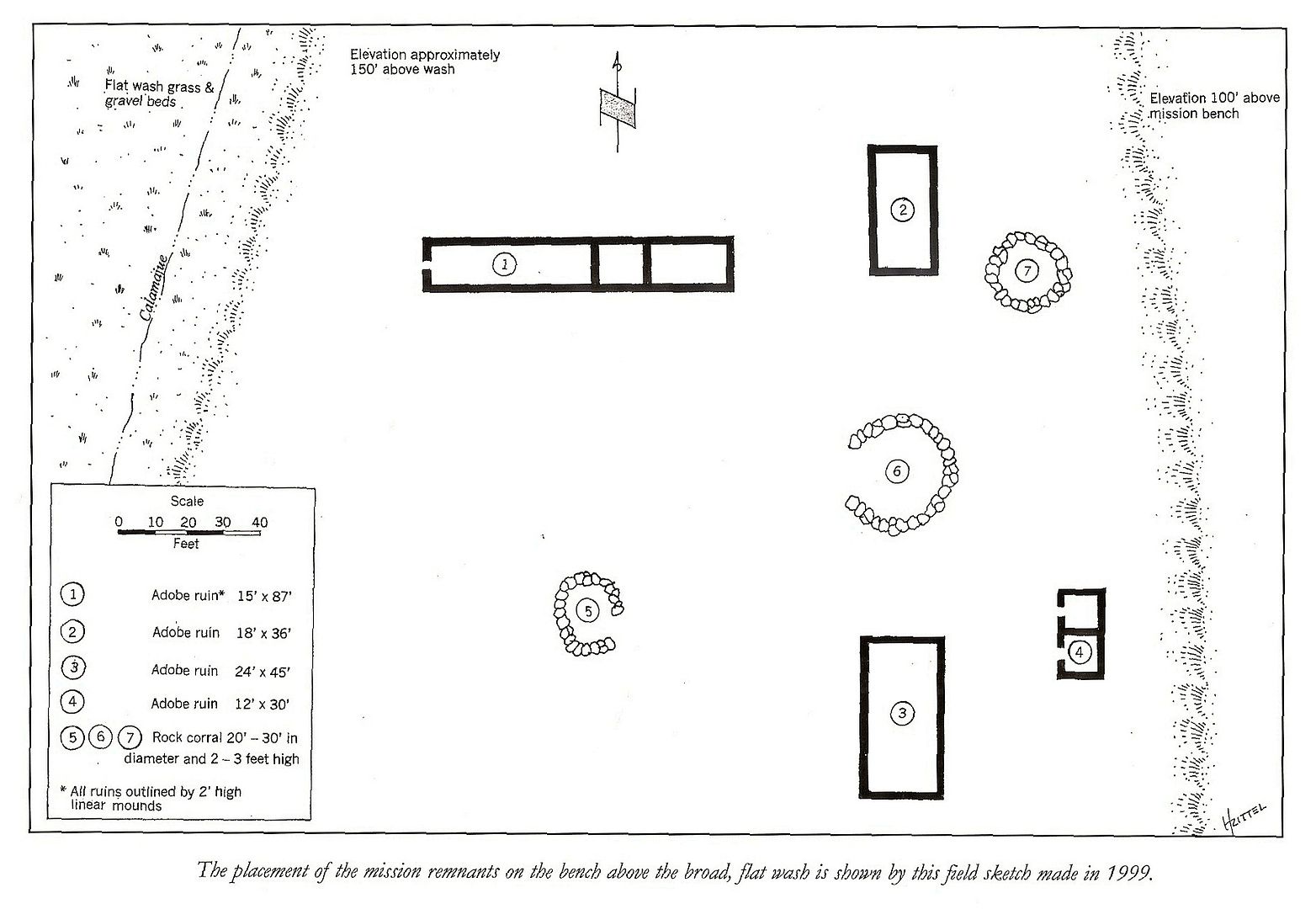
The mounds of dirt remains are maybe 1 foot high showing the 4 buildings.
Three aligned east and west with a space between the one most east and the next two. The mission is aligned north south and north of the others, it may have been two buildings.

The sign board only has a picture of a guy that died and was eulogized there a couple of months ago on one side and the other side has racing stickers on it.

David K - 4-27-2014 at 06:22 PM

Quote:
Originally posted by TW
The mounds of dirt remains are maybe 1 foot high showing the 4 buildings.
Three aligned east and west with a space between the one most east and the next two. The mission is aligned north south and north of the others, it may have been two buildings.

The sign board only has a picture of a guy that died and was eulogized there a couple of months ago on one side and the other side has racing stickers on it.


Thanks Tom, you spent some time looking around the mission site... cool!

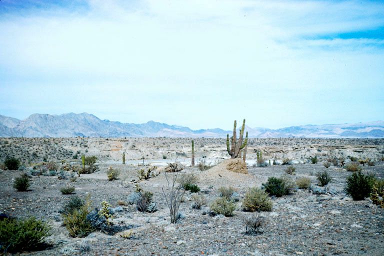
Here is a 1949 photo at Calamajué when there was still a little stub of a wall...


Photo by Marquis McDonald 1949

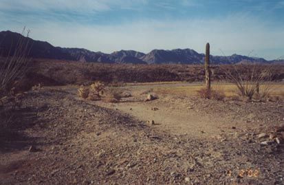
In 2001:


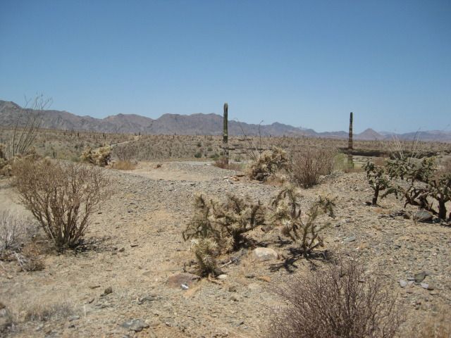
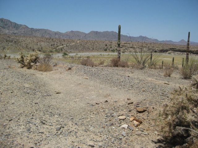
Photos from 2012 nearly the same spot:


There are a couple of small rock-wall corrals, but some have said they are from post mission activity. Workers of the gold ore mill across the canyon/ arroyo from the mission perhaps?

David K - 4-27-2014 at 06:33 PM

Here is a site plan from Ed Vernon's book...


bajaguy - 4-27-2014 at 06:46 PM

Where did they get water??

David K - 4-28-2014 at 08:17 AM

Quote:
Originally posted by bajaguy
Where did they get water??

Arroyo Calamajue is a year-round stream. The water was too heavy with minerals and killed crops. Spanish got drinking water from a well some distance away. The Indians could drink the stream water however.
More details in my article #17 on Discover Baja blog, link posted in the Nomad Articles forum.

TMW - 4-28-2014 at 08:46 AM

David, building 3 above is 2 buildings, that's what the foundation shows now. Corral 6 is moved to the right in line with 7. Didn't see anything of 4 left. Also the rock corrals seem small for a corral, more the size of an indian sleeping circle.