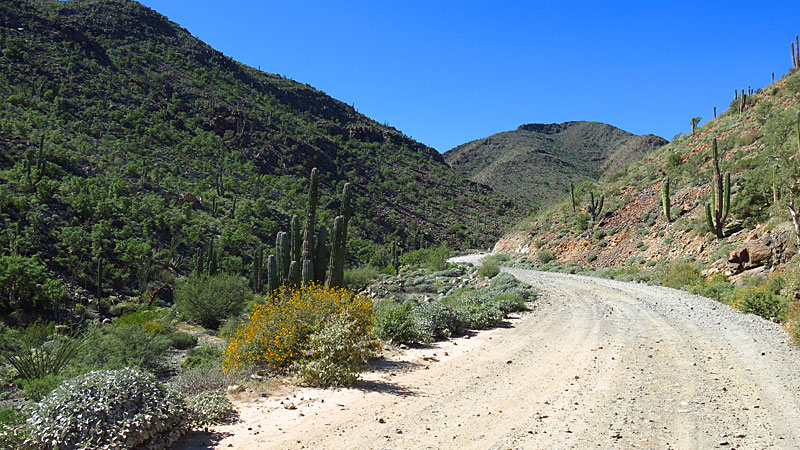
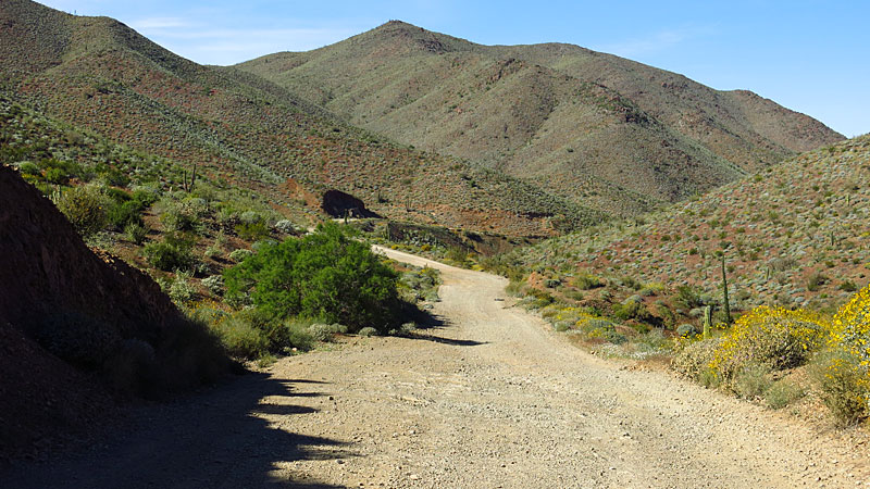
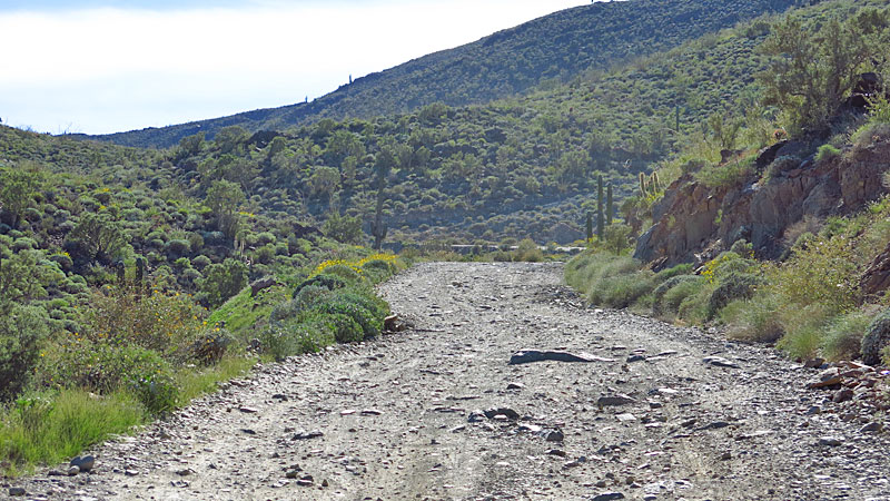
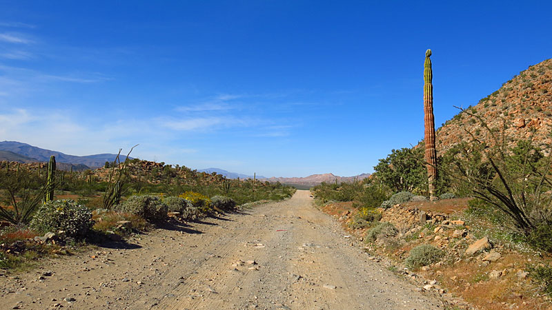
I drove the road a week ago on my way north. Two hours for the last thirty plus miles is about what it takes, but that is with a whole lot of shaking
going on! Most of that stretch has been washed down to cobbles and bedrock, so I would say that the portion used by the Baja 1k was probably
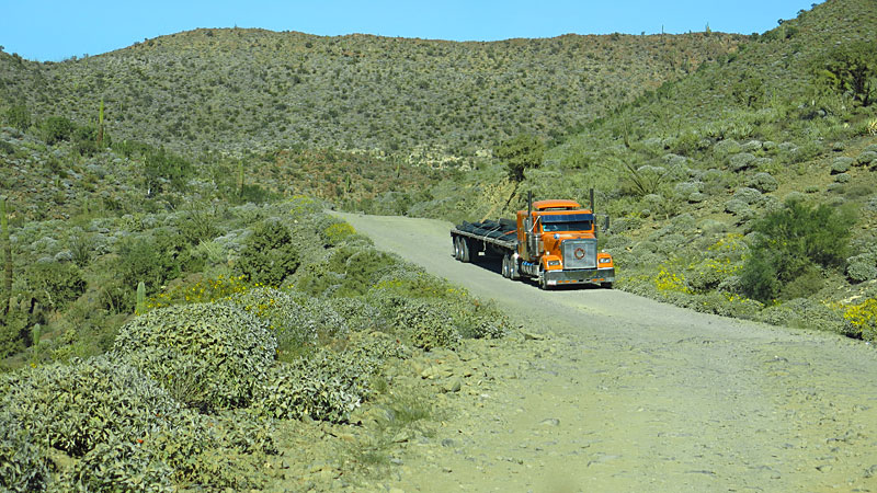
unchanged by the race traffic. However, the first couple of miles of the flats heading north from Mex 1 have been pretty chewed up by heavy truck
traffic and the recovery efforts for one that didn't make it. That is a section that could be repaired by a grader, but I didn't see any sign of men
or equipment working.
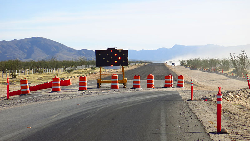
South of Gonzaga they were putting the finishing touches on five or six miles of brand new pavement, but they were not allowing any traffic on it yet.
I am sure it will be open soon.
The Pemex at Gonzaga Bay is usually open, but several of us had to wait a while for someone to show up and sell some gasoline (no diesel available)
If they are closed, the next Pemex is at Villa Jesus Maria, with a couple of private vendors (scalpers) along the route.
Hope this helps, G.L. |