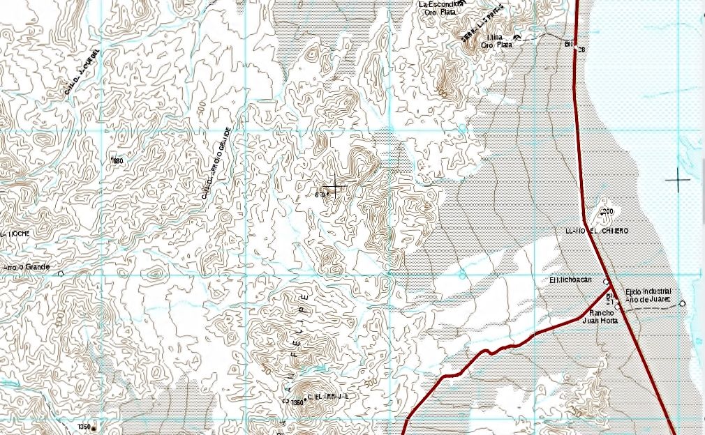
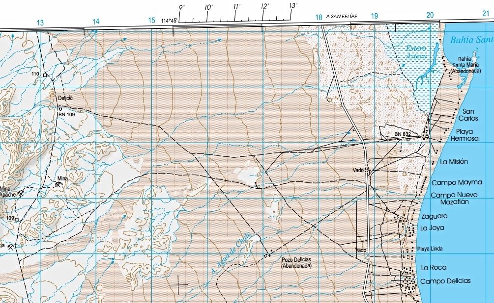
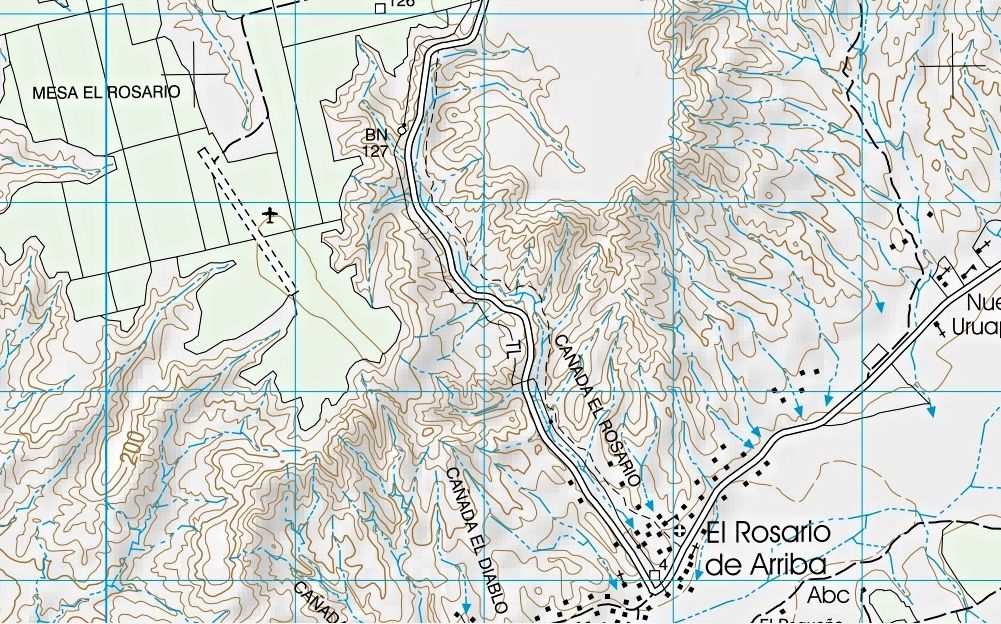
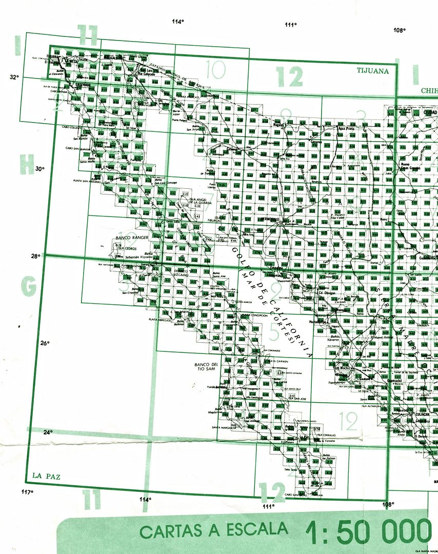
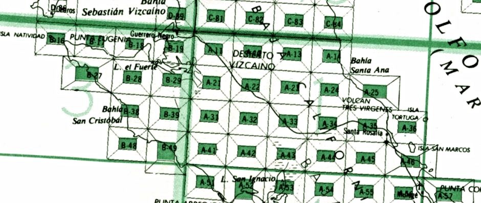
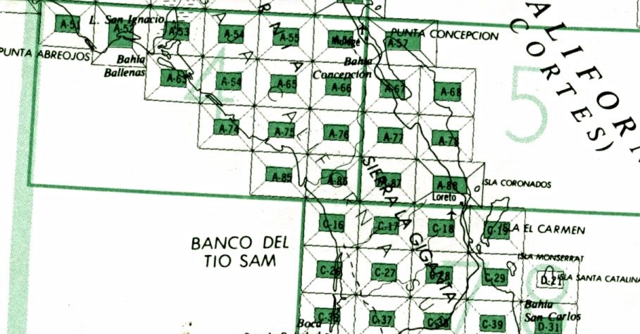
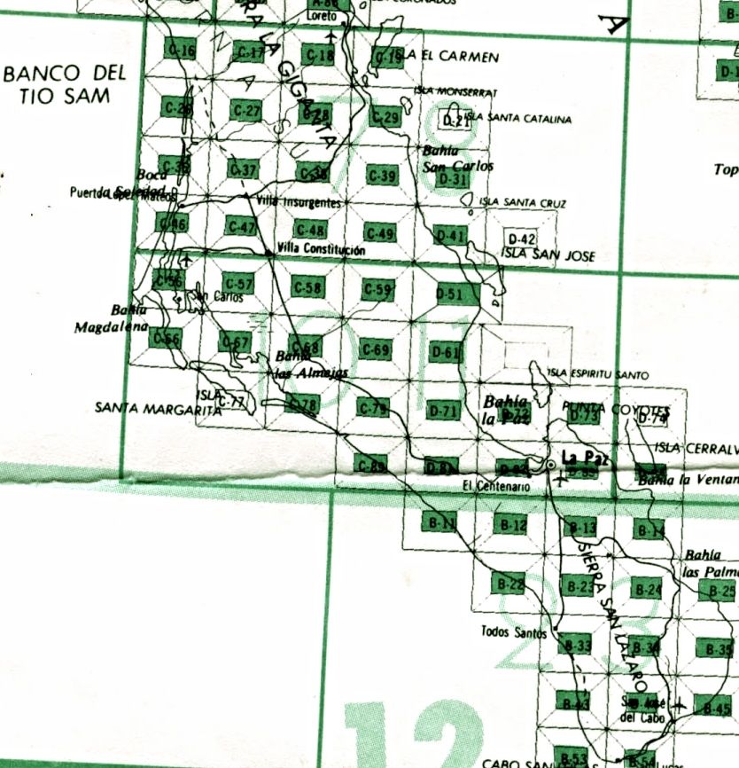
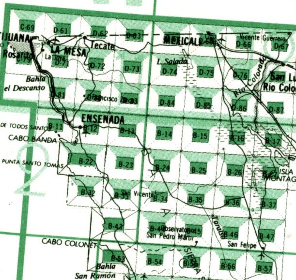
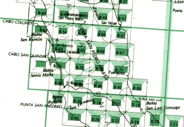
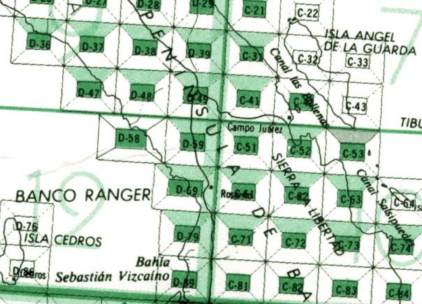
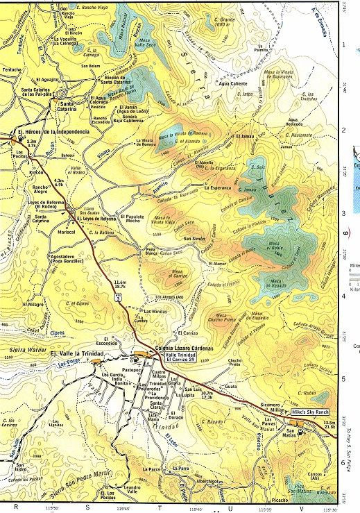
I have been busy downloading the INEGI maps. I have noticed that the 1974 and 1976 maps (and probably many other old versions) that were Datum
NA1927MX have been upgraded to the new Datum ITRF92. This is good because now the topos agree with the Google Earth datum WGS84. And many GPSs used
WGS84 as the default and some older units do not even have a choice of datums and are WGS84. ITRF92 is a huge advantage and now allows picking off
coords off GE and plotting them on the topo because no conversion is required.
Looking at H11B25 which is the study topo for the Pole Line Road I find that included in the process of the datum change several errors have been
fixed. Harald will be interested that “A de Enmedia” is now called “Arroyo” and is now in blue print.
So the exercise to get the latest topo map is a worthwhile effort. Most of the printer shops here in the states have the ability to make hard copy
maps from PDF in the almost D size needed. I found the Inegi dimension is 27” so the printer scales the image to fit his stock of 24” paper. The
re-size is proportional so the width is appropriate. I hope when I get back to San Felipe the cost for printed maps is less than what I paid here in
the Denver area?
You all may be interested in my new project to overlay gps tracks on GE and topos. It will be a long winded effort that I will deal with later. One
thing for sure that effort was a big deal. The bottom line it takes so much time I will not do it again. However my new knowledge of how the images
are created was very enlightening. Very academic exercise.
Paul
|


