
David K - 3-8-2015 at 09:49 AM
I contend that the adobe ruins photographed in 1926, 1949, 1998 and 2009 are the same ruins. What say you?
The background mountains and in particular, the foot of the hill on the left are a point of reference. The photographer locations were all different,
but essentially were north-west and facing south-east. The older two from further north and more south. The newer two, very close and facing more
east.
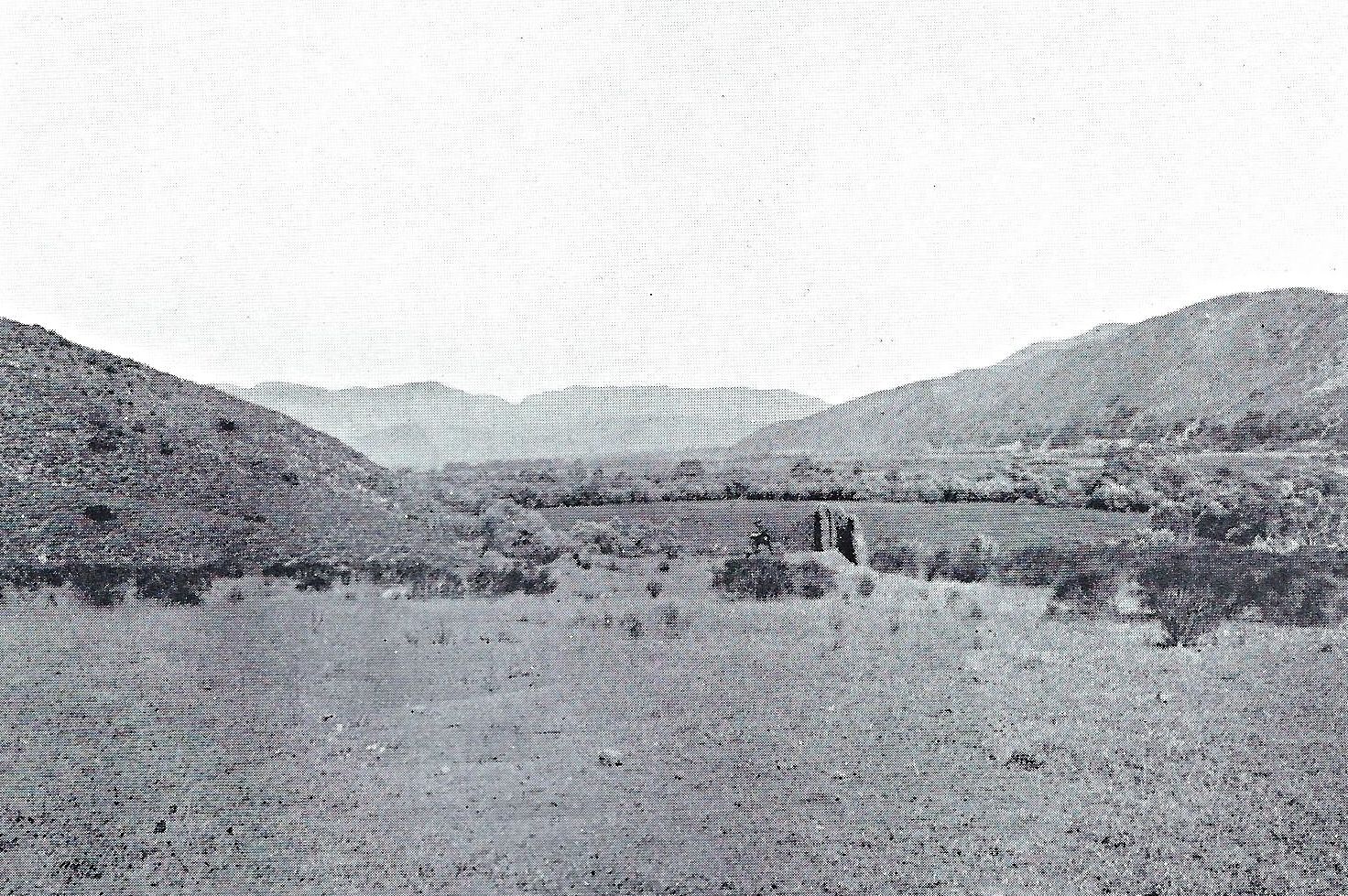
1926
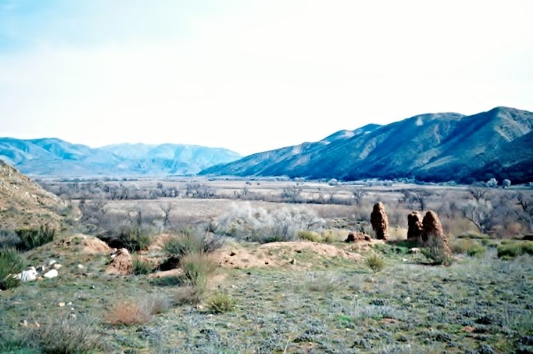
1949

1998
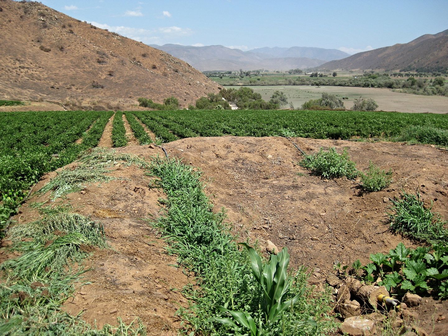
2009
Thanks for your opinions!
==========================================================================================
The ruins, if the same location, are on the map below in the field labeled G, between the 400' and 500' contour lines.
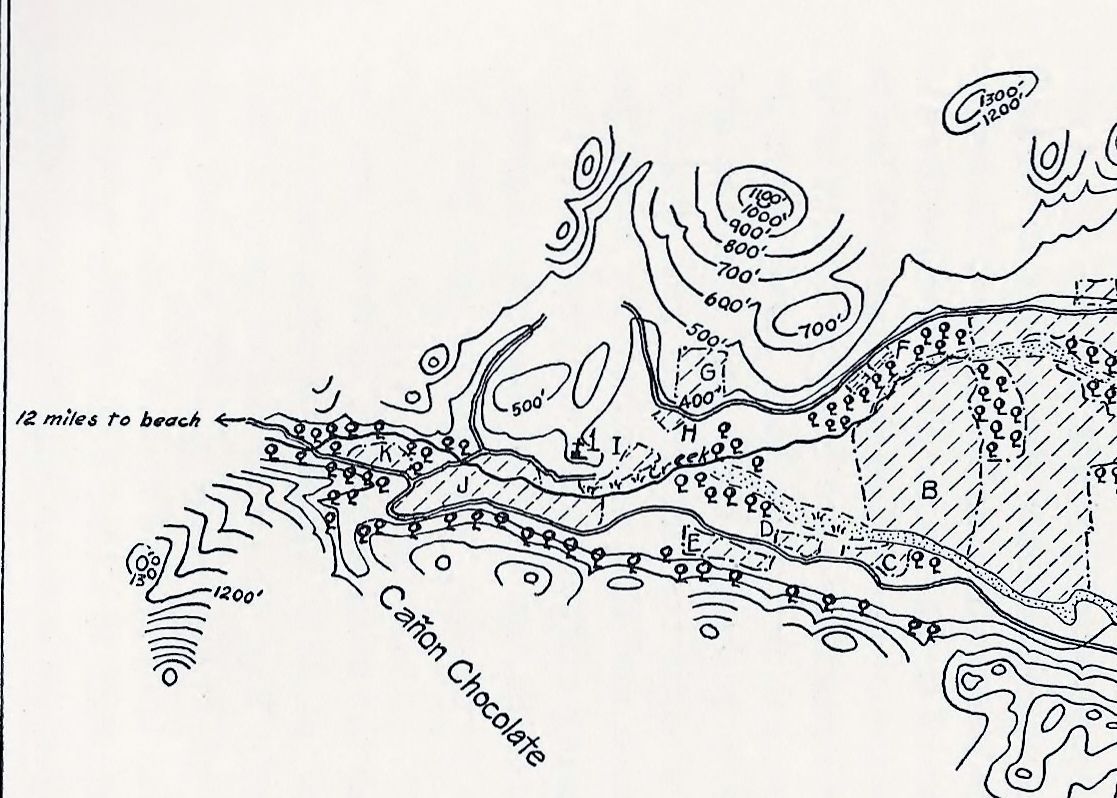
The question is why did Peveril Meigs call the photo the mission but place the mission on his map (labeled 1, next to Field I) several hundred yards
to the southwest on a tongue of the mountainside?
The mapped mission location was said to have been destroyed by road construction.
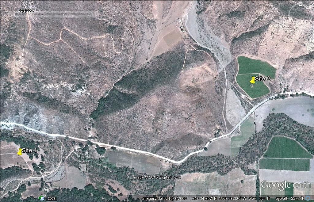
The ruins in the photos (at least the newer two) were taken at Site 2 on the satellite image. I contend all 4 were taken of the same ruins. Site 1 in
the satellite image is Field K on the 1926 map.
Site 2 is a pepper field passed 2.8 miles from Hwy. 1 on the road to Puerto Santo Tomas/ La Bocana. Site 1 is next to a picnic park 3.9 miles from
Hwy. 1 (take road left at Mile 3.4).
==========================================================================================
Please tell me if you think the 4 photos are at the same location.
[Edited on 3-8-2015 by David K]
Barry A. - 3-8-2015 at 11:47 AM
Those first 4 pictures sure look like the same site to me, David.
Barry
Udo - 3-8-2015 at 01:47 PM
I concur with Barry, DK
David K - 3-8-2015 at 03:26 PM
Thank you... I would like to hear from all who looked at the 4 photos in the opening post. Oh, maybe a poll? I have not done a Nomad poll in a long
time!
David K - 3-8-2015 at 03:32 PM
OK, please respond in the new thread with a Poll at the top: http://forums.bajanomad.com/viewthread.php?tid=77983


