I am in San Felipe, actually el dorado ranch. I am looking for some with GPS co ordinates or how to get to apache tears. The small polished obsidian
rock are near Percebu. I have jeep and buggy.
Thanks. David K - 3-18-2015 at 08:14 AM
South of the sulfur mine 1 1/2+ miles, just west off the old Puertecitos road, along the road to Llanos de San Fermin and/or Valle Chico.
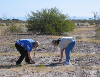
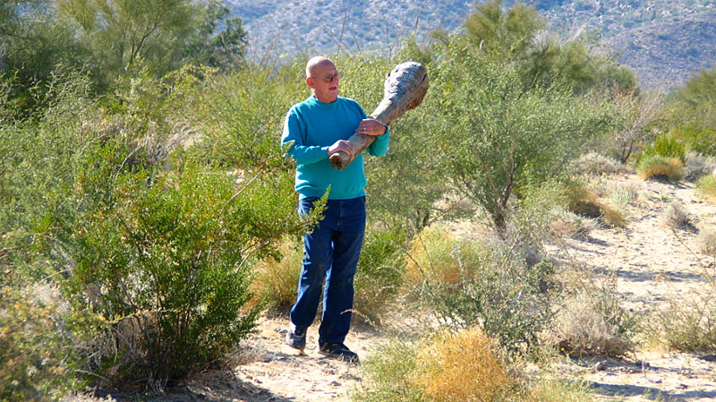
GeoRock and Pat are finding obsidian pebbles, known as 'Apache Tears' laying all over the desert, at our second stop.
GPS (WGS84) at the above photo: 30-41.370'N, 114-47.200'W
[Edited on 3-18-2015 by David K]Tacodawgtim - 3-18-2015 at 08:58 AM
Thanks David. I'm heading that way in a couple days... Tryimg to show some friends different sites near San Felipe.
Pretty amazing. Within 100 miles you have slate mine, quartz mountain, obsidian...Apache tears. Onyx?? The yellow stuff people are calling onyx and
the turquoise mines... Not counting all the other sites..
Thanks again David K - 3-18-2015 at 09:10 AM
There is onyx behind Gonzaga Bay's market... a couple miles... onyx soda springs with some onyx pieces around. Also a bit north, near Miramar/ Okie
Landing was a small onyx mine... I have not been to that one.
I guess you have Bruce Barber's book? He describes all the geologic sites in the region.
David K - 3-18-2015 at 09:19 AM
I think Bruce's Apache Tear site is further south than mine, along the Llanos de San Fermin road... #46 on his map. My photo is closer to #45, which
Bruce calls Crazy Horse Canyon Road (Canada el Parral).
1962 Map:
Tacodawgtim - 3-18-2015 at 09:32 AM
Yes I do have his book. Looking thru it comparing to baja almanac and my GPS... I'm sure I'll find it...StuckSucks - 3-18-2015 at 12:52 PM
I guess you have Bruce Barber's book? He describes all the geologic sites in the region.
When I was working in San Felipe in 2004, I was lucky enough to go on a few desert expeditions with Bruce and his off-road group. Got to see some
really cool desert (I think the Apache Tears trip was one). Of course Bruce was awesome sharing his local desert knowledge. When those guys stopped
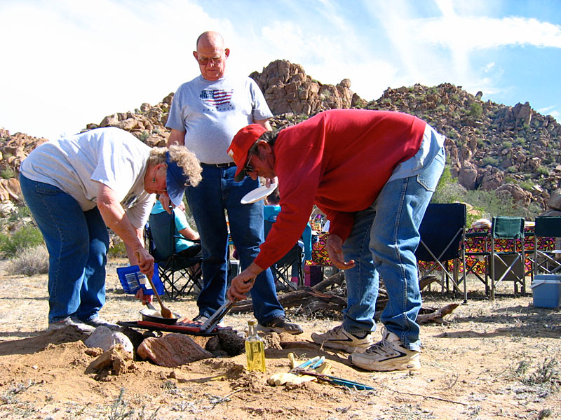
for lunch, they'd set up tables and chairs, start a fire and have hot food with wine in acrylic wine glasses. When it was time to bug out, they'd bust
up lunch camp and be on their way in minutes.
[Edited on 3-18-2015 by StuckSucks]David K - 3-18-2015 at 03:02 PM
Met Bruce at the Pyramid Resort book signing party and we have emailed quite a bit.
As you know, he was very passionate about finding the Lost Diaz Grave using Choral Pepper's story about the Walter Henderson 'rock-pile' discovery in
the 1930's. Choral died before I met Bruce, otherwise I would have made the connection... he tried to communicate with her, but wasn't able. Choral
would have loved his passion for exploration. Sadly, either by accident or intention, her story was not exactly the way Henderson told it on a couple
of points... and that had Bruce in the wrong area, by 10-15 miles. I did feel for Bruce's efforts and sent him a copy of the Henderson letter.StuckSucks - 3-19-2015 at 04:46 PM
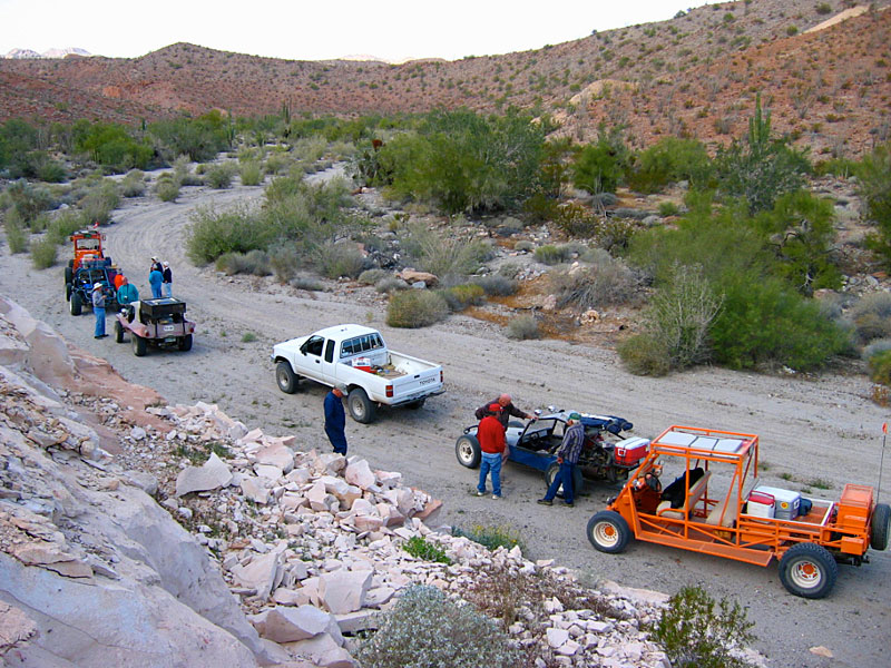
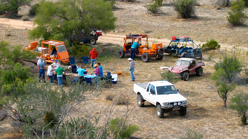
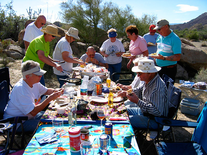
Here's a few photos from a Bruce-led trip on 1/15/2004 - that's me in the white Toyota surrounded by the world-famous orange Barney Cars. Quick! Where
were these photos taken?
David K - 3-19-2015 at 05:05 PM
Bruce looks like he is having fun, and what good food, too!
The fence line road across Valle Chico from Canada el Parral ('Crazy Horse' to Bruce, or 'Azufre Wash' to SCORE) is very familiar. My first time
crossing from the sulfur mine to Valle Chico was in 1978, and we had to make the road passable by moving rocks and looking for ancient tracks
(parallel grass) on the canyon floor. There was no fence across the valley then. The ancient road headed southwest for the opposite side by Parral
Canyon entrance. Next trip the new fence cut off the road and I had a slow drive across the valley along the new fence on newly made tracks... not
fast like it became.
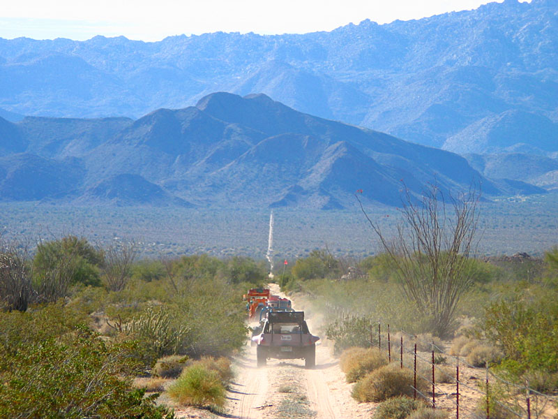
Feb. 2004 Matomi Bound with other Nomads. Bob H photo.PaulW - 3-20-2015 at 07:09 AM
Details given to Tim (Tacodawgtim)
I suspect the area is pretty picked over.
Note in the pic Hwy 5 is actually old Puerticitos roads and the real Hwy 5 is noted. The trip returns via sand canyon. One of Bruce's routes.
Anyway it just a picture to give the location and orientation