[/rquote
Yes, and think about it for a minute, say that you go to a place you believe is Arroyo Grande and years later someone shows you a map and asks, where did you go? You are going to find Arroyo Grande ON THE MAP and say I went there, but it does not mean you were actually there, only that you believe you were there.
Quote: Originally posted by David K  |
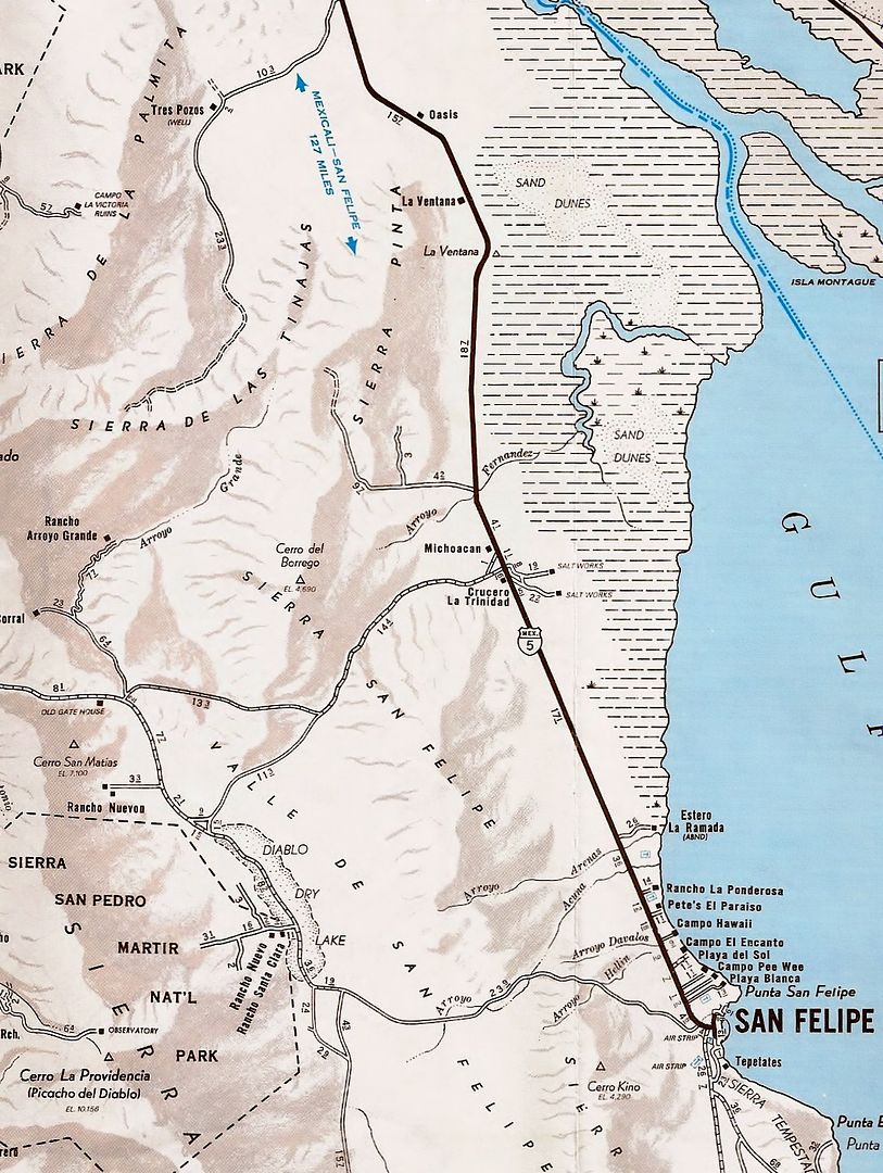
Now, on 1930-era maps, Arroyo Grande is hard to mistake as it is pretty prominent and named. Arthur North explored it in 1905, by name and mentioned the petroglyphs in it. |
15 years later and with access to the same maps Walter would have had plus any newer ones made since 1933 Randall Henderson still went to the wrong canyon, not once, but THREE TIMES!
Quote: Originally posted by David K  |
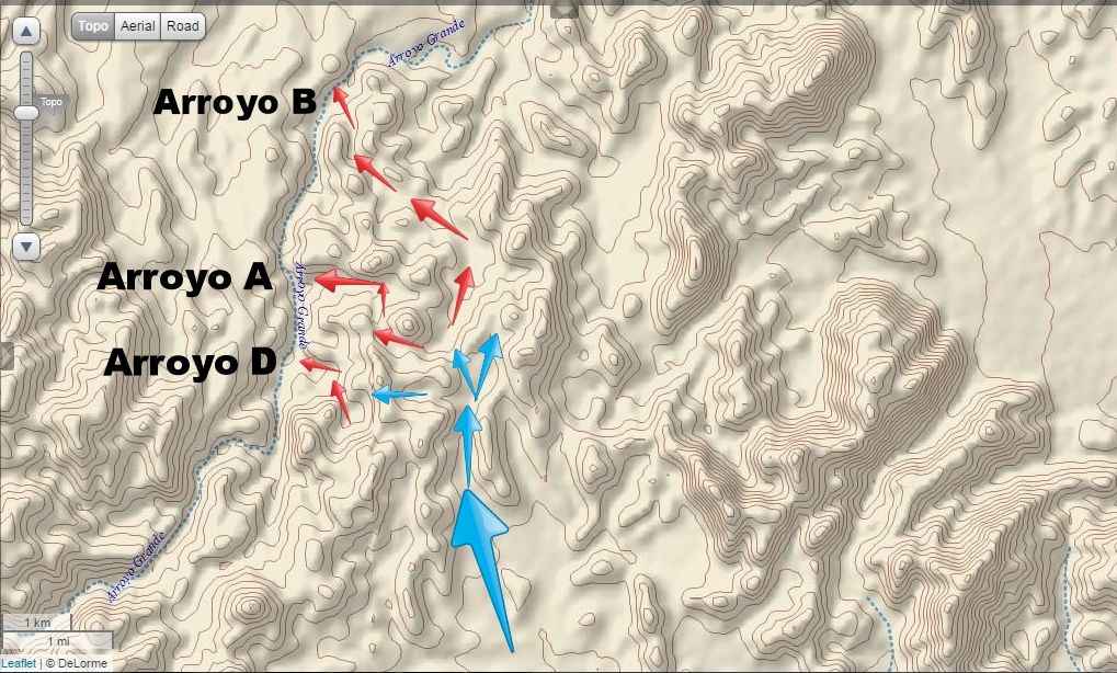
That Walter describes the rockpile as in a ravine that drops down, westward, pretty much limits where to search. The Sierra las Pintas (Pinta) has several west flowing ravines. |
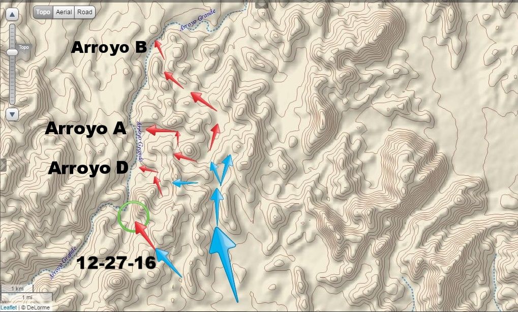
Yes, and if you look at the area I marked as a possible search area, you will see a spur of hills flowing North/South which means the drainages are East/West just as Walter described. Along with the secondary directions of flying from Sharps peak to an unnamed peak which you do not discuss.
Quote: Originally posted by David K  |
The reason I began my searching in the northern washes flowing west into Arroyo Grande is that Walter wrote he and is friend wanted to get to the Sierra las Tinajas (to find blue palms) and they realized they drove in (west) from the San Felipe road, too far south. So, when they parked, they would hike northwest instead of west. UNLESS, he realized he was too far south AFTER they hiked to the top of the Las Pintas range... and dropped into Arroyo Grande. ??? |
The impression I get is they realized they were to far south AFTERWARDS, if they knew it at the time why even continue? Why not get back in the car and drive closer, since they would have to drive North to get closer and North was the way home anyways?
Quote: Originally posted by David K  |
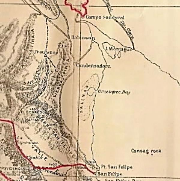
Now, here is a map that Walter may have had... It was published in 1919 by Edward Nelson (researched in 1905). It clearly names El Borrego Mountain, Arroyo Grande, Arroyo El Tule (Jaquegel), etc. Sorry, this blow up is a tad blurred... |
Or not had or misread or....?
[Edited on 4-3-2017 by Fatboy]


 No wonder so many 'lost treasures' stay just that!