BajaNomad

San Juanico North Rd Directions

WestyWanderer - 7-23-2015 at 11:07 PM

Hey guys,

Looking for help with regards to San Juanico north road directions (both salt flats and high road). I don't know if anyone has turn by turn or odometer directions (that they're willing to share :) ) or even better a GPS track that I could download. I have been down to Scorpion via the east and south roads but would like to try the north road and my map (AAA) doesn't instill much confidence in me so I'm turning to the experts!

Thanks so much for any and all help.

Sincerely,

The newbie

woody with a view - 7-24-2015 at 05:51 AM

if you have any hair at all you'll just hit the road, like thousands before you and find your way. like thousands before you!

chuckie - 7-24-2015 at 06:34 AM

+10

merlin - 7-24-2015 at 06:44 AM

That was helpful… good job Nomads!

Westy, you are in luck because going south is relatively easy - all the roads lead to the same place. My best advice is to look for someone else that knows the way and follow them the first time. If you are staying in GN or SI the night before chances are good that you'll run into someone going your way.

Otherwise, send me a pm and I'll give you some directions - it's a bit long so might be better in a private message.

Best of luck and stop by to say hello when you get here.

Ateo - 7-24-2015 at 07:04 AM

Let's go now Westy! Leaving San Ignacio in 30 minutes!

willyAirstream - 7-24-2015 at 07:44 AM

Westy, before you leave san nacho, ask about current road conditions to SJ. Rodrigo, RMZ racing, at the auto mechanic shop at the south tope or any dirt biker. We went from Mulege to SJ 2 weeks ago and it has changed dramatically. Also, be aware that there is an off road race in San Nacho, Ignacio on Aug 1st using roads south of town and cars will be pre running the week before. You should have no trouble in your combi, but it may take more time than expected.

TMW - 7-24-2015 at 10:06 AM

The high road by way of El Cuarenta is a little confusing north of the rancho. The main road was washed out and you use a road that goes east and west until meeting the road to El Datil. We did it in April. I would suggest using the low road or what some call the salt flats road thru El Datil. The 2014 SCORE Baja 1000 course file has a GPX, USR and KML file. If you U2U me with your email addy I'll send it to you or it may still be up on the SCORE web site.

http://score-international.com/

WestyWanderer - 7-24-2015 at 12:13 PM

Quote: Originally posted by Ateo  
Let's go now Westy! Leaving San Ignacio in 30 minutes!


I wish! Have fun down there! Are you staying down in Scorpion Bay? Give us a surf report if you are!

WestyWanderer - 7-24-2015 at 12:16 PM

Quote: Originally posted by woody with a view  
if you have any hair at all you'll just hit the road, like thousands before you and find your way. like thousands before you!


Woody is this you? The Woody that lives at 4th point that used to work in Laguna Beach?

merlin - 7-24-2015 at 01:18 PM

We had some rain in the area the past couple of days. I heard the north and south roads are not passable. It's dry today so it should be open by tomorrow.

WestyWanderer - 7-24-2015 at 02:09 PM

Thanks for all the help so far, we are not looking to go down until the end of September so I will post again about conditions just before that, I am just hoping to get a better idea of the route now because I'm dreaming/salivating/impatiently waiting to head down!

woody with a view - 7-24-2015 at 07:34 PM

Quote: Originally posted by WestyWanderer  
Quote: Originally posted by woody with a view  
if you have any hair at all you'll just hit the road, like thousands before you and find your way. like thousands before you!


Woody is this you? The Woody that lives at 4th point that used to work in Laguna Beach?


CHA'LE.

WestyWanderer - 7-24-2015 at 09:31 PM

Quote:
Quote: Originally posted by woody with a view  
Quote: Originally posted by WestyWanderer  
Quote: Originally posted by woody with a view  
if you have any hair at all you'll just hit the road, like thousands before you and find your way. like thousands before you!


Woody is this you? The Woody that lives at 4th point that used to work in Laguna Beach?


CHA'LE.


Cha'le?? Is that a yes?

Ateo - 7-25-2015 at 07:18 AM

North Road was impassable via salt flat route just south of Datil. Arroyo too large to cross. We waited a few hours and made it across later, washing the salt and mud from the undercarriage that we accumulated during a bad decision earlier in the day. Throw in a broken down truck in middle of the only lane and it was quite a day! Always an experience............Time to go get wet. Surf is tiny! Heard the South Road was impassable for a period as well.

woody with a view - 7-25-2015 at 07:33 PM

way to get out and do it!

Westy, no!

WestyWanderer - 7-25-2015 at 09:59 PM

Quote: Originally posted by Ateo  
North Road was impassable via salt flat route just south of Datil. Arroyo too large to cross. We waited a few hours and made it across later, washing the salt and mud from the undercarriage that we accumulated during a bad decision earlier in the day. Throw in a broken down truck in middle of the only lane and it was quite a day! Always an experience............Time to go get wet. Surf is tiny! Heard the South Road was impassable for a period as well.


Not sure how long you're down for but there should be some waves headed into Scorps middle of next week!

skibum - 7-26-2015 at 07:08 AM

Quote: Originally posted by WestyWanderer  

Not sure how long you're down for but there should be some waves headed into Scorps middle of next week!


There will likely NOT be waves of any significance "headed into Scorps" next week. That swell is too far south and with all the sand gone it's barely breaking when there are waves. It's worth checking with someone you know who has been down in the last two months to understand what to expect.

As for the road, both North and South have had water in the arroyos. Some days impassable, some days passable. A guy crossing south had his truck washed down the arroyo a few days back - he was able to swim to safety. Check with the locals before leaving San Ignacio or Insurgentes. People are getting in and out, just not necessarily when they had planned to.

oladulce - 7-26-2015 at 08:39 AM

Quote: Originally posted by WestyWanderer  

Woody is this you? The Woody that lives at 4th point that used to work in Laguna Beach?


Westy, the "Woody" you're talking about is my husb. We don't have travel plans for the near future and we should be around if you'd like to stop by. If you know that much about him, he'll probably be happy to see you ;)

Skibum's comments are refreshingly honest about both the lack of waves (no sand) and frequently changing travel conditions. Heavy tropical moisture is in the air and lots of thunderstorms in the mountains and over the mesas in the past several days. Thunderstorms can develop rapidly throughout the day and won't usually drift out to the coast so it's dry out here but it can be pouring a few miles inland causing the arroyos you have to drive through to fill up or flow. This is true for both the North and South roads in to town. Conditions can change daily and it looks like it's going to be an active weather season.The best you can do is choose the safest travel plans based on your vehicle's capabilities and allow a few extra days for unexpected events if you will have to get back to work.

WestyWanderer - 7-27-2015 at 08:48 AM

Quote: Originally posted by oladulce  
Quote: Originally posted by WestyWanderer  

Woody is this you? The Woody that lives at 4th point that used to work in Laguna Beach?


Westy, the "Woody" you're talking about is my husb. We don't have travel plans for the near future and we should be around if you'd like to stop by. If you know that much about him, he'll probably be happy to see you ;)

Skibum's comments are refreshingly honest about both the lack of waves (no sand) and frequently changing travel conditions. Heavy tropical moisture is in the air and lots of thunderstorms in the mountains and over the mesas in the past several days. Thunderstorms can develop rapidly throughout the day and won't usually drift out to the coast so it's dry out here but it can be pouring a few miles inland causing the arroyos you have to drive through to fill up or flow. This is true for both the North and South roads in to town. Conditions can change daily and it looks like it's going to be an active weather season. The best you can do is choose the safest travel plans based on your vehicle's capabilities and allow a few extra days for unexpected events if you will have to get back to work.


I'm sure his is level of excitement towards my arrival would depend on how big the crowd is and how good the waves are! I hope this message finds you well, thank you for the heads up with regards to the travel conditions.

Really, I'm fairly comfortable heading down the north road and would, of course, check with locals on road conditions. I'm just doing a little homework and utilizing the modern day word of mouth to possibly make my travels a little easier. I won't be heading out until late September and truthfully, am not totally sure we are going to be going to San Juanico, we have 10 days to travel and will go where ever the surf takes us. I'm just getting antsy and am looking forward to heading down and am hoping it can be to Scorpion Bay.

I hope you guys have fared well over the last year and a half with regards to storms and have scored some good, uncrowded days. Please tell Woody I say hi, this is Brent Smith, Bryan Sargeant's friend from San Clemente. I will try and recontact again if I do head your way in hopes that we can meet up for pizza or something. Take care

Bump for Marisad

AKgringo - 8-4-2015 at 05:45 PM


Ateo - 8-4-2015 at 05:50 PM

You may have to cross this arroyo! Last weekend......the river was flowing.

http://youtu.be/ECQsdxtiawA

Sweetwater - 8-5-2015 at 08:12 AM

Wow, nice vid Ateo.

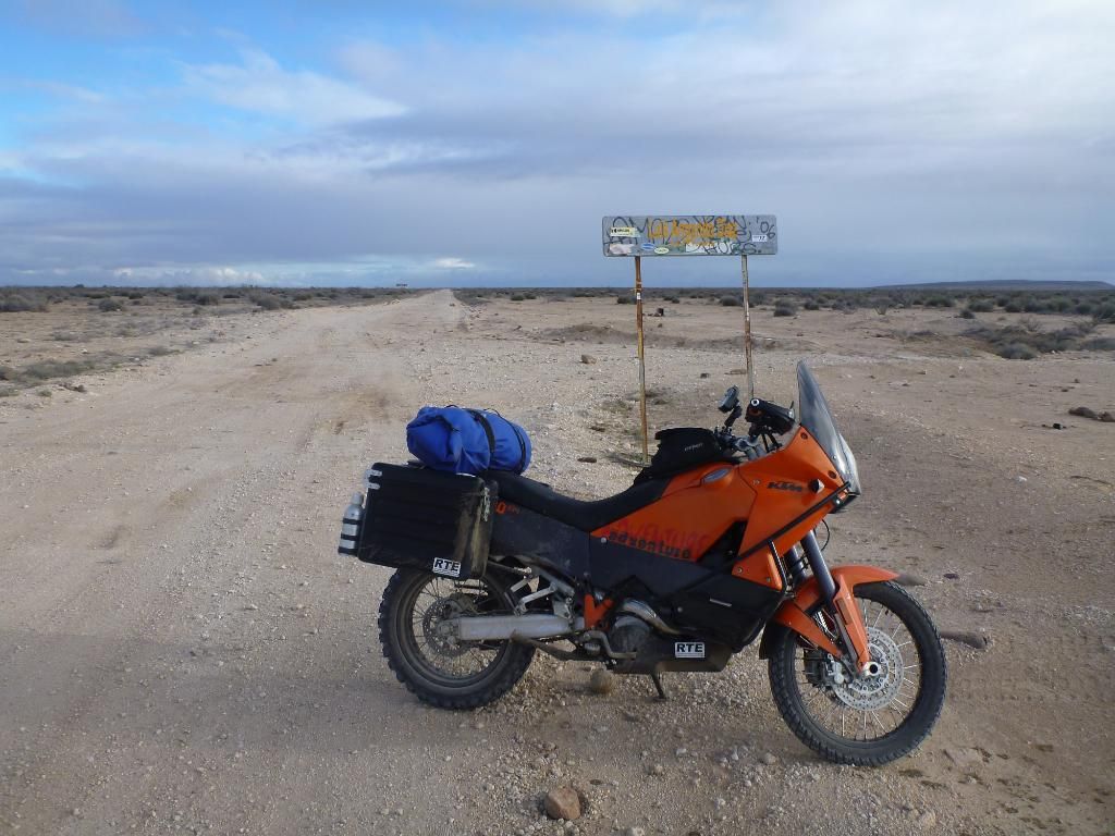
Having posed the same questions several years ago, it's now amusing to watch the same responses.....with the mod that we were on big moto's.....just pin it across the sand dunes and try to stay on the packed sand when possible....

When we actually got there, we were fortunate that the arroyos were not flowing, the kids in Datil were thrilled to see us, we got separated and 1 bike made it to SJ much earlier than the 2 others....the major factor is the weather, nothing in Baja is consistent because of the changes created by water and wind. Somebody in San Ignacio will have an idea of conditions but the better informed folks will be at the campos by the Laguna. Once past Datil, you really need to pick your directions carefully and the weather gods need to smile upon you.

I know we would not have been able to cross the arroyos that flowed like the video......be sue to wash off any and all the sand/salt you pick up on the trip, it will quickly corrode if left on your ride.....


[Edited on 8-5-2015 by Sweetwater]

StuckSucks - 8-5-2015 at 11:34 AM

Quote: Originally posted by Ateo  
You may have to cross this arroyo! Last weekend......the river was flowing.

http://youtu.be/ECQsdxtiawA


¡juevos!

WestyWanderer - 8-5-2015 at 12:27 PM

Quote: Originally posted by Ateo  
You may have to cross this arroyo! Last weekend......the river was flowing.

http://youtu.be/ECQsdxtiawA


Whew!

Did you guys score any surf?

WestyWanderer - 8-5-2015 at 12:29 PM

Quote: Originally posted by Sweetwater  
Wow, nice vid Ateo.

Having posed the same questions several years ago, it's now amusing to watch the same responses.....with the mod that we were on big moto's.....just pin it across the sand dunes and try to stay on the packed sand when possible....

When we actually got there, we were fortunate that the arroyos were not flowing, the kids in Datil were thrilled to see us, we got separated and 1 bike made it to SJ much earlier than the 2 others....the major factor is the weather, nothing in Baja is consistent because of the changes created by water and wind. Somebody in San Ignacio will have an idea of conditions but the better informed folks will be at the campos by the Laguna. Once past Datil, you really need to pick your directions carefully and the weather gods need to smile upon you.

I know we would not have been able to cross the arroyos that flowed like the video......be sue to wash off any and all the sand/salt you pick up on the trip, it will quickly corrode if left on your ride.....


[Edited on 8-5-2015 by Sweetwater]


Thanks for the help Sweetwater. I have been looking at the road on Google Earth and have written down GPS coordinates for any turns. I am looking forward to the adventure and we will see where the road takes us!

Tomas Tierra - 8-5-2015 at 02:51 PM

THE most important part of taking the salt flats route is following recent tracks. If no tracks exist you may face what happened to Ateo in the mud, likely much worse. There is always a way around the soft flats..
When the big arroyo is flowing?? Well, I've never seen that..

TT

BigWooo - 8-5-2015 at 03:09 PM

Westywanderer check your U2U. It's on the upper right of the page.

Ateo - 8-5-2015 at 07:13 PM

Yep Tomas, I made a mistake in the flats because I was so amped up and let it cloud my mind. I've taken that road many times and never done something so stupid. Did I post the video of the mud and salt flat fiasco yet?

Fresh tracks are no guarantee!

AKgringo - 8-5-2015 at 07:56 PM

Quote: Originally posted by Tomas Tierra  
THE most important part of taking the salt flats route is following recent tracks. If no tracks exist you may face what happened to Ateo in the mud, likely much worse. There is always a way around the soft flats..
When the big arroyo is flowing?? Well, I've never seen that..

TT


I was following the markers for the Baja 100 course last October when I came to an area that was getting drifted over with sand, right at the second water crossing.
I followed some well defined tracks and barely made it through pulling a small off road trailer. It became clear that the tracks were made by one or more pre-runners or other rigs that were more capable than mine.

It took me hours of bush whacking, dead ends, and some jack and shovel work to find a way back to the correct route. I didn't want to take another shot at that muddy crossing.

But I got out without help, so....a very good day!


Edit; Full disclosure, if I had gotten out of my car and spent ten minutes checking things out before I followed those tracks, the drive would have been a lot less dramatic and a few hours shorter!

[Edited on 8-6-2015 by AKgringo]

Tomas Tierra - 8-5-2015 at 08:08 PM

Ateo

I thought I saw a picture of you on the other side of a big deep mud flat on this thread. No? Musta been FB...