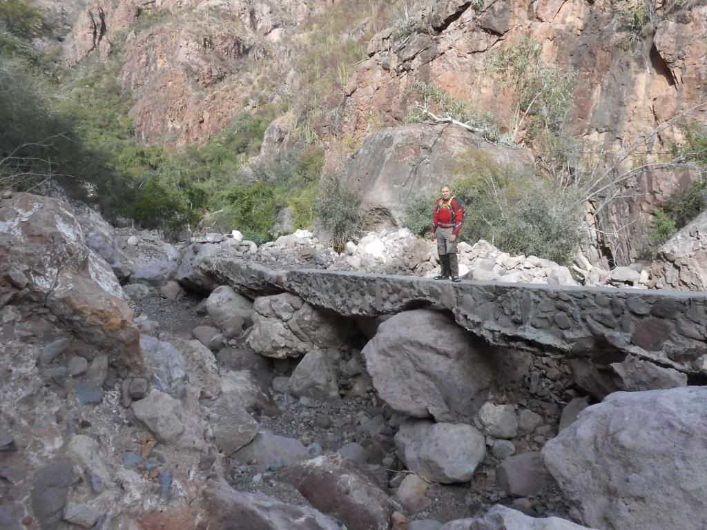
I tried riding from Guadalupe to San Jose de Magdalena last Spring and as soon as I was over the summit I hit areas where the combination of down hill
and loose rocks sliding around made it just stupid to continue solo. When Al gets his hind quarters down here so I have a backup rider, we will go
down further to take scary pictures. The locals I have tried to recruit for such a venture have used the bully's line from The Simpsons. "Ha, Ha."
The ranch wife at La Presa laughed at the idea of making it through either East OR West from her house. She said, "Lagartos solamente!" (lizards
only).
As I said, I will go see how far I can get going in from Magdalena. There's supposed to be a rancho up that road past the village that has decent
cheese. |


 Laia?
Laia?

