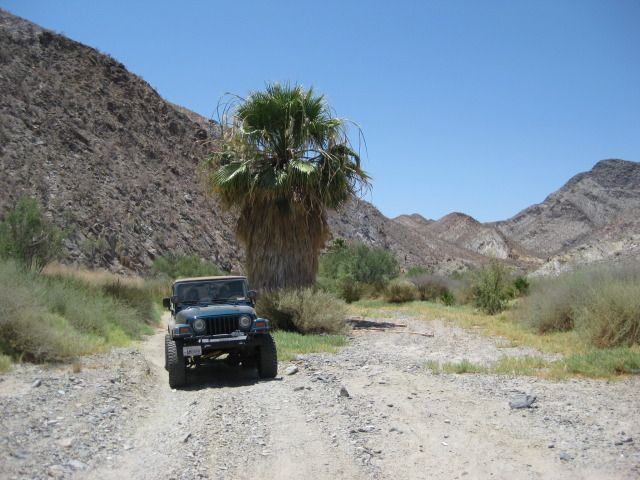
Southbound, between Coco's Corner and Arroyo Calamajué (arroyo is located where the hills are in the distance, about 5 miles south)...

----------------------------------------------------------------------------------------------------------------------
At the edge of the arroyo, by the gold ore mill ruins, just before the road drops down into the arroyo...
-----------------------------------------------------------------------------------------------------------------------
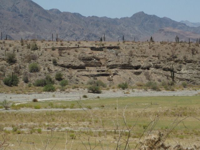
The remains of the short-lived Jesuit mission church (October 16, 1766-May 1767) located on the opposite side of the arroyo from the mill ruins. See
the road dropping down to the arroyo across...
----------------------------------------------------------------------------------------------------------------------
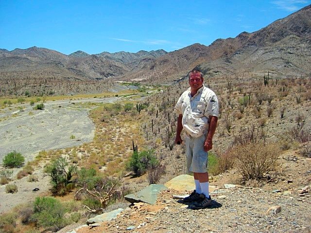
Gold mill ruins as seen from the mission site...
-----------------------------------------------------------------------------------------------------------------------
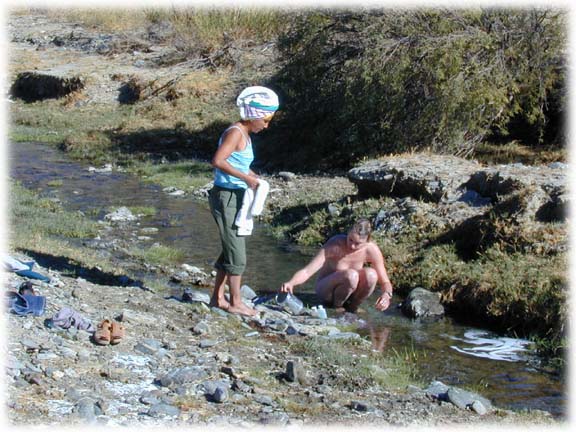
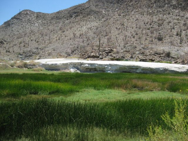
Mineral shelf just inside the canyon entrance, south from the mill and mission...
---------------------------------------------------------------------------------------------------------------------
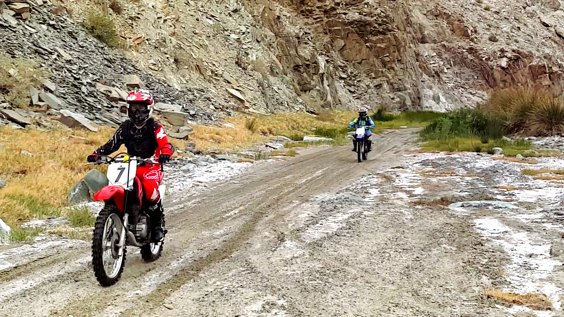
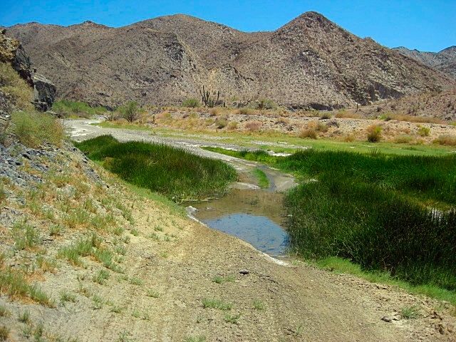
The road drives right in the streambed for a few miles.
Deepest water in July 2012...
-----------------------------------------------------------------------------------------------------------------------
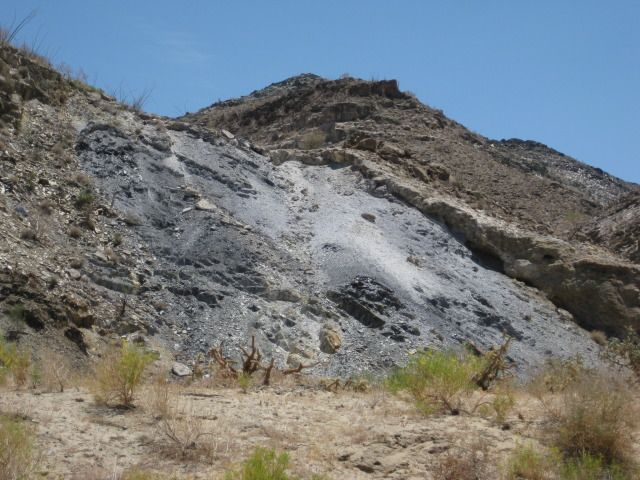
Lot's of mineral coloring in the cliffs...
---------------------------------------------------------------------------------------------------------------------
Lone palm tree just out of water portion of the road...
-----------------------------------------------------------------------------------------------------------------
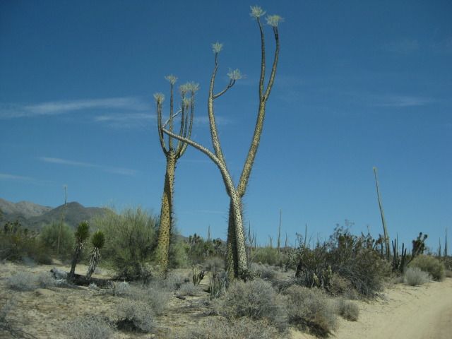
Once out of the canyon and heading to Hwy. 1 at El Crucero, we find these "dancing" boojum trees...
--------------------------------------------------------------------------------------------------------------
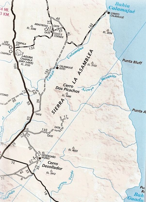
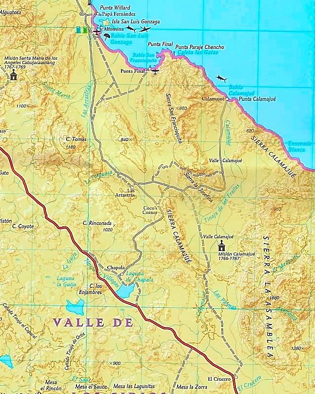
On a map:
[Edited on 3-11-2019 by David K] |