Great thread! Some expert moto riding for sure in the (long) video.
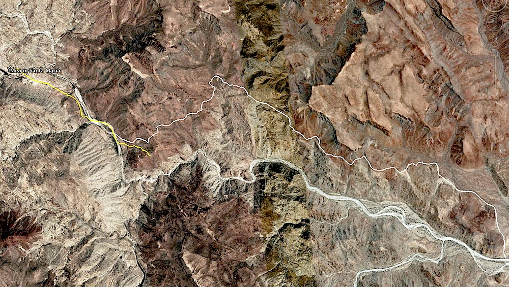
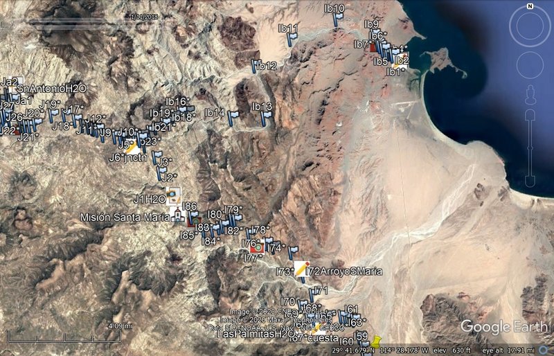
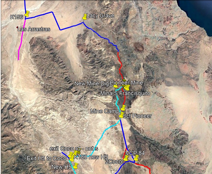
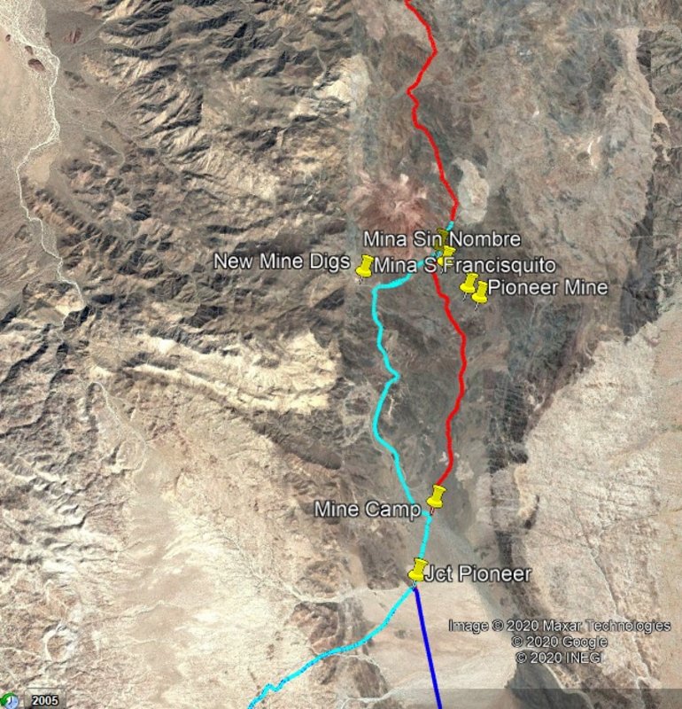
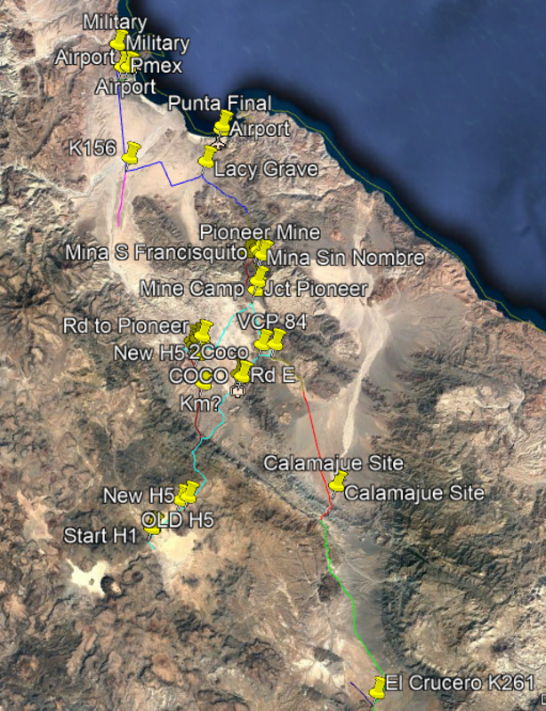
I can clearly see the old trail in the moto video, at least parts of it. Since Mission Sta. Maria was abandoned in only a year or two, they must have
never really finished the trail. Very rocky country. Hiking overland in that terrain is very tedious. This trail was a briefly used shortcut from
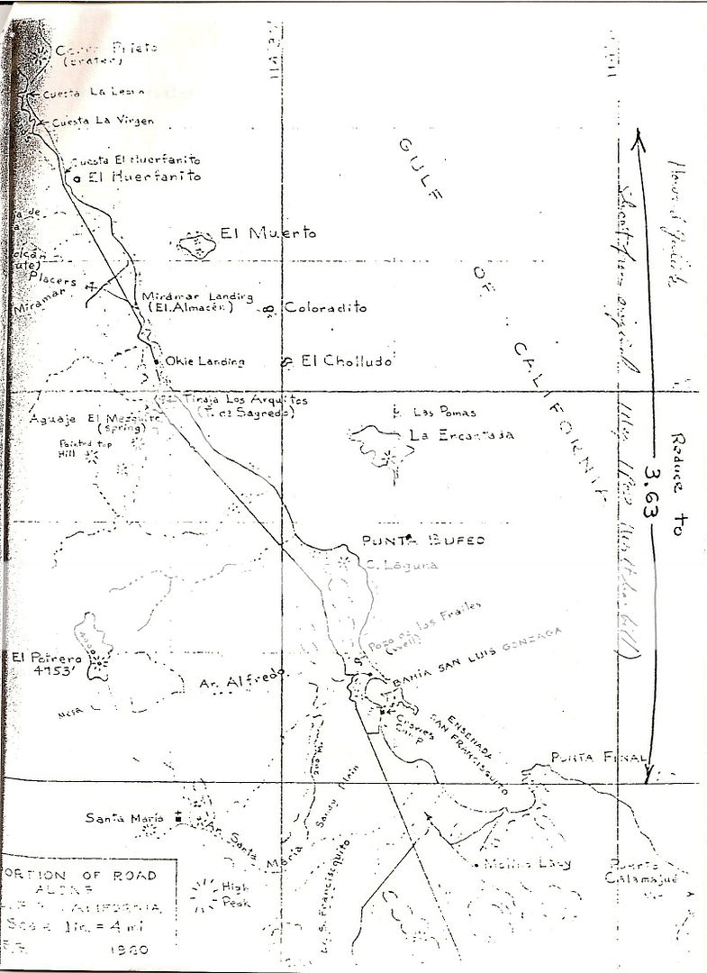
El Camino Real in the high country down to the landing at Gonazaga. After the trail was abandoned, the much better trail down Calamajue Arroyo
continued to be used, and has been to this day --
I think Ken C. was joking when he said someone towed a trailer down the canyon. |


 . Waiting until payday to have all of
these photos restored to my BAN threads.
. Waiting until payday to have all of
these photos restored to my BAN threads.