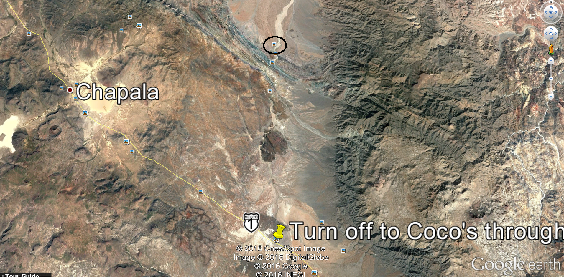
I'll read the report for sure. Give me some highlights. How far from Coco's. How long to the highway, etc.
I'm riding with my two boys and was thinking to send my truck down the normal way with my friend.
Riding motos? Look it up on youtube, somebody posted the ride from cocos all the way to el crucero which is where you'll come out to the highway.
|