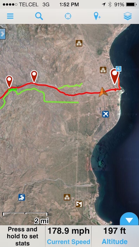
| Yes, agree with the others. Motion X is great. I first started using it for work as a data gathering and navigation tool in the cell-coverage free
wilds of the desert SW, and now use it anytime I'm in the backcountry--work or play. For Baja one can download high detail satellite imagery for use
offline and out of cell range (meaning instead of relying on maps of varying quality, you can use recent satellite imagery--doesn't get more accurate
than that). And you can upload gpx files showing waypoints and routes...makes navigation a piece of cake if you spend some time before hand to draw
out some routes. I'm glad I didn't have it when I first started going to baja, or I probably wouldn't of had those I'm lost mishaps that led to new
discoveries, but I'm glad to have it now. |