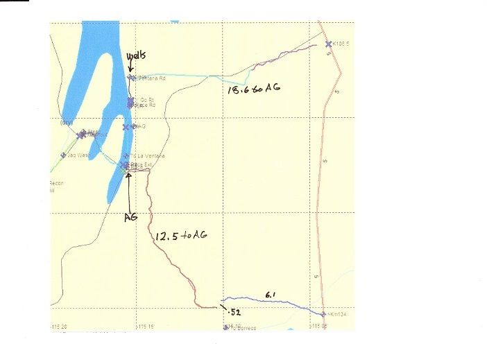
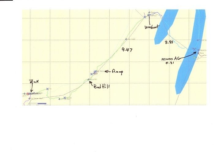
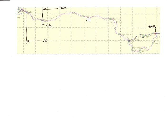
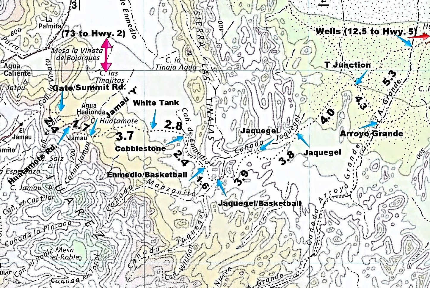
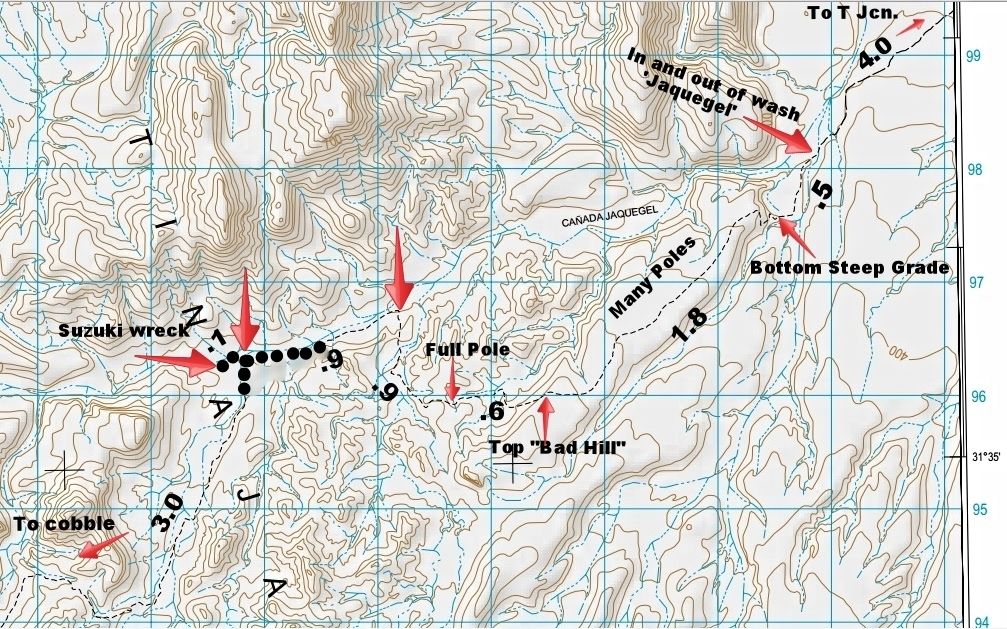
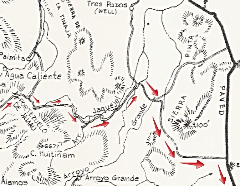
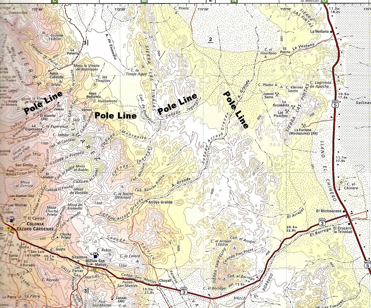
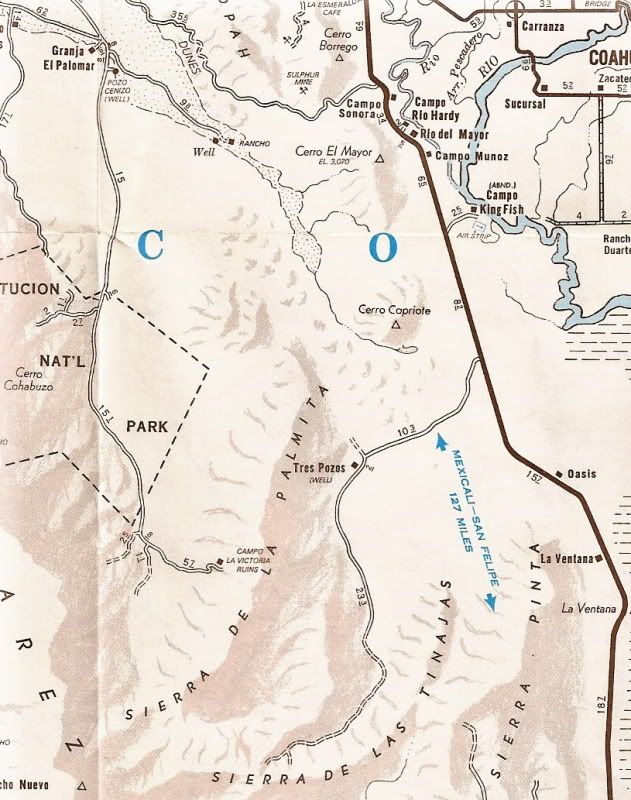
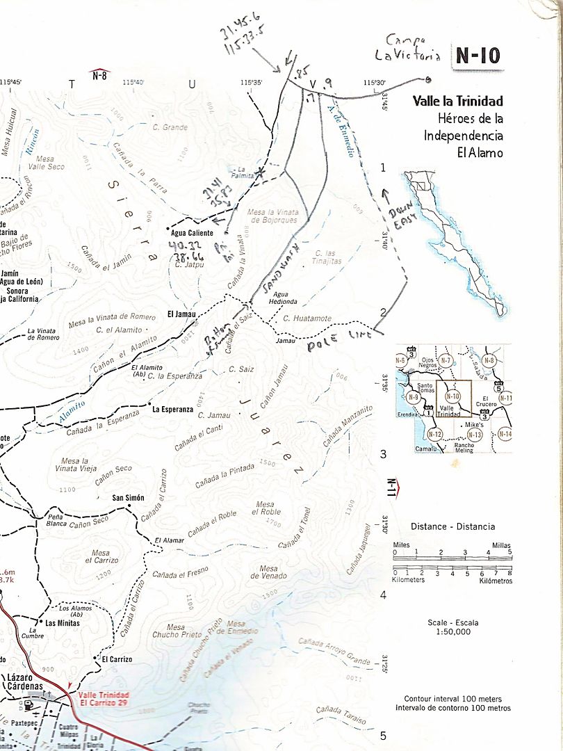
the alternative for Cyn Saiz is as old as the Pole Line Road (yellow/green lines in the picture)
first part, coming from the north, follows the wash - so you may have to improvise, but there is plenty of open space
then it follows a well established dirt road that connects to the usually travelled route just 0.4 miles east of the water tower (did you guys never
see the intersection?)
I spotted it 30 years ago - drove it a few times since
3 miles in from the tank you'll find an old airstrip (part of that water line, water tank development)
for the adventurous among you, there is a faint dirt track leading to that airstrip as well
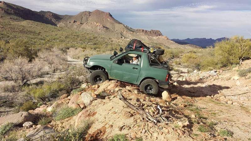
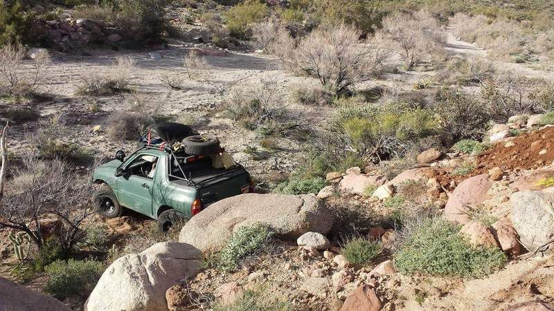
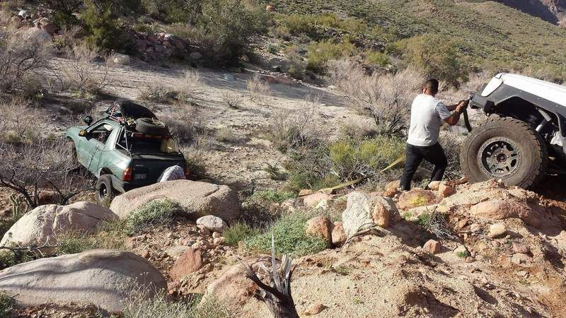
who is gonna bring the first pictures?
===
Harald, Good info. In answer to your question - I did not see that path (yellow/green). Tempting to drive up there and explore that area. Need to slow
down and pay attention to what is on the road side. |


