bajamortal - 3-3-2017 at 06:04 AM
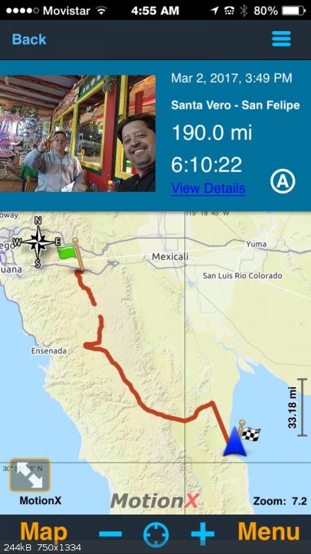
On March 2nd 2017 (yesterday), we had the opportunity once again to drive from RSV to Ojos Negros. The path has several areas where new creeks
developed and cross the trail but it remains passable. I counted about six such creeks that were not present last year. There is a section where the
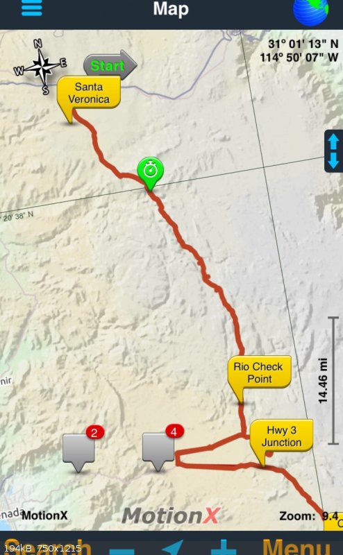
path developed into a creek itself for abot 200 feet making it a very engaging drive all the way to the ecotourism park (marked by Rio check point on
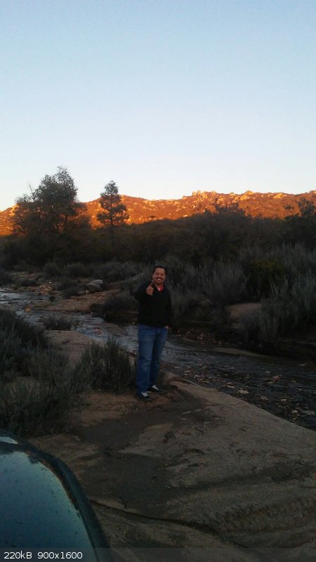
my map). The river at the Eco park was three times wider, the current significant but remains passable on four wheel vehicle. I'm not so sure bikes
can handle such current safely though. I would not recommend to try just yet. The additional creeks, cuts through the path due to the recent rain make
for an engaging ride all the way to Ojos Negros. From there we took Hwy 3 straight to San Felipe where I found some additional potholes before the
federal check point. Lat night there was a Federal police check point in addition to the usual military check point. Today we plan to head south of
San Felipe to Bay of LA.
For your reference, I'm driving on my Tacoma, not a 4x4. I'm also hauling my KLR so I can explore the area around B of LA on it.
Having some fun on my birthday here in Baja. 😄


mtgoat666 - 3-3-2017 at 07:08 AM
What is the eco park?
bajamortal - 3-3-2017 at 08:22 AM
It's an ecological park with cabins in the area. Sorry but I don't know what the park is called but it is closer to Ojos negros. There is also
hanging foot bridge that goes across the river.
