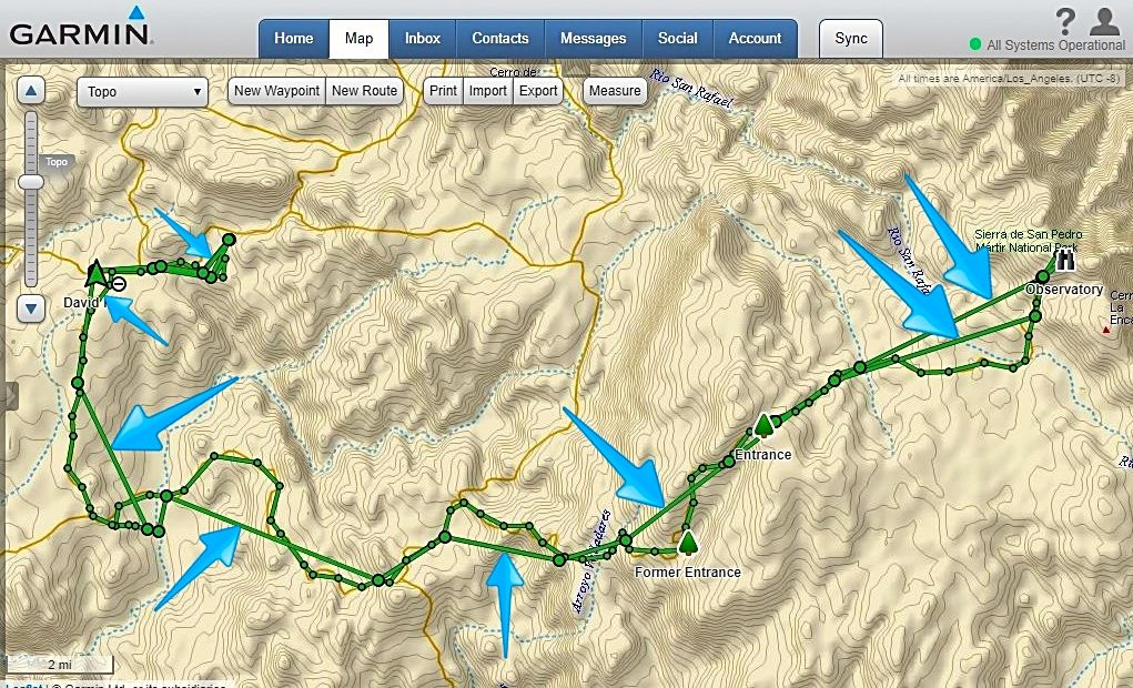
Here is my track point (only) map for 24 hours starting October 14, 8:05 am: Camp near La Corona to the observatory to Meling to El Coyote towards Mike's to by brake fail point, then back to El Coyote:
Still the straight, fly-over lines. Advise, please. They seem to connect the slightly larger circles?
====== =======
Let me explain further
My new settings for future trips
Inreach settings, tracking:
choose send 10 minutes, and log 1 sec.
The result is more points.
You always get straight lines between points so more points mean less straight lines or invisible lines. Even tho the trip I posted had less points than above it was good enough for my slow driving. New settings above will be even better. Fast driving means points are further apart and more straight lines to connect the points.
You cannot go back to an older trip and create points, so you must do the Inreach setup before your trip then Sync. Then after the trip make the Map settings (on your account) to agree with Inreach. I like to set my Map set up first then change my Inreach settings then Sync, then drive.
Keep your Inreach plugged in at all times because with the settings above you will have a short battery life.
If one was going hiking on battery then much fewer points and longer send would be appropriate.
So here is a picture if I zoom way in on the trip to Dilabito. Note that straight lines are present and small dots are track points and big dots are send dots.


