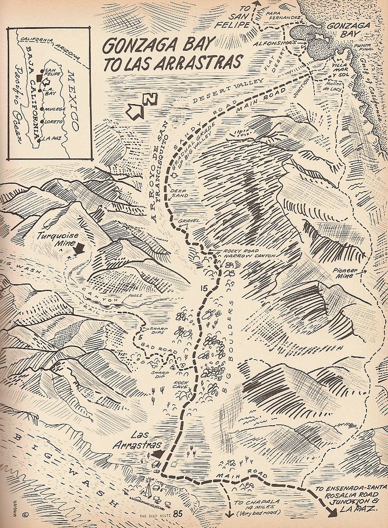
PaulW - 11-19-2017 at 02:44 PM
Turquoise Ponds access 11/18/17
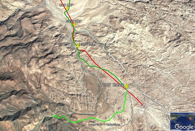
Red line is the new road and can be driven on* except to the area noted “Haul Road”. North bound take the steep ramp at the bridge at it south
end. Then take the next steep ramp up the hill to the new road. Trailers, cars, Pickup campers, and 18 wheeler big rigs all are OK for both ramps.
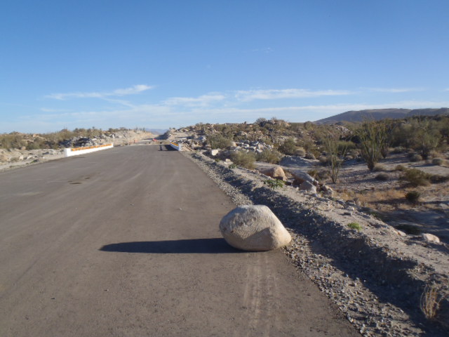
When going south look for the obvious ramp to the right to avoid the major construction that blocks the way. Then the next ramp is also obvious to
get back to the new highway. I bet next week one could probably skip the ramps?? No problem. Details: Old end of pavement 29° 36.728'N, 114°
23.885'W. New end of pavement 29° 36.158'N, 114° 23.597'W.
*Yes all the way to/from Chapala except as noted and the stretch from Coco's to the new road and it is not so good.
The Turk road exits the new Highway immediately north of a new bridge (green). Details: 29° 34.356'N, 114° 22.029'W. Easy drive on smooth dirt thru
the wash an up the other side going south then west (light green). The old access in a darker green would have gone under the new bridge (don’t
drive it).
GE pic at bottom
Easy road from Highway
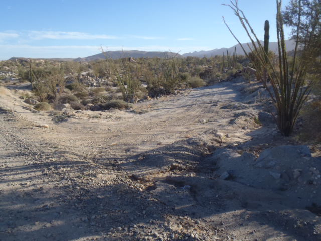
Road heading south thru the wash
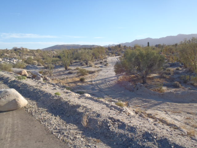
The bridge just south of the TQ access road
GE Image
[Edited on 11-19-2017 by PaulW]
David K - 11-19-2017 at 04:32 PM
Turk = Turquoise (I presume).
Thanks for the info. With new highway construction, finding the old roads to points of interest gets difficult!
The other problem comes when they erect the new fence along the highway that cuts off existing roads... until ranchers and prospectors re-open the
routes.
Here is a small web page I made (years ago, with some photos from Wayno) on the Turquoise Mine and the green water pools along the way: http://vivabaja.com/wayno/
Also: http://www.vivabaja.com/1102/page2.html
Cliff Cross Map from 1970:
