BajaNomad

What are the best beaches to camp on along the Seven Sisters?

JZ - 4-23-2018 at 06:33 PM

What's your favorite spots? Trying to plan out 2-3 sites.

One night will be around Canoas. Punta Canoas, looks a little more interesting cliff wise than Puerto Canoas, anyone have an opinion/info?

Leaning towards someplace around Punta Lobos for another one.


[Edited on 4-24-2018 by JZ]

[Edited on 4-24-2018 by BajaNomad]

dtbushpilot - 4-23-2018 at 06:58 PM

Where?

advrider - 4-23-2018 at 07:15 PM

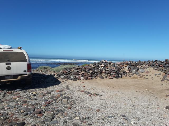
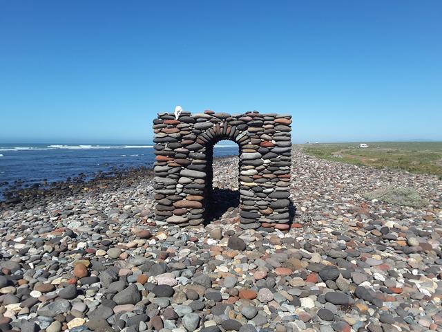
What is the one that had the cool art work/arches? I missed it this year...

mtgoat666 - 4-23-2018 at 07:37 PM

Quote: Originally posted by JZ  
What's your favorite spots? Trying to plan out 2-3 sites.

One night will be around Canoas. Punta Canoas, looks a little more interesting cliff wise than Puerto Canoas, anyone have an opinion/info?

Leaning towards someplace around Punta Lobos for another one.


Baja is getting crowded, and you twits are always asking for the secret spot so you can shoot a stupid gopro or drone video and post it on Facebook and ruin it for everybody,... go pound sand!
Some secrets shall remain secret!

TMW - 4-23-2018 at 07:47 PM

As I recall the Canoas area has too many people I would want a more private area. from there south most of the beaches are rocky until around the San Jose area. From there south there are many really good sandy beaches, take your pick. I like the Bahia Blanco area, good fishing. The south area is mostly flat and the north area there is a sand ridge set back from the beach with a fish camp at the very north end. Punta Cono is a good place to camp with an area high above the water. Playa el Marron is another really nice sandy beach. The south end at the coves is another good fishing spot.

JZ - 4-23-2018 at 07:51 PM

Quote: Originally posted by mtgoat666  

Baja is getting crowded, and you twits are always asking for the secret spot so you can shoot a stupid gopro or drone video and post it on Facebook and ruin it for everybody,... go pound sand!
Some secrets shall remain secret!


You've done better work on here. Didn't put too much into that one.

Interesting enough I cancelled my FB account in 2007. Realized pretty soon it was the fastest way to a quick divorce.


DanO - 4-23-2018 at 08:49 PM

Quote: Originally posted by JZ  

Interesting enough I cancelled my FB account in 2007. Realized pretty soon it was the fastest way to a quick divorce.


:lol:

Old girlfriends, I'm guessing. :saint:

chippy - 4-24-2018 at 05:01 AM

Quote: Originally posted by advrider  
What is the one that had the cool art work/arches? I missed it this year...


:cool:


David K - 4-24-2018 at 08:04 AM

JZ, did you take time to see my 2017 TRIP #4, which has the coast road and some beaches shown and detailed? There is more to this area of Baja than the brief surfing season of the Seven Sisters. Bad roads will continue to keep out 'mobs' so it is the road builders and not maps and photos the surfers need to fear.

TRIP #4: http://forums.bajanomad.com/viewthread.php?tid=86376


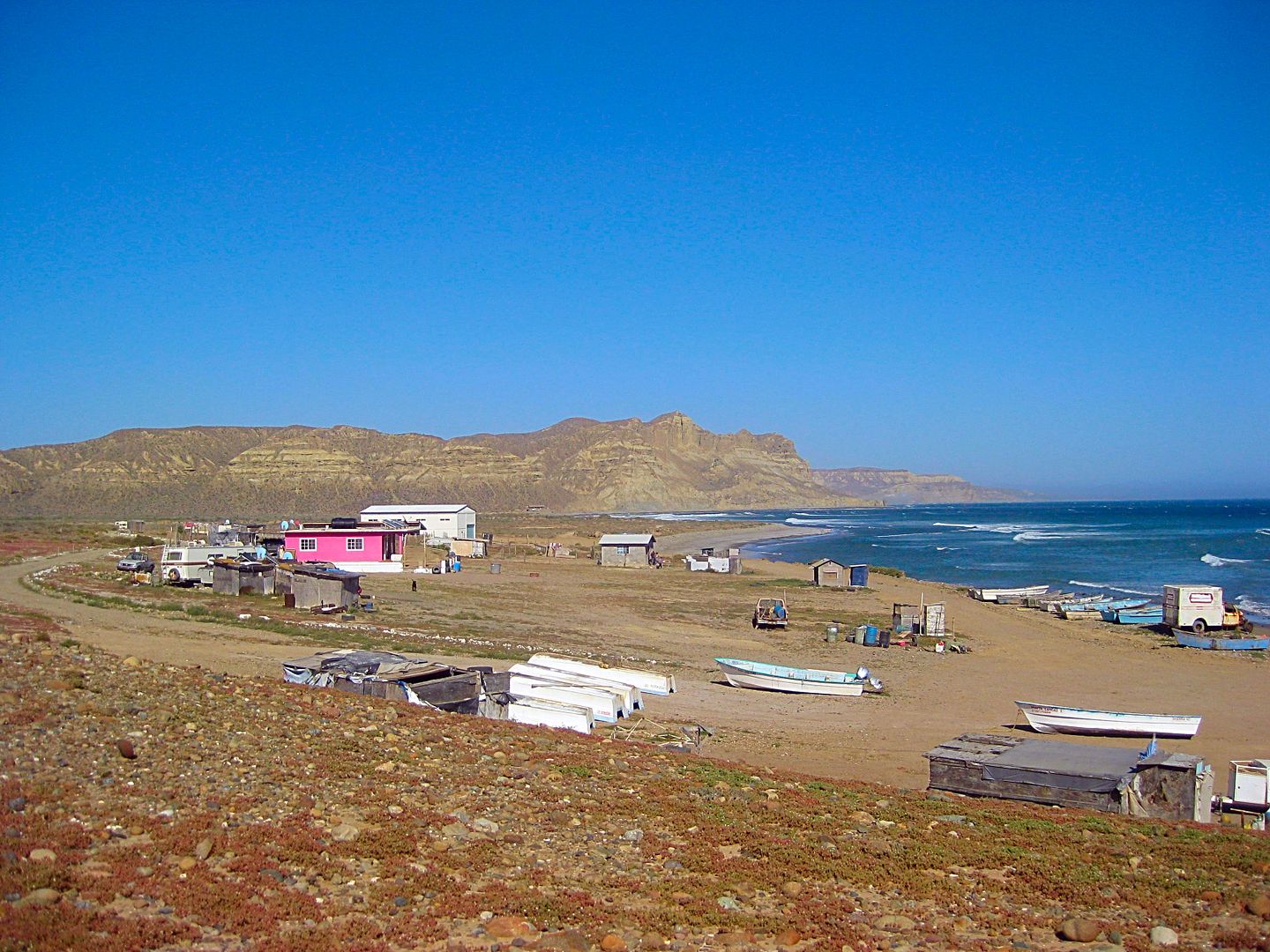
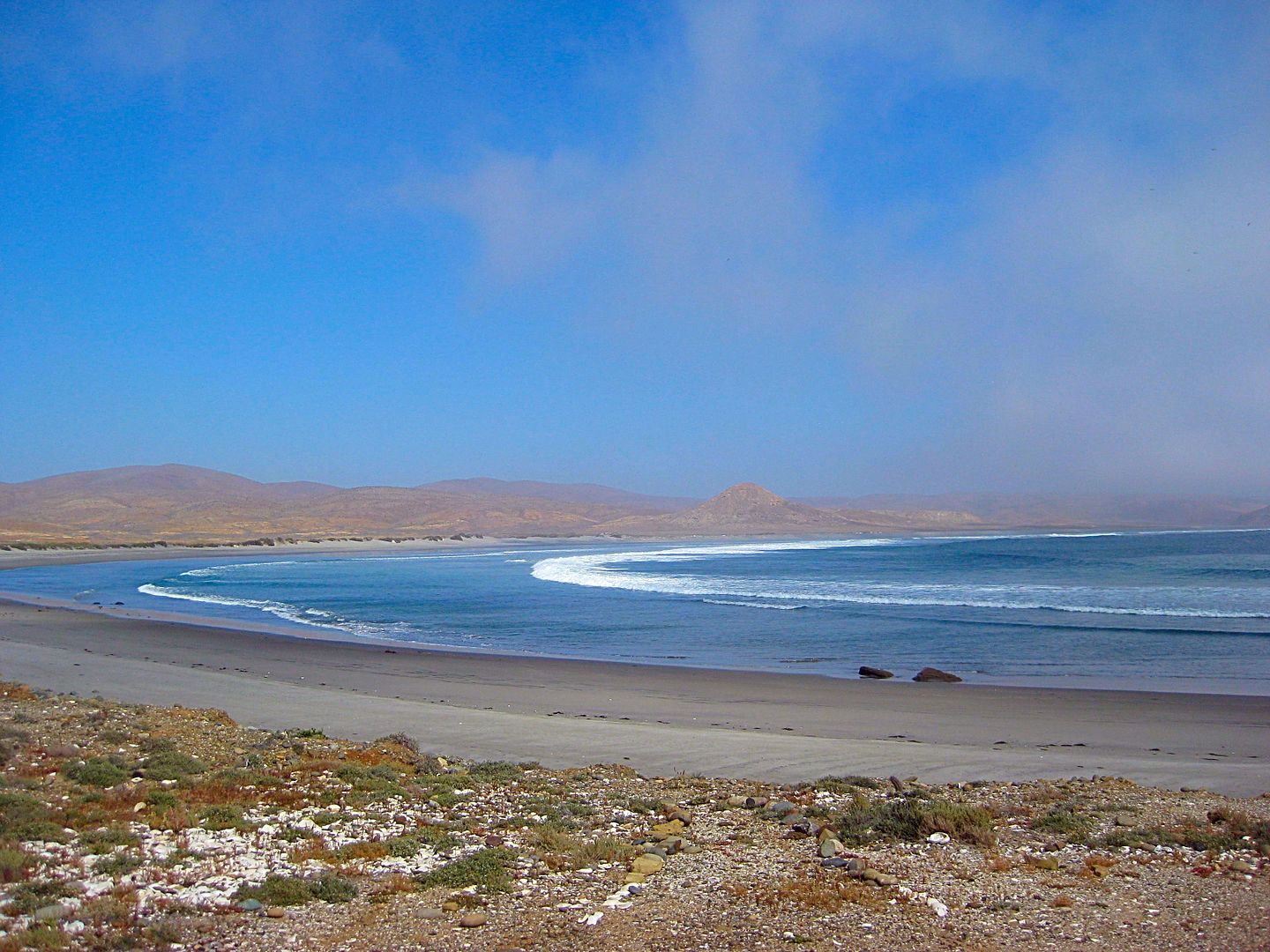
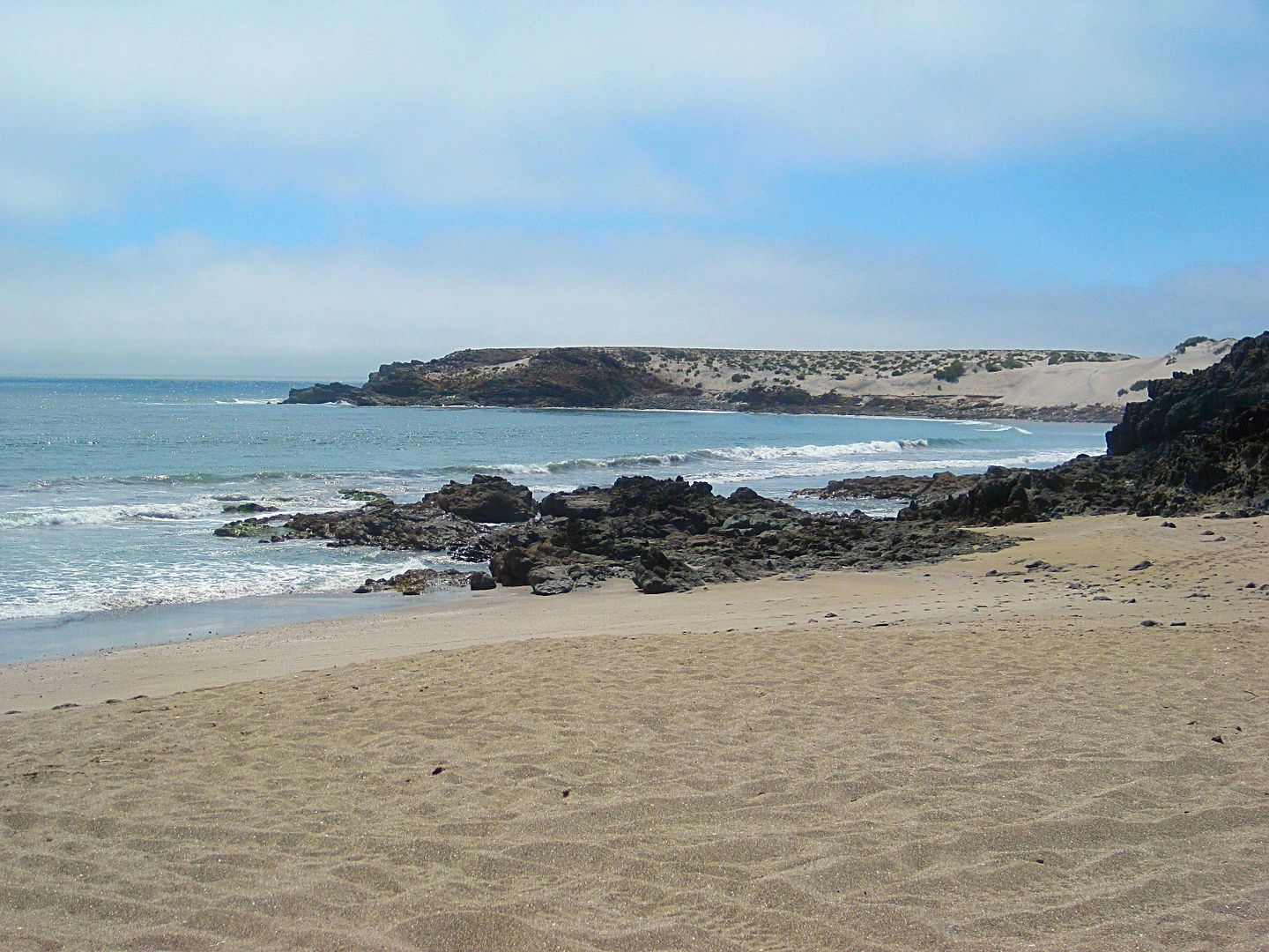
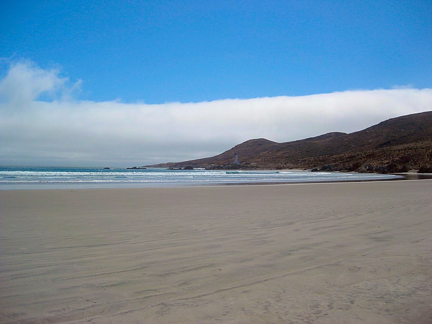
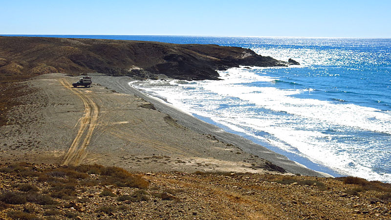
Puerto Canoas


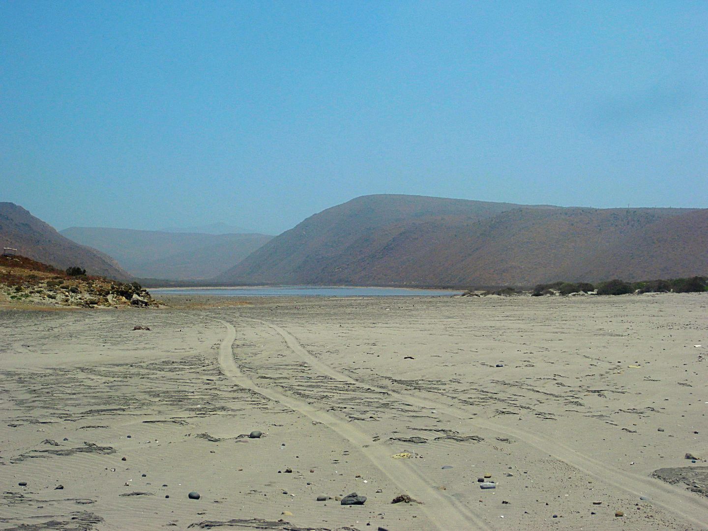
San José (beach and lagoon). A little island is offshore. The fish camp is on the left.


Bahía Córbin


El Cardón beach camp (Punta el Diablo)


El Marrón (Punta Negra)


[Edited on 4-25-2018 by David K]

StuckSucks - 4-24-2018 at 09:18 AM

Just drive along the coast, you will bump into a hundred excellent beach candidates.


Here's a few photo spheres I took along that coast:

https://goo.gl/maps/4isgk38WDJQ2
https://goo.gl/maps/bgSPJZXHiZo

Look to the east, you can see wildfire smoke, toward Cataviña:
https://goo.gl/maps/vjsY43eMnmH2

BajaGringo - 4-24-2018 at 11:20 AM

Quote: Originally posted by TMW  

As I recall the Canoas area has too many people I would want a more private area. from there south most of the beaches are rocky until around the San Jose area. From there south there are many really good sandy beaches, take your pick...


Yes, from the Catarina fish camp to Canoas there are more people there at times, seasonal fishermen and the coastline immediately south of Canoas is mostly rocky - not worth the effort it takes to get there if beach camping, beach combing, surfing or surf fishing is your goal.

I have explored the Seven Sisters area a few different times with a local old timer who was born and raised there in the region. He shared with me a lot of stories and history of the area, including one where his older brother found a small cache of old silver coins when digging for clams on one of the remote beaches there a half century back.

The coins were sold to a collector in Tijuana and the family used the proceeds to build a home in El Rosario back in the 60's. He still carries one of those coins with him as a good luck piece.

Stories like that have fueled the belief that there remains a lot of lost treasure to be found along the central Baja Pacific coastline from forgotten shipwrecks and pirate treasure left behind and many like him continue to look in their spare time.

There are many different remote beaches to be found as you head south along the central coastline there, each one unique and with varying degrees of difficulty in accessing them, based on recent rainfall mostly. The roads / trails are generally pretty rough but the scenery is fantastic. Be sure to stay alert for washouts. If you go slow enough you can avoid getting into trouble - look for work-arounds the locals use to get around the problem areas after rains although some areas just remain inaccessible after the rains with no obvious way to get around.

It is possible to reach many parts of the area with 2WD at times of the year but I always recommend folks to take a 4WD or AWD vehicle, just in case.

Baja Central Desert.jpg - 60kB

There is no cellular service and the fishermen there all communicate via radios, sending messages along from fish camp to camp until they either reach El Rosario to the north or Jesus Maria to the south. It is an amazing system and the fishermen's families all use it to keep in touch with their loved ones as well as send out any messages for requests for supplies or the need for an emergency response, should something happen.

Some of you may remember the 3 SoCal surfers who headed down during the rainy season a few years back and got stranded in the mud there; taken in by a local family until the roads could dry out a bit. Their families north of the border got concerned when they did not return with no word from them and contacted our facebook group for help. A member of our group is a family member of a fisherman working down in that area and got on the radio. Within a few hours word got back that the boys were OK, just stuck and staying with a local family.

Found-2a.jpg - 64kB

Probably another good example of the value in carrying a SPOT device or similar product.

Unfortunately, that remote coastal area has also become more popular for drug runners to offload product, creating makeshift runways lit by truck headlights. I have heard a few reports of campers being awoke during the night and asked to "move".

Drug airstrip.jpg - 50kB

The Seven Sisters area is actually more than just 7 good surf breaks along that coastline and a few in particular seem to be the most popular for the veterans but I'm sworn to secrecy.

Best to just go and seek out your own favorite spot...

Baja Secret Spot.jpg - 31kB


[Edited on 4-24-2018 by BajaGringo]

TMW - 4-24-2018 at 11:45 AM

Thanks Ron, good info. I've always enjoyed that coastal drive, I think due to it's beauty and remoteness.

LukeJobbins - 4-24-2018 at 05:52 PM

The one with the best waves and least people

woody with a view - 4-24-2018 at 10:31 PM

Cmon J, nobody needs a documentary showing all of the cool places you’ll find. Please keep the landmarks cropped out and enjoy your trip!

JZ - 4-26-2018 at 07:01 PM

Punta Canoas to the West of the main fish camp looks a like more interesting to me. Not necessarily to camp on the beach, more the cliffs above the beach. Anyone checked that area out?


[Edited on 4-27-2018 by JZ]

JZ - 4-26-2018 at 07:05 PM

Quote: Originally posted by StuckSucks  
Just drive along the coast, you will bump into a hundred excellent beach candidates.


I get you, good advice. We rode it last year and winged it.

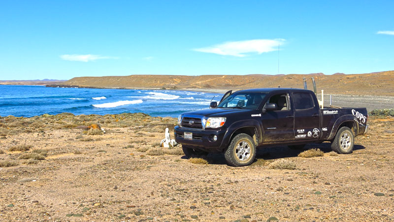
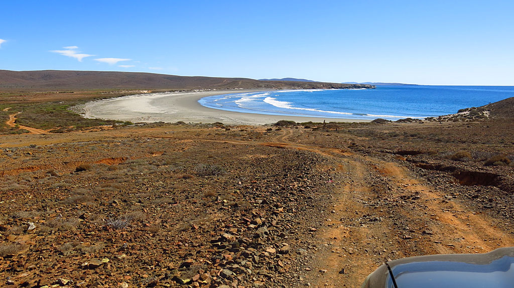
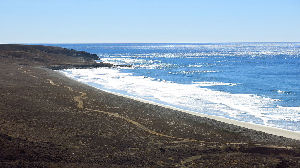
Where is this one? PM me if you don't want to make it public.


[Edited on 4-27-2018 by JZ]

mtgoat666 - 4-26-2018 at 07:35 PM

Quote: Originally posted by JZ  
Quote: Originally posted by StuckSucks  
Just drive along the coast, you will bump into a hundred excellent beach candidates.


I get you, good advice. We rode it last year and winged it.

Where is this one? PM me if you don't want to make it public.


[Edited on 4-27-2018 by JZ]


That picture shows road scar of 100,000 prior visitors from Orange County. Just follow the road, you’ll find a few of your fellow OC plastic people

JZ - 4-26-2018 at 07:50 PM

Quote: Originally posted by mtgoat666  

That picture shows road scar of 100,000 prior visitors from Orange County.


I'll pick you up in SD before we cross the border and you can help us p/u trash along the way, you game?


[Edited on 4-27-2018 by JZ]

mtgoat666 - 4-26-2018 at 08:32 PM

Quote: Originally posted by JZ  
Quote: Originally posted by mtgoat666  

That picture shows road scar of 100,000 prior visitors from Orange County.


I'll pick you up in SD before we cross the border and you can help us p/u trash along the way, you game?


[Edited on 4-27-2018 by JZ]


Given the choice between being dipped in hot oil and vacationing with knuckle-dragging republicans — i’ll pick the hot oil :P:P:P:P

AKgringo - 4-26-2018 at 09:06 PM

Where can I send some oil?

motoged - 4-27-2018 at 11:39 AM

Does anyone have an approximate mileage from the highway turnoff north of Catavina to Punta Canoas, down the coast and out to Hwy 1 around Jesus Maria area?

I have wanted to do this for years on my 450 EXC....and wonder if I need the 5 gallon tank...

I know some fishermen along the way might have gas for sale/trade...

Any experienced info would be appreciated....:coolup:


BajaGringo - 4-27-2018 at 12:21 PM

Quote: Originally posted by motoged  
Does anyone have an approximate mileage from the highway turnoff north of Catavina to Punta Canoas, down the coast and out to Hwy 1 around Jesus Maria area?

I have wanted to do this for years on my 450 EXC....and wonder if I need the 5 gallon tank...

I know some fishermen along the way might have gas for sale/trade...

Any experienced info would be appreciated....:coolup:


I have been out there often, each time taking a slightly different route. You will find several forks in the road with some of these simply joining back up farther down. Sometimes not and that is where you have to be careful. I have often wondered if Gary Patton tried to walk out of there after running into difficulty, only to get hopelessly lost in the myriad of roads and paths, succumbing to the elements?

The average route is around 50 miles and it will take you between 75-90 minutes or more, based on your vehicle suspension and how fast you ride/drive.

Good place to have a GPS messaging device.

Take some smokes to hand out at the fish camps and you will have some new best friends willing to share their fresh catch as well as offer up any needed advice for where to head next.

Have fun!

grizzlyfsh95 - 4-27-2018 at 12:21 PM

Quote: Originally posted by mtgoat666  
Quote: Originally posted by JZ  
Quote: Originally posted by mtgoat666  

That picture shows road scar of 100,000 prior visitors from Orange County.


I'll pick you up in SD before we cross the border and you can help us p/u trash along the way, you game?


[Edited on 4-27-2018 by JZ]


Given the choice between being dipped in hot oil and vacationing with knuckle-dragging republicans — i’ll pick the hot oil :P:P:P:P


Well bless your heart goat. You just can't help yourself, can you?

JZ - 4-27-2018 at 12:22 PM

Quote: Originally posted by motoged  
Does anyone have an approximate mileage from the highway turnoff north of Catavina to Punta Canoas, down the coast and out to Hwy 1 around Jesus Maria area?

I have wanted to do this for years on my 450 EXC....and wonder if I need the 5 gallon tank...

I know some fishermen along the way might have gas for sale/trade...

Any experienced info would be appreciated....:coolup:


I'll measure it when I get back to my home pc tonight.


[Edited on 4-27-2018 by JZ]

David K - 4-27-2018 at 01:22 PM

Quote: Originally posted by motoged  
Does anyone have an approximate mileage from the highway turnoff north of Catavina to Punta Canoas, down the coast and out to Hwy 1 around Jesus Maria area?

I have wanted to do this for years on my 450 EXC....and wonder if I need the 5 gallon tank...

I know some fishermen along the way might have gas for sale/trade...

Any experienced info would be appreciated....:coolup:


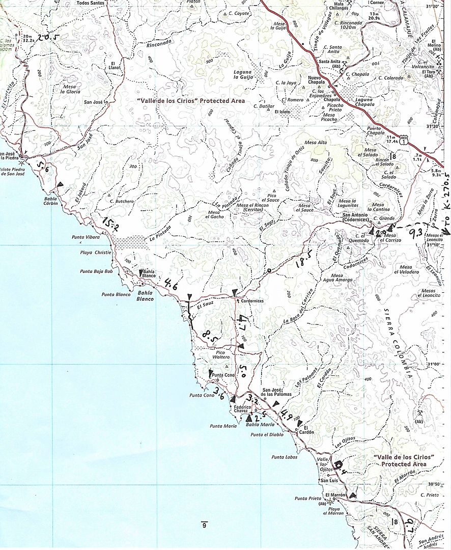
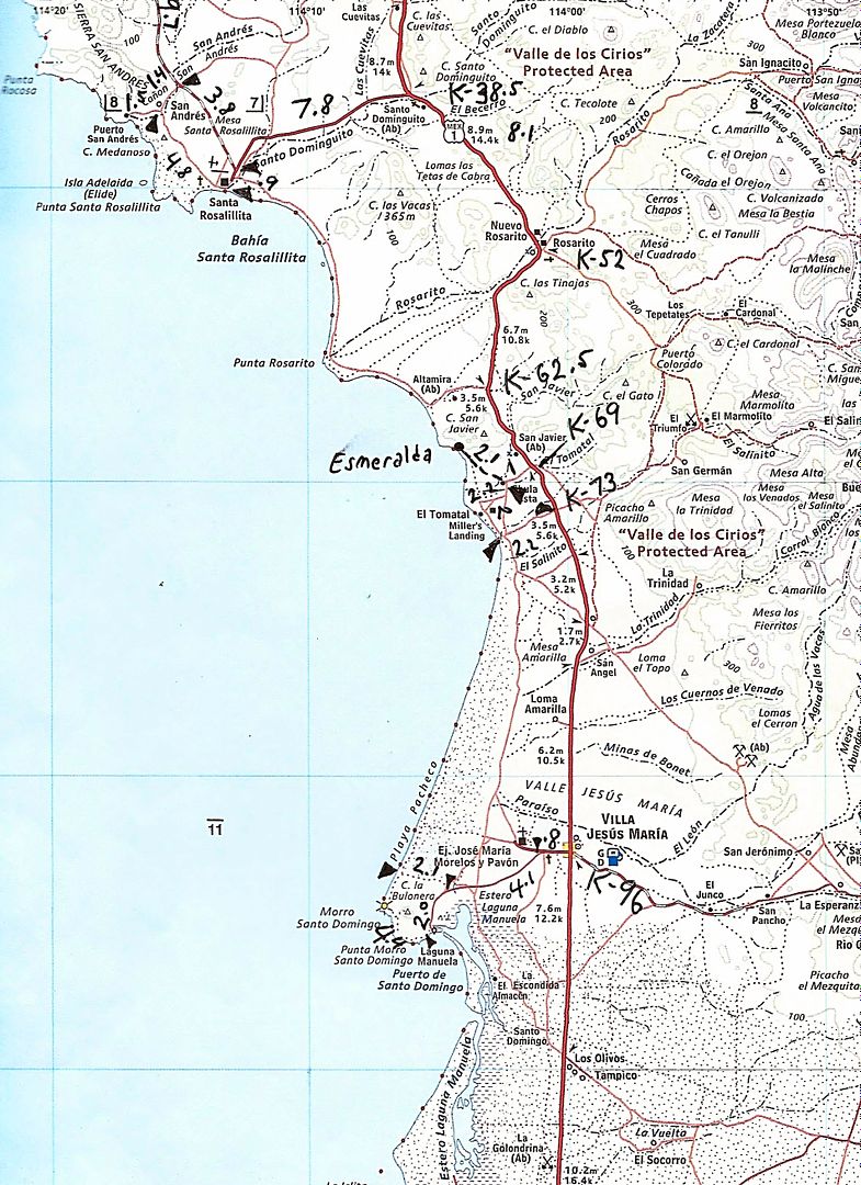
Sure... but the road just north of Cataviña goes directly to Faro San José and not Canoas, which is to the northwest of that road. Gary Patton's Toyota was found just off the abandoned road to Canoas from the above road (near Rancho Santa María on the map). Newer traffic uses the coastal road via Los Morros to go between Canoas and San José fish camp. I drove both roads last year.

*Cataviña is at Km. 179 (6.8 miles south of road to coast).
*Hwy. 1 (Km. 168) to Faro San José is about 44 miles.
*Faro San José to Punta Cono Jcn. (where the good graded road begins) is 39 miles.
*Punta Cono to Santa Rosalillita is 32 miles. Emergency gas here.
*Santa Rosalillita to Hwy. 1 (at Km. 62.5) via Punta Rosarito is 18 miles.
*Villa Jesus María Pemex is at Km. 95. (20 miles from Km. 62.5).
160 total miles Cataviña to Villa Jesus María.

Here are the Almanac maps with my mileage recordings penciled in:


This is all from my TRIP #4 (2017) report here on Nomad: http://forums.bajanomad.com/viewthread.php?tid=86376

David K - 4-27-2018 at 01:32 PM

Quote: Originally posted by JZ  
Punta Canoas to the West of the main fish camp looks a like more interesting to me. Not necessarily to camp on the beach, more the cliffs above the beach. Anyone checked that area out?


[Edited on 4-27-2018 by JZ]


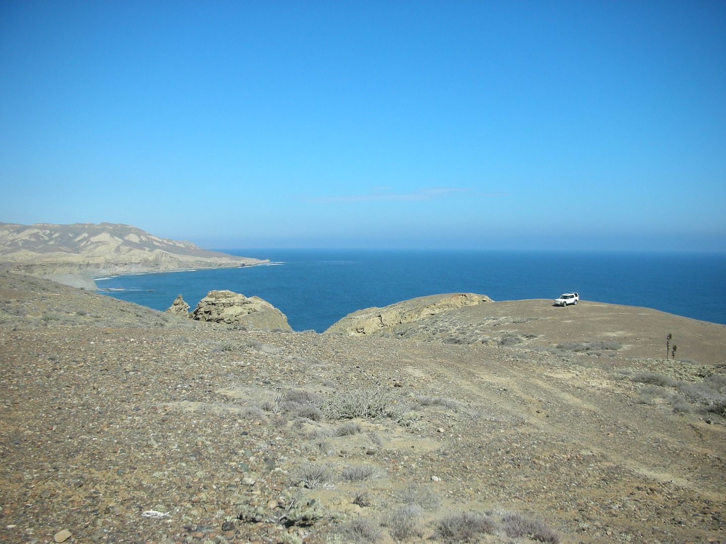
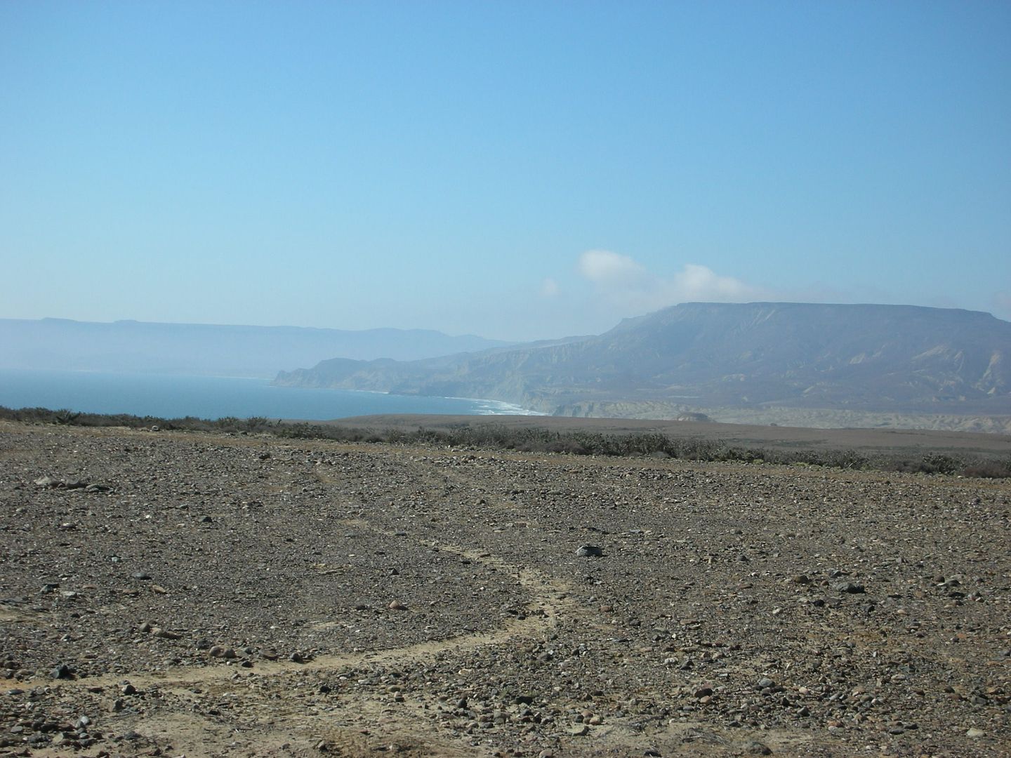
In 2007, we drove up to the top of the Canoas Mesa above Punta Canoas, before heading south... very windy and quite a view! Last year, I took the left fork and went directly to Puerto Canoas.


South (Squarecircle's LR-3 in distance)


North


Windy!

JZ - 4-27-2018 at 06:10 PM

Quote: Originally posted by motoged  
Does anyone have an approximate mileage from the highway turnoff north of Catavina to Punta Canoas, down the coast and out to Hwy 1 around Jesus Maria area?

I have wanted to do this for years on my 450 EXC....and wonder if I need the 5 gallon tank...

I know some fishermen along the way might have gas for sale/trade...

Any experienced info would be appreciated....:coolup:


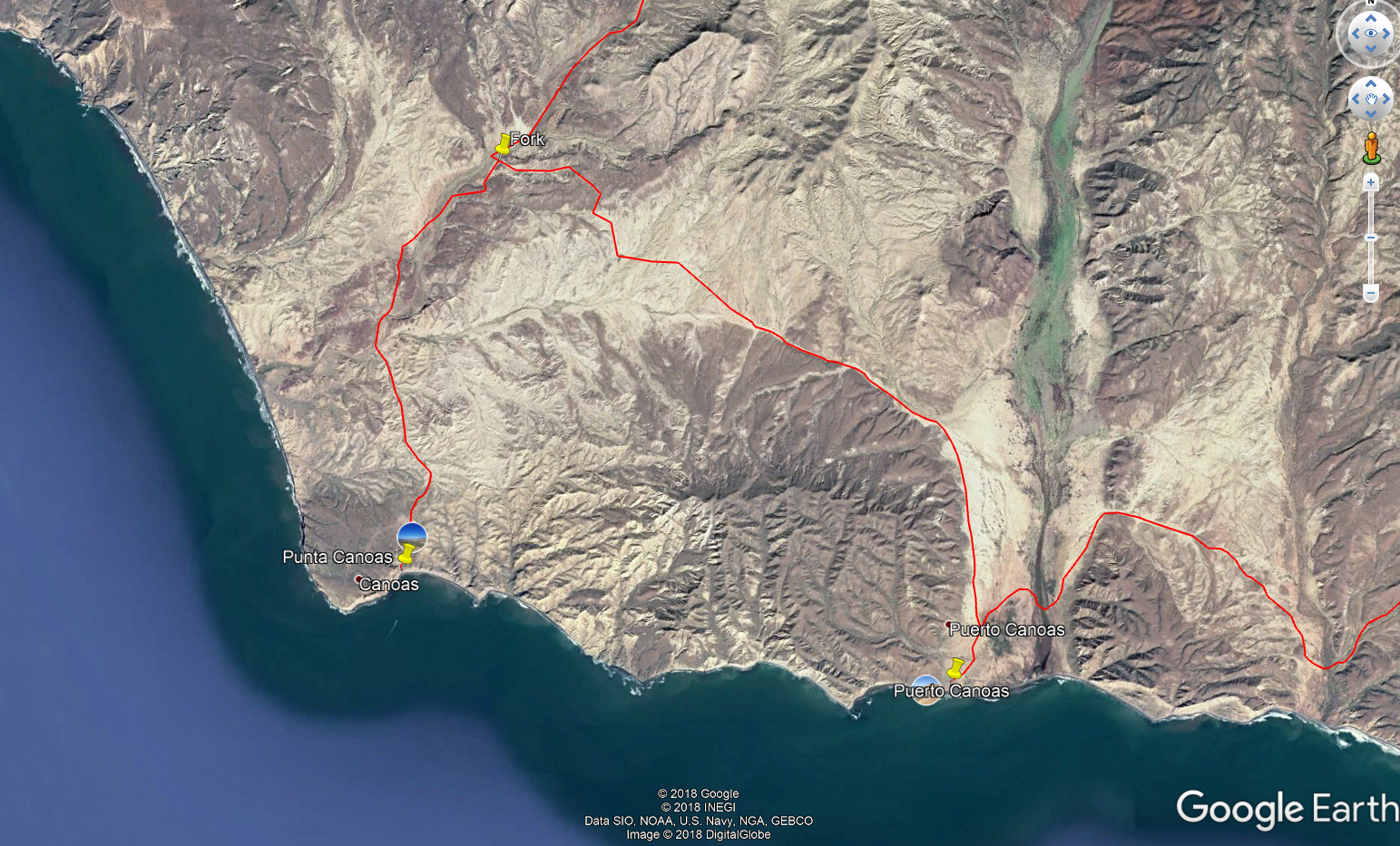
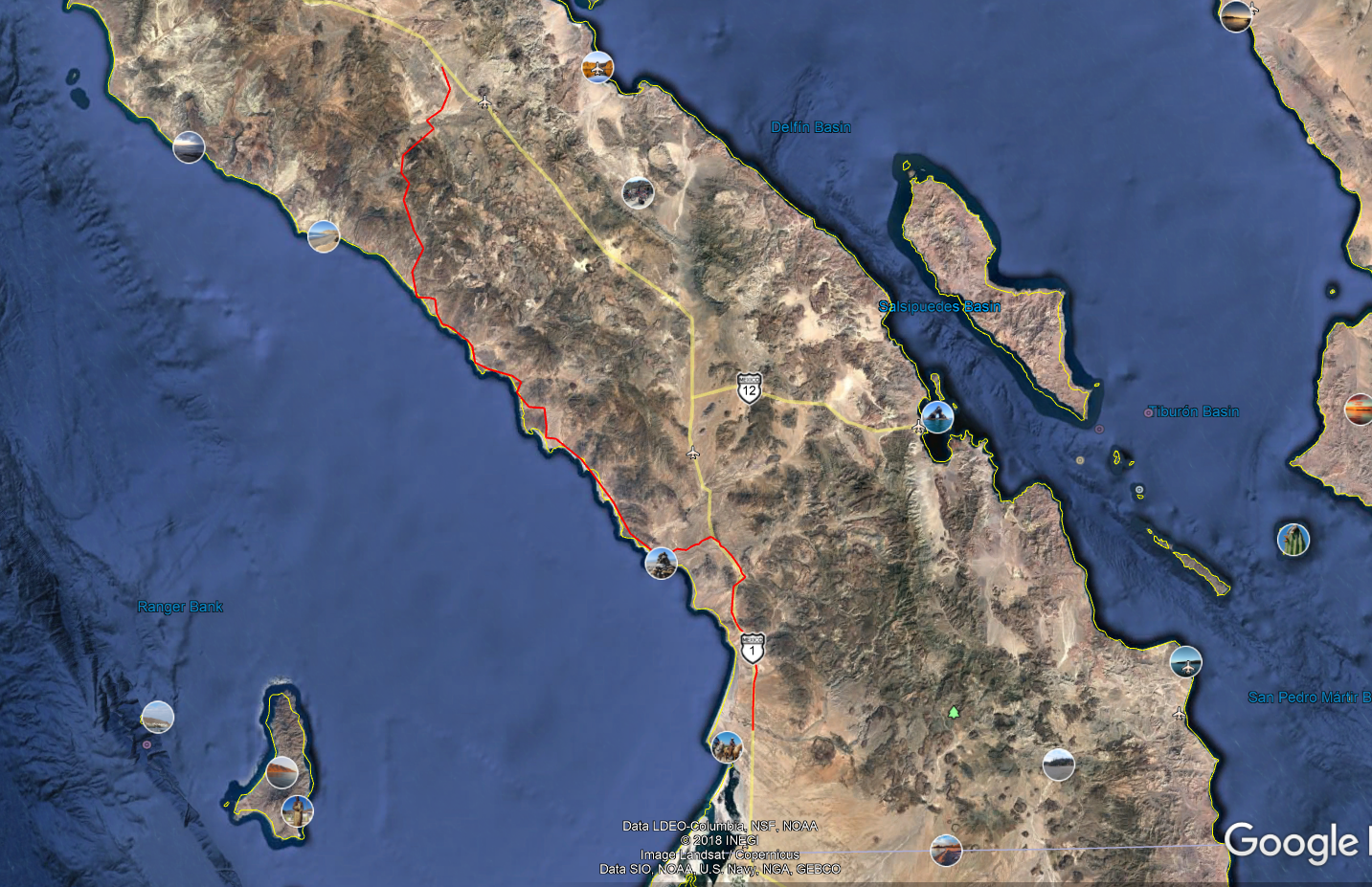
Here's the route in red. Right at 150 miles, but probably 10-15 miles longer as I cut some corners in mapping it fast.

If you take the route that drops you into Canoas instead of San Jose (turn off roughly 25 miles before Catavina), then that adds ~20 miles to the trip, but more in the dirt.


[Edited on 4-28-2018 by JZ]

JZ - 4-27-2018 at 06:17 PM

Quote: Originally posted by David K  


In 2007, we drove up to the top of the Canoas Mesa above Punta Canoas, before heading south... very windy and quite a view! Last year, I took the left fork and went directly to Puerto Canoas.


I think we are going to check it out when riding down from Hwy 1. Take a lunch break, drink a couple beers, fly the drone, and then head down to a camp spot below San Jose.

StuckSucks - 4-27-2018 at 06:28 PM

Quote: Originally posted by JZ  
I think we are going to check it out when riding down from Hwy 1. Take a lunch break, drink a couple beers, fly the drone, and then head down to a camp spot below San Jose.


Please share video when you return from the trip (or during is OK too).

motoged - 4-28-2018 at 08:11 AM

Muchas gracias amigos for the mileage and map info :cool:

Planning to do it this coming winter and camp out along the way for a few sleeps....too epic a ride to blast through in a day...planning a solo ride but a few Nomads may tag along if they can figure out how to camp...maybe one of them will arrange a support vehicle to carry their dainties.... :light:

David K - 4-28-2018 at 08:27 AM

If you have any specific questions Ged, just email or u2u me. I was fortunate to cover much of Baja last year for the Baja Bound research. I put most of my trip and photos in my 7 trip reports in 2017, but not all.

BajaRob - 4-28-2018 at 03:21 PM

Quote: Originally posted by JZ  
Quote: Originally posted by mtgoat666  

That picture shows road scar of 100,000 prior visitors from Orange County.


I'll pick you up in SD before we cross the border and you can help us p/u trash along the way, you game?


[Edited on 4-27-2018 by JZ]

JZ - 4-28-2018 at 03:51 PM

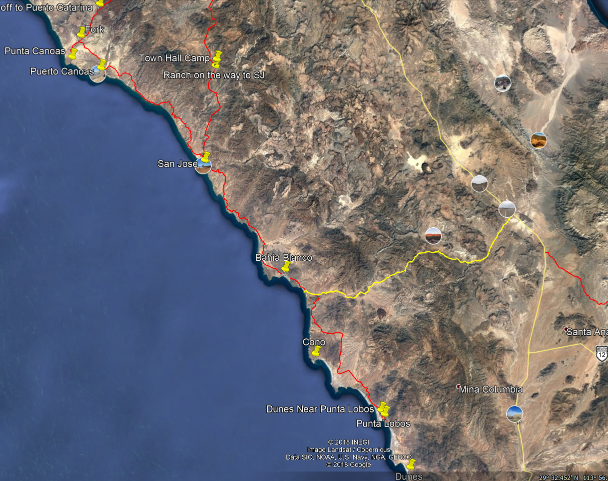
Anyone know what the biggest dunes along the route?

The ones just Southwest of Punta Cono look pretty big on Google Earth. Anyone know how big they are?